Estimated Value: $267,000 - $358,000
--
Bed
3
Baths
3,082
Sq Ft
$98/Sq Ft
Est. Value
About This Home
This home is located at 2846 W Highway 64, Ozark, AR 72949 and is currently estimated at $300,770, approximately $97 per square foot. 2846 W Highway 64 is a home located in Franklin County with nearby schools including Marvin Primary School, Pleasant View Junior High School, and Mulberry High School.
Ownership History
Date
Name
Owned For
Owner Type
Purchase Details
Closed on
Dec 9, 2021
Sold by
Sossamon Billy M and Sossamon Elizabeth M
Bought by
Elizabeth Martha Sossamon And Billy Mack Soss
Current Estimated Value
Purchase Details
Closed on
Jul 16, 2018
Sold by
Sossamon Elizabeth Martha and Sossamon Billy Mack
Bought by
Sossamon Elizabeth Martha and Sossamon Billy Mack
Purchase Details
Closed on
Aug 19, 1997
Bought by
Smith and Sossamon
Create a Home Valuation Report for This Property
The Home Valuation Report is an in-depth analysis detailing your home's value as well as a comparison with similar homes in the area
Home Values in the Area
Average Home Value in this Area
Purchase History
| Date | Buyer | Sale Price | Title Company |
|---|---|---|---|
| Elizabeth Martha Sossamon And Billy Mack Soss | -- | Adams Abstract & Title | |
| Sossamon Elizabeth Martha | -- | None Available | |
| Smith | -- | -- |
Source: Public Records
Tax History Compared to Growth
Tax History
| Year | Tax Paid | Tax Assessment Tax Assessment Total Assessment is a certain percentage of the fair market value that is determined by local assessors to be the total taxable value of land and additions on the property. | Land | Improvement |
|---|---|---|---|---|
| 2025 | $1,447 | $45,790 | $3,380 | $42,410 |
| 2024 | $1,547 | $45,790 | $3,380 | $42,410 |
| 2023 | $1,622 | $45,790 | $3,380 | $42,410 |
| 2022 | $1,672 | $45,790 | $3,380 | $42,410 |
| 2021 | $1,527 | $45,790 | $3,380 | $42,410 |
| 2020 | $1,527 | $41,520 | $2,380 | $39,140 |
| 2019 | $1,527 | $41,520 | $2,380 | $39,140 |
| 2018 | $1,552 | $41,520 | $2,380 | $39,140 |
| 2017 | $1,552 | $41,520 | $2,380 | $39,140 |
| 2016 | $1,552 | $41,520 | $2,380 | $39,140 |
| 2015 | $1,539 | $41,250 | $2,380 | $38,870 |
| 2014 | -- | $41,250 | $2,380 | $38,870 |
| 2013 | -- | $41,250 | $2,380 | $38,870 |
Source: Public Records
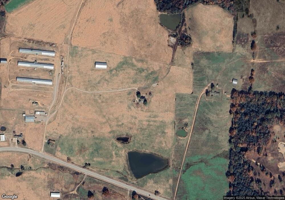
Map
Nearby Homes
- 8071 Red Oak Dr
- 1832 Lone Oak Rd
- TBD Scenic View Rd
- 719 Norma Ln
- 4205 Woodland W
- 4503 Dogwood Ln
- 721 S 37th St
- 617 N 35th St
- TBD Commercial St
- tbd Hwy 64 & Adams R Tbd
- 203 S 35th St
- 0 Citadel Bluff Trail
- 918 Citadel Bluff Trail
- 213 S 30th St
- 301 S 30th St
- 310 S 29th St
- 213 N 28th St
- 2706 Whitney Dr
- 402 N 27th St
- 413 N 26th St
- 2746 W Highway 64
- 3120 W Highway 64
- 3040 W Highway 64
- 2907 W Highway 64
- 2514 W Highway 64
- 3331 W Highway 64
- 2445 W Highway 64
- 3340 W Highway 64
- 2427 W Highway 64
- 3423 W Highway 64
- 2439 W Highway 64
- 2407 W Highway 64
- 2226 W Highway 64
- 2147 W Highway 64
- 3909 Wren Loop
- 2806 Adams Rd
- 3808 W Highway 64
- 2111 W Highway 64
- 2909 Adams Rd
- 2845 Adams Rd