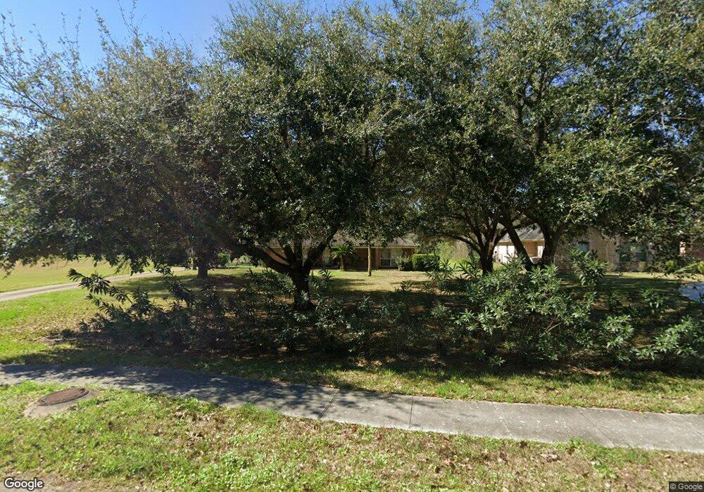
2846 Westchester Cir Pearland, TX 77584
Estimated Value: $318,000 - $351,000
--
Bed
1
Bath
2,194
Sq Ft
$154/Sq Ft
Est. Value
About This Home
This home is located at 2846 Westchester Cir, Pearland, TX 77584 and is currently estimated at $337,699, approximately $153 per square foot. 2846 Westchester Cir is a home located in Brazoria County with nearby schools including H.C. Carleston Elementary School, Sam Jamison Middle School, and Pearland Junior High School South.
Ownership History
Date
Name
Owned For
Owner Type
Purchase Details
Closed on
Feb 25, 2005
Sold by
Mcguff Jon and Mcguff Maria Helena
Bought by
Rubio Rolando and Rubio Suwanna A
Current Estimated Value
Home Financials for this Owner
Home Financials are based on the most recent Mortgage that was taken out on this home.
Original Mortgage
$155,750
Outstanding Balance
$79,484
Interest Rate
5.71%
Mortgage Type
Fannie Mae Freddie Mac
Estimated Equity
$258,215
Purchase Details
Closed on
May 2, 2003
Sold by
Mcguff Helen L and Mcguff Helen Loyce Pearce
Bought by
Mcguff Jon
Home Financials for this Owner
Home Financials are based on the most recent Mortgage that was taken out on this home.
Original Mortgage
$60,800
Interest Rate
5.87%
Mortgage Type
Purchase Money Mortgage
Create a Home Valuation Report for This Property
The Home Valuation Report is an in-depth analysis detailing your home's value as well as a comparison with similar homes in the area
Home Values in the Area
Average Home Value in this Area
Purchase History
| Date | Buyer | Sale Price | Title Company |
|---|---|---|---|
| Rubio Rolando | -- | Chicago Title Insurance Comp | |
| Mcguff Jon | -- | Chicago Title Insurance Co |
Source: Public Records
Mortgage History
| Date | Status | Borrower | Loan Amount |
|---|---|---|---|
| Open | Rubio Rolando | $155,750 | |
| Previous Owner | Mcguff Jon | $60,800 |
Source: Public Records
Tax History Compared to Growth
Tax History
| Year | Tax Paid | Tax Assessment Tax Assessment Total Assessment is a certain percentage of the fair market value that is determined by local assessors to be the total taxable value of land and additions on the property. | Land | Improvement |
|---|---|---|---|---|
| 2025 | $6,261 | $286,300 | $87,850 | $198,450 |
| 2023 | $6,261 | $242,143 | $87,850 | $222,680 |
| 2022 | $5,695 | $236,750 | $67,580 | $169,170 |
| 2021 | $6,100 | $236,750 | $67,580 | $169,170 |
| 2020 | $6,311 | $239,130 | $67,580 | $171,550 |
| 2019 | $5,738 | $240,630 | $67,580 | $173,050 |
| 2018 | $5,143 | $191,420 | $67,580 | $123,840 |
| 2017 | $5,470 | $234,950 | $67,580 | $167,370 |
| 2016 | $4,994 | $220,520 | $67,580 | $152,940 |
| 2014 | $4,089 | $168,150 | $67,580 | $100,570 |
Source: Public Records
Map
Nearby Homes
- 1 Farm To Market 1128
- 2802 Afton Dr
- 2526 Oak Rd
- 2811 Afton Dr
- 2534 Oak Rd
- 9.6 AC Fite Rd
- 7333 Fite Rd
- 6816 Broadway St
- 4811 Meadowglen Dr
- 2453 Roy Rd Unit 105
- 4915 Pecan Grove Dr
- 6806 Adella Ct
- 4622 Pecan Grove Dr
- 2826 Foxden Dr
- 0 Cullen Pkwy Unit 80720255
- 0 W Broadway St
- 2350 Hawk Meadows
- 3402 Windmill Palm Dr
- 2815 Abbey Field Dr
- 3506 Windmill Palm Dr
- 2830 Westchester Cir
- 2850 Westchester Cir
- 2820 Westchester Cir
- 2829 Westchester Cir
- 7477 Ping St
- 2981 Byng St
- 2845 Westchester Cir
- 7479 Ping St
- 2983 Byng St
- 2810 Westchester Cir
- 7481 Ping St
- 2858 Westchester Cir
- 2985 Byng St
- 7483 Ping St
- 7478 Ping St
- 2987 Byng St
- 7480 Ping St
- 7485 Ping St
- 7487 Ping St
- 2989 Byng St
