28467 Mine Run Rd Rhoadesville, VA 22542
Estimated Value: $532,067 - $586,000
3
Beds
3
Baths
2,710
Sq Ft
$205/Sq Ft
Est. Value
About This Home
This home is located at 28467 Mine Run Rd, Rhoadesville, VA 22542 and is currently estimated at $554,767, approximately $204 per square foot. 28467 Mine Run Rd is a home located in Orange County with nearby schools including Unionville Elementary School, Lightfoot Elementary School, and Locust Grove Middle School.
Ownership History
Date
Name
Owned For
Owner Type
Purchase Details
Closed on
May 10, 2023
Sold by
Holbrook Danny E
Bought by
Cooper Christopher A and Cooper Kaitlyne Olivia
Current Estimated Value
Home Financials for this Owner
Home Financials are based on the most recent Mortgage that was taken out on this home.
Original Mortgage
$444,000
Outstanding Balance
$430,530
Interest Rate
6.32%
Mortgage Type
VA
Estimated Equity
$124,237
Create a Home Valuation Report for This Property
The Home Valuation Report is an in-depth analysis detailing your home's value as well as a comparison with similar homes in the area
Purchase History
| Date | Buyer | Sale Price | Title Company |
|---|---|---|---|
| Cooper Christopher A | $490,000 | None Listed On Document |
Source: Public Records
Mortgage History
| Date | Status | Borrower | Loan Amount |
|---|---|---|---|
| Open | Cooper Christopher A | $444,000 |
Source: Public Records
Tax History
| Year | Tax Paid | Tax Assessment Tax Assessment Total Assessment is a certain percentage of the fair market value that is determined by local assessors to be the total taxable value of land and additions on the property. | Land | Improvement |
|---|---|---|---|---|
| 2025 | $2,354 | $298,700 | $85,700 | $213,000 |
| 2024 | $2,354 | $298,700 | $85,700 | $213,000 |
| 2023 | $2,354 | $298,700 | $85,700 | $213,000 |
| 2022 | $2,354 | $298,700 | $85,700 | $213,000 |
| 2021 | $2,259 | $313,800 | $85,700 | $228,100 |
| 2020 | $2,259 | $313,800 | $85,700 | $228,100 |
| 2019 | $2,112 | $262,700 | $85,700 | $177,000 |
| 2018 | $2,112 | $262,700 | $85,700 | $177,000 |
| 2017 | $2,112 | $262,700 | $85,700 | $177,000 |
| 2016 | $2,112 | $262,700 | $85,700 | $177,000 |
| 2015 | -- | $284,800 | $108,400 | $176,400 |
| 2014 | -- | $284,800 | $108,400 | $176,400 |
Source: Public Records
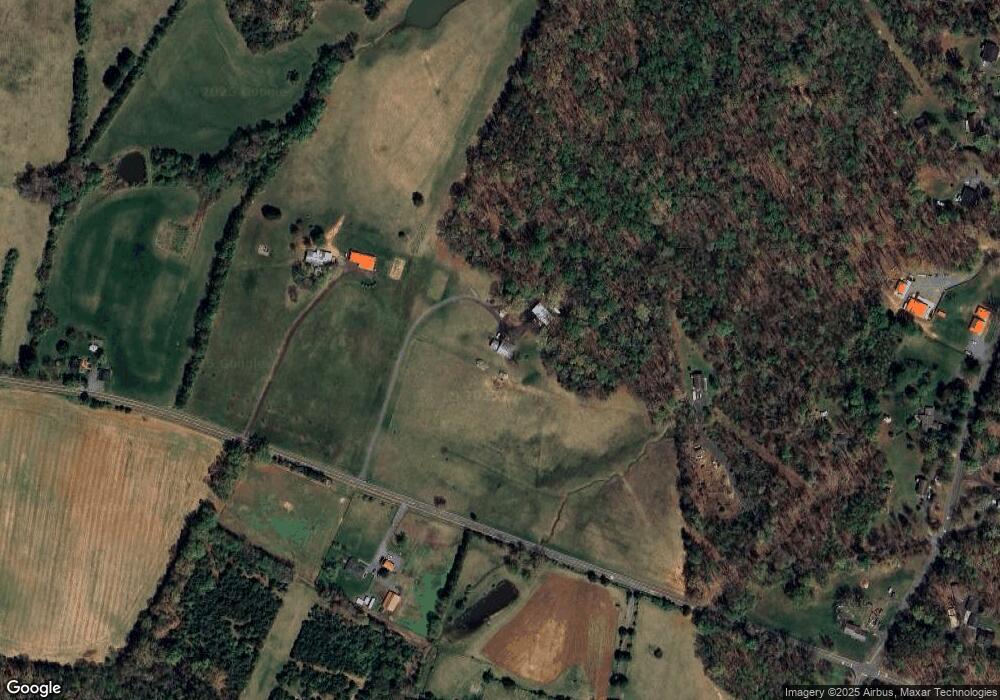
Map
Nearby Homes
- 10417 Old Lawyers Rd
- 27472 Strawberry Hill Rd
- 11310 Saint Just Rd
- 11370 Woodland Dr
- 10316 Meadows Rd
- 29629 Rows Mill Rd
- 0 St Just Rd Unit VAOR2012836
- 11026 Tower Rd
- 12210 Autumn Ridge Ln
- 12215 Autumn Ridge Ln
- 0 Old Plank Rd Unit VAOR2012528
- 29288 Old Office Rd
- 7719 Vermont Rd
- Fieldstone Ln
- 00 Fieldstone Ln
- 28276 Walnut Ridge Way
- 28285 Walnut Ridge Way
- 9408 Stonegate Ln
- 27732 Tatum Rd
- 0 Tatum Rd Unit VAOR2012338
- 29025 Cottontail Dr
- 28401 Mine Run Rd
- 28448 Mine Run Rd
- 29035 Cottontail Dr
- 28520 Mine Run Rd
- 10208 Grasty Gold Mine Rd
- 28345 Mine Run Rd
- 29063 Cottontail Dr
- 29029 Mine Run Rd
- 10126 Grasty Gold Mine Rd
- 10188 Grasty Gold Mine Rd
- 10318 St Just Rd
- 10112 Grasty Gold Mine Rd
- 10231 Grasty Gold Mine Rd
- 10267 Grasty Gold Mine Rd
- 10173 Grasty Gold Mine Rd
- 10096 Grasty Goldmine Rd
- 10096 Grasty Gold Mine Rd
- 10141 Grasty Gold Mine Rd
- 10323 Saint Just Rd
Your Personal Tour Guide
Ask me questions while you tour the home.