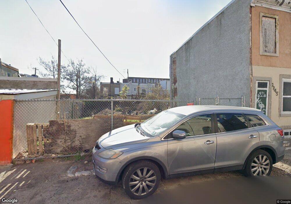
2847 Kip St Philadelphia, PA 19134
Upper Kensington NeighborhoodEstimated Value: $33,000 - $209,929
2
Beds
1
Bath
720
Sq Ft
$137/Sq Ft
Est. Value
About This Home
This home is located at 2847 Kip St, Philadelphia, PA 19134 and is currently estimated at $98,310, approximately $136 per square foot. 2847 Kip St is a home located in Philadelphia County with nearby schools including Elkin Lewis School, Thomas Alva Edison High School/Fareira Skills Center, and Pan American Academy Charter School.
Ownership History
Date
Name
Owned For
Owner Type
Purchase Details
Closed on
Mar 30, 2021
Sold by
Thomashefsky Steven J and City Of Philadelphia
Bought by
Open Air Concepts Llc
Current Estimated Value
Purchase Details
Closed on
Apr 15, 1998
Sold by
Iacono Lisa Howard and Howard Lisa A
Bought by
Shea Edward W and Shea Adella
Purchase Details
Closed on
Nov 30, 1994
Sold by
Zlatkos Anthony and Zlatkos Francine
Bought by
Thomashefsky Steven J
Create a Home Valuation Report for This Property
The Home Valuation Report is an in-depth analysis detailing your home's value as well as a comparison with similar homes in the area
Home Values in the Area
Average Home Value in this Area
Purchase History
| Date | Buyer | Sale Price | Title Company |
|---|---|---|---|
| Open Air Concepts Llc | $4,900 | None Available | |
| Shea Edward W | $43,500 | -- | |
| Thomashefsky Steven J | $5,000 | -- |
Source: Public Records
Tax History Compared to Growth
Tax History
| Year | Tax Paid | Tax Assessment Tax Assessment Total Assessment is a certain percentage of the fair market value that is determined by local assessors to be the total taxable value of land and additions on the property. | Land | Improvement |
|---|---|---|---|---|
| 2026 | $426 | $14,600 | $14,600 | -- |
| 2025 | $426 | $14,600 | $14,600 | -- |
| 2024 | $426 | $14,600 | $14,600 | -- |
| 2023 | $426 | $30,400 | $30,400 | $0 |
| 2022 | $91 | $30,400 | $30,400 | $0 |
| 2021 | $91 | $0 | $0 | $0 |
| 2020 | $91 | $6,500 | $6,500 | $0 |
| 2019 | $116 | $0 | $0 | $0 |
| 2018 | $98 | $0 | $0 | $0 |
| 2017 | $98 | $0 | $0 | $0 |
| 2016 | $98 | $0 | $0 | $0 |
| 2015 | $331 | $0 | $0 | $0 |
| 2014 | -- | $24,700 | $1,968 | $22,732 |
| 2012 | -- | $896 | $165 | $731 |
Source: Public Records
Map
Nearby Homes
- 2832 B St
- 301 E William St
- 304 E William St
- 318 E William St
- 212 E Cambria St
- 2832 Ormes St
- 2939 Ella St
- 2946 Kip St
- 2841 Rosehill St
- 2821 N Swanson St
- 2736 A St
- 2859 N Lee St
- 2734 A St
- 2939 Rutledge St
- 2922 Rutledge St
- 2965 Rutledge St
- 2910 Rutledge St
- 2921 Rutledge St
- 2927 Rutledge St
- 2954 Rutledge St