28470 River Rd Millington, MD 21651
Estimated Value: $300,000 - $710,480
4
Beds
2
Baths
1,985
Sq Ft
$252/Sq Ft
Est. Value
About This Home
This home is located at 28470 River Rd, Millington, MD 21651 and is currently estimated at $500,120, approximately $251 per square foot. 28470 River Rd is a home located in Kent County with nearby schools including Kent County Middle School and Kent County High School.
Ownership History
Date
Name
Owned For
Owner Type
Purchase Details
Closed on
Feb 19, 2020
Sold by
Owings Casey C and Owings Megan B
Bought by
Owings Casey C and Owings Megan B
Current Estimated Value
Purchase Details
Closed on
Sep 25, 2008
Sold by
Mcnutlty Michael Trustee
Bought by
Owings Casey C
Purchase Details
Closed on
Sep 24, 2008
Sold by
Mcnutlty Michael Trustee
Bought by
Owings Casey C
Purchase Details
Closed on
Apr 22, 2008
Sold by
O'Neill Joseph P
Bought by
Mcnutlty Michael Trustee
Purchase Details
Closed on
Mar 3, 2008
Sold by
O'Neill Joseph P
Bought by
Mcnutlty Michael Trustee
Create a Home Valuation Report for This Property
The Home Valuation Report is an in-depth analysis detailing your home's value as well as a comparison with similar homes in the area
Home Values in the Area
Average Home Value in this Area
Purchase History
| Date | Buyer | Sale Price | Title Company |
|---|---|---|---|
| Owings Casey C | -- | None Available | |
| Owings Casey C | $330,000 | -- | |
| Owings Casey C | $330,000 | -- | |
| Mcnutlty Michael Trustee | -- | -- | |
| Mcnutlty Michael Trustee | -- | -- |
Source: Public Records
Tax History Compared to Growth
Tax History
| Year | Tax Paid | Tax Assessment Tax Assessment Total Assessment is a certain percentage of the fair market value that is determined by local assessors to be the total taxable value of land and additions on the property. | Land | Improvement |
|---|---|---|---|---|
| 2025 | $2,775 | $239,400 | $0 | $0 |
| 2024 | $2,668 | $230,000 | $0 | $0 |
| 2023 | $2,562 | $220,600 | $129,700 | $90,900 |
| 2022 | $2,464 | $213,900 | $0 | $0 |
| 2021 | $4,791 | $207,200 | $0 | $0 |
| 2020 | $2,879 | $248,600 | $141,100 | $107,500 |
| 2019 | $2,402 | $206,500 | $99,000 | $107,500 |
| 2018 | $2,402 | $206,500 | $99,000 | $107,500 |
| 2017 | $2,422 | $208,300 | $0 | $0 |
| 2016 | -- | $208,300 | $0 | $0 |
| 2015 | $2,842 | $208,300 | $0 | $0 |
| 2014 | $2,842 | $210,200 | $0 | $0 |
Source: Public Records
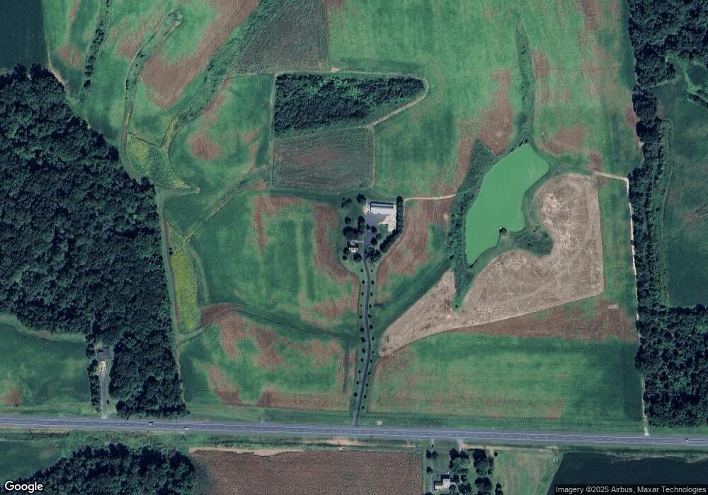
Map
Nearby Homes
- 0 Old Morgnec Rd Unit MDKE2004974
- 165 Char Nor Manor Blvd
- 134 Char Nor Manor Blvd
- 126 Char Nor Manor Blvd
- 124 Char Nor Manor Blvd
- 127 Wood Duck Ln
- 300 Hickory Ln
- 11040 Kylie Ln
- 11307 Urieville Ln
- 321 Front St
- 2010 Mcginnes Rd
- 26994 Branchtown Rd
- 11944 Augustine Herman Hwy
- 209 3rd St
- 11969 Augustine Herman Hwy
- 11960 Flour Mill St
- 26959 Branchtown Rd
- 0 Station Rd
- 492 Pear Tree Point Rd
- 26889 Morgnec Rd