285 Apache Way Tewksbury, MA 01876
Estimated Value: $465,123 - $479,000
2
Beds
2
Baths
1,274
Sq Ft
$370/Sq Ft
Est. Value
About This Home
This home is located at 285 Apache Way, Tewksbury, MA 01876 and is currently estimated at $471,781, approximately $370 per square foot. 285 Apache Way is a home located in Middlesex County with nearby schools including Heath-Brook Elementary School, John W. Wynn Middle School, and John F. Ryan Elementary School.
Ownership History
Date
Name
Owned For
Owner Type
Purchase Details
Closed on
Dec 17, 2025
Sold by
Huynh Van H and Li Yazhuo
Bought by
Li Yazhuo
Current Estimated Value
Purchase Details
Closed on
Dec 17, 2015
Sold by
Mordach Christine
Bought by
Huynh Van H and Li Yazhuo
Purchase Details
Closed on
Apr 1, 1991
Sold by
Bellissimo Frederick K and Bellissimo Dorothea
Bought by
Mordach Christine
Home Financials for this Owner
Home Financials are based on the most recent Mortgage that was taken out on this home.
Original Mortgage
$85,500
Interest Rate
9.17%
Mortgage Type
Purchase Money Mortgage
Create a Home Valuation Report for This Property
The Home Valuation Report is an in-depth analysis detailing your home's value as well as a comparison with similar homes in the area
Home Values in the Area
Average Home Value in this Area
Purchase History
| Date | Buyer | Sale Price | Title Company |
|---|---|---|---|
| Li Yazhuo | -- | -- | |
| Huynh Van H | $239,000 | -- | |
| Mordach Christine | $125,500 | -- |
Source: Public Records
Mortgage History
| Date | Status | Borrower | Loan Amount |
|---|---|---|---|
| Previous Owner | Mordach Christine | $140,000 | |
| Previous Owner | Mordach Christine | $85,500 |
Source: Public Records
Tax History
| Year | Tax Paid | Tax Assessment Tax Assessment Total Assessment is a certain percentage of the fair market value that is determined by local assessors to be the total taxable value of land and additions on the property. | Land | Improvement |
|---|---|---|---|---|
| 2025 | $5,727 | $433,200 | $0 | $433,200 |
| 2024 | $5,290 | $395,100 | $0 | $395,100 |
| 2023 | $4,874 | $345,700 | $0 | $345,700 |
| 2022 | $4,767 | $313,600 | $0 | $313,600 |
| 2021 | $4,669 | $297,000 | $0 | $297,000 |
| 2020 | $4,638 | $290,400 | $0 | $290,400 |
| 2019 | $4,168 | $263,100 | $0 | $263,100 |
| 2018 | $4,008 | $248,500 | $0 | $248,500 |
| 2017 | $3,763 | $230,700 | $0 | $230,700 |
| 2016 | $3,504 | $214,300 | $0 | $214,300 |
| 2015 | $3,138 | $191,700 | $0 | $191,700 |
| 2014 | $3,053 | $189,500 | $0 | $189,500 |
Source: Public Records
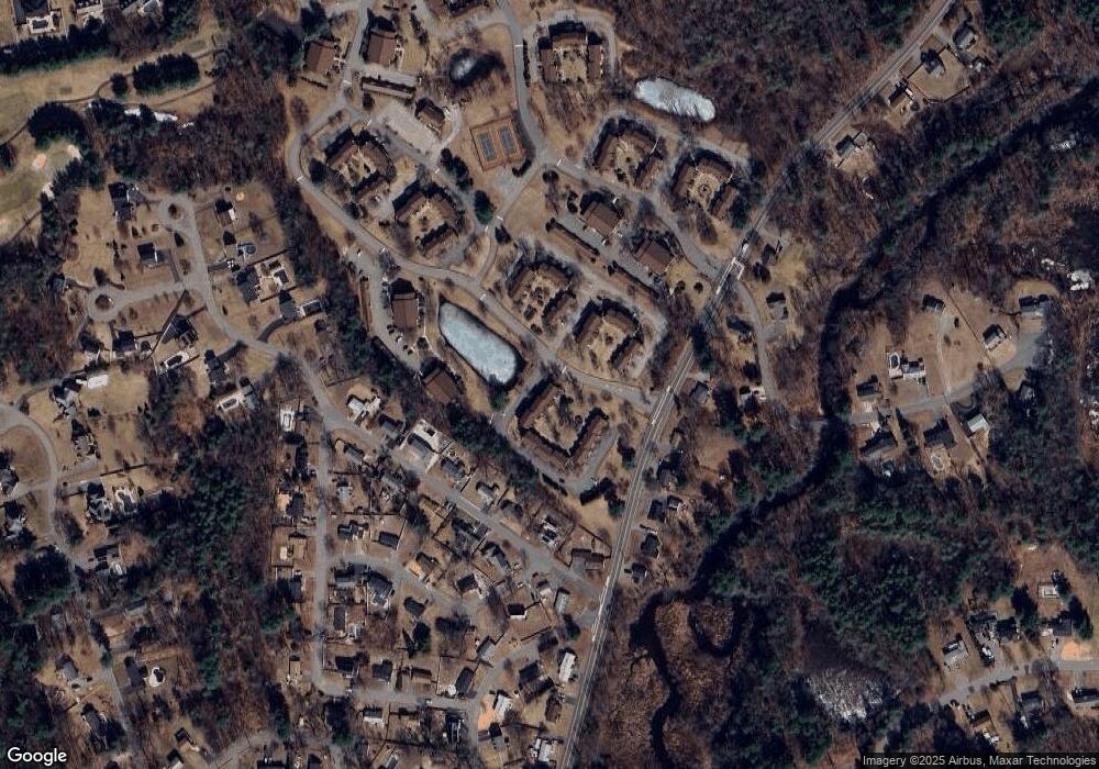
Map
Nearby Homes
- 258 Apache Way
- 47 Apache Way
- 72 Apache Way
- 41 Bridge St
- 127 Caddy Ct
- 107 Eagle Dr Unit 107
- 26 Ironwood Ln
- 1101 South St
- 16 Eagle Dr
- 640 South St
- 29 Decarolis Dr
- 18 Knollwood Rd
- 20 Kensington Way Unit 20
- 4 Villa Roma Dr
- 1418 Main St Unit 104
- 15 10th St
- 5 S Oliver St
- 1325 Main
- 6 Hillcrest Rd
- 50 Nolan Ct Unit 50
- 287 Apache Way
- 286 Apache Way
- 284 Apache Way
- 285 Apache Way Unit 285
- 284 Apache Way Unit 284
- 283 Apache Way
- 283 Apache Way Unit 283
- 288 Apache Way
- 290 Apache Way
- 294 Apache Way
- 293 Apache Way
- 292 Apache Way
- 291 Apache Way
- 289 Apache Way
- 294 Apache Way Unit 294 - 1
- 300 Apache Way
- 299 Apache Way
- 298 Apache Way
- 297 Apache Way
- 296 Apache Way
Your Personal Tour Guide
Ask me questions while you tour the home.