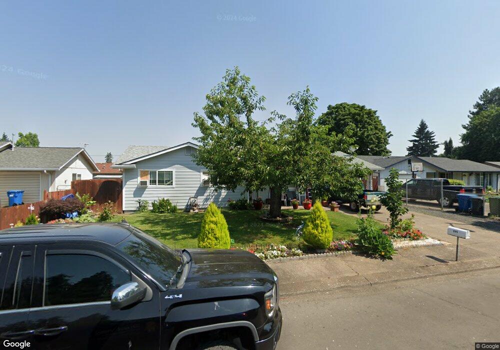
285 Brandywine Ct Woodburn, OR 97071
Estimated Value: $336,000 - $386,000
3
Beds
1
Bath
1,028
Sq Ft
$348/Sq Ft
Est. Value
About This Home
This home is located at 285 Brandywine Ct, Woodburn, OR 97071 and is currently estimated at $357,535, approximately $347 per square foot. 285 Brandywine Ct is a home located in Marion County with nearby schools including Heritage Elementary School, Valor Middle School, and Woodburn Arthur Academy.
Ownership History
Date
Name
Owned For
Owner Type
Purchase Details
Closed on
Sep 22, 2006
Sold by
Piatkoff Anton and Piatkoff Elena
Bought by
Lopez Fernando
Current Estimated Value
Home Financials for this Owner
Home Financials are based on the most recent Mortgage that was taken out on this home.
Original Mortgage
$119,000
Outstanding Balance
$70,917
Interest Rate
6.53%
Mortgage Type
Purchase Money Mortgage
Estimated Equity
$286,618
Purchase Details
Closed on
Nov 20, 1989
Sold by
Samoilov Constantin
Bought by
Piatkoff Anton and Piatkoff Elena
Create a Home Valuation Report for This Property
The Home Valuation Report is an in-depth analysis detailing your home's value as well as a comparison with similar homes in the area
Home Values in the Area
Average Home Value in this Area
Purchase History
| Date | Buyer | Sale Price | Title Company |
|---|---|---|---|
| Lopez Fernando | $170,000 | Ticor Title | |
| Piatkoff Anton | $38,000 | -- |
Source: Public Records
Mortgage History
| Date | Status | Borrower | Loan Amount |
|---|---|---|---|
| Open | Lopez Fernando | $119,000 |
Source: Public Records
Tax History Compared to Growth
Tax History
| Year | Tax Paid | Tax Assessment Tax Assessment Total Assessment is a certain percentage of the fair market value that is determined by local assessors to be the total taxable value of land and additions on the property. | Land | Improvement |
|---|---|---|---|---|
| 2024 | $2,870 | $148,460 | -- | -- |
| 2023 | $2,852 | $144,140 | $0 | $0 |
| 2022 | $2,702 | $139,950 | $0 | $0 |
| 2021 | $2,623 | $135,880 | $0 | $0 |
| 2020 | $2,545 | $131,930 | $0 | $0 |
| 2019 | $2,474 | $128,090 | $0 | $0 |
| 2018 | $2,422 | $0 | $0 | $0 |
| 2017 | $2,352 | $0 | $0 | $0 |
| 2016 | $2,282 | $0 | $0 | $0 |
| 2015 | $2,214 | $0 | $0 | $0 |
| 2014 | $2,105 | $0 | $0 | $0 |
Source: Public Records
Map
Nearby Homes
- 682 S Settlemier Ave
- 597 Barley St
- 419 Vine Ave
- 2219 Sawtelle Dr
- 1491 Foxglove St
- 2255 Sawtelle Dr
- 824 Eaden St
- 856 Eaden St
- 2403 Sawtelle Dr
- 2262 Halter Dr
- 1851 Smith Dr
- 1180 Sparrow St
- 638 Nichols Ln
- 922 Sparrow St
- 1150 Sparrow St
- Ruby Plan at Lowrie Estates
- Neuville Plan at Lowrie Estates
- Kerry Plan at Lowrie Estates
- Alpine Plan at Lowrie Estates
- 1151 Stubb Rd
- 265 Brandywine Ct
- 325 Brandywine Ct
- 985 Kelowna Ct
- 1045 Kelowna Ct
- 345 Brandywine Ct
- 290 Brandywine Ct
- 215 Brandywine Ct
- 320 Brandywine Ct
- 270 Brandywine Ct
- 965 Kelowna Ct
- 1065 Kelowna Ct
- 340 Brandywine Ct
- 210 Brandywine Ct
- 1085 Kelowna Ct
- 365 Brandywine Ct
- 240 Brandywine Ct
- 1020 Kelowna Ct
- 980 Kelowna Ct
- 1040 Kelowna Ct
- 1050 Kelowna Ct