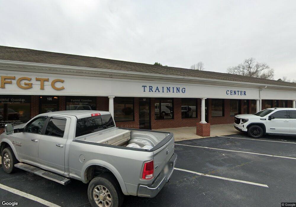
285 Carrollton St Temple, GA 30179
Estimated Value: $670,593
--
Bed
--
Bath
14,400
Sq Ft
$47/Sq Ft
Est. Value
About This Home
This home is located at 285 Carrollton St, Temple, GA 30179 and is currently estimated at $670,593, approximately $46 per square foot. 285 Carrollton St is a home located in Carroll County with nearby schools including Temple Elementary School, Temple Middle School, and Temple High School.
Ownership History
Date
Name
Owned For
Owner Type
Purchase Details
Closed on
Apr 29, 2020
Sold by
Brannon Carter Dale
Bought by
Pharm Investment Grp Llc
Current Estimated Value
Purchase Details
Closed on
Nov 20, 2013
Sold by
Bank Of North Georgia
Bought by
Brannon Carter Dale
Home Financials for this Owner
Home Financials are based on the most recent Mortgage that was taken out on this home.
Original Mortgage
$135,000
Interest Rate
4.16%
Mortgage Type
Commercial
Purchase Details
Closed on
May 1, 2007
Sold by
Not Provided
Bought by
Bank Of North Georgia
Create a Home Valuation Report for This Property
The Home Valuation Report is an in-depth analysis detailing your home's value as well as a comparison with similar homes in the area
Home Values in the Area
Average Home Value in this Area
Purchase History
| Date | Buyer | Sale Price | Title Company |
|---|---|---|---|
| Pharm Investment Grp Llc | -- | -- | |
| Cook Patrick Manning | $390,000 | -- | |
| Brannon Carter Dale | $270,000 | -- | |
| Bank Of North Georgia | $600,000 | -- |
Source: Public Records
Mortgage History
| Date | Status | Borrower | Loan Amount |
|---|---|---|---|
| Previous Owner | Brannon Carter Dale | $135,000 |
Source: Public Records
Tax History Compared to Growth
Tax History
| Year | Tax Paid | Tax Assessment Tax Assessment Total Assessment is a certain percentage of the fair market value that is determined by local assessors to be the total taxable value of land and additions on the property. | Land | Improvement |
|---|---|---|---|---|
| 2024 | $9,303 | $347,374 | $99,200 | $248,174 |
| 2023 | $9,142 | $326,844 | $99,200 | $227,644 |
| 2022 | $8,738 | $288,862 | $99,200 | $189,662 |
| 2021 | $4,849 | $293,642 | $99,200 | $194,442 |
| 2020 | $6,908 | $213,316 | $49,600 | $163,716 |
| 2019 | $5,666 | $180,000 | $61,882 | $118,118 |
| 2018 | $5,829 | $288,550 | $99,200 | $189,350 |
| 2017 | $9,454 | $288,550 | $99,200 | $189,350 |
Source: Public Records
Map
Nearby Homes
- 28 Ringer St
- 161 U S 78
- 161 E Highway 78
- 249 Carrollton St
- 119 Sourwood Ln
- 501 Azalea Way
- 501 Azalea Way Unit 49
- 503 Azalea Way Unit 50
- 513 Azalea Way Unit 55
- 515 Azalea Way Unit 56
- 503 Azalea Way
- 511 Azalea Way Unit 54
- The Joiner Plan at School House Trace
- The McCurry Plan at School House Trace
- 119 E Johnson St
- 28 Hickory Trail
- 0 Highway 113 Unit 10586141
- 105 Rocking D Rd
- 400 Sapling Ct
- 374 Daffodil Dr
- 295 Carrollton St
- 121 Briarleaf Place
- 265 Carrollton St
- 265 Carrollton St
- 112 Briarleaf Place
- 125 Briarleaf Place
- 339 Carrollton St
- 104 Briarleaf Place
- 124 Briarleaf Place
- 129 Briarleaf Place
- 282 Carrollton St
- 100 Briarleaf Place
- 268 Carrollton St
- 64 Ringer St
- 332 Carrollton St
- 107 Mason Ct
- 133 Briarleaf Place
- 132 Briarleaf Place
- 54 Ringer St
- 103 Mason Ct