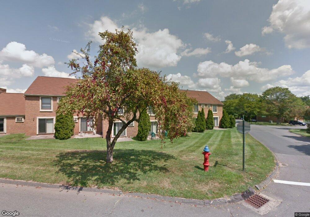
285 Conestoga St Windsor, CT 06095
Estimated Value: $184,536 - $272,000
2
Beds
2
Baths
1,060
Sq Ft
$211/Sq Ft
Est. Value
About This Home
This home is located at 285 Conestoga St, Windsor, CT 06095 and is currently estimated at $224,134, approximately $211 per square foot. 285 Conestoga St is a home located in Hartford County with nearby schools including Oliver Ellsworth School, John F. Kennedy School, and Sage Park Middle School.
Ownership History
Date
Name
Owned For
Owner Type
Purchase Details
Closed on
Mar 29, 2023
Sold by
Teg Rb Condos 2 Llc
Bought by
Teg Rb Condos 2 Llc and Teg Rivers Bend Eco Llc
Current Estimated Value
Home Financials for this Owner
Home Financials are based on the most recent Mortgage that was taken out on this home.
Original Mortgage
$61,000,000
Outstanding Balance
$59,208,904
Interest Rate
6.5%
Mortgage Type
Purchase Money Mortgage
Estimated Equity
-$58,984,770
Purchase Details
Closed on
Apr 28, 2022
Sold by
Atrium Partners Ltd
Bought by
Teg Rb Condos 2 Llc
Purchase Details
Closed on
Jun 28, 1990
Sold by
First Windsor Inc
Bought by
Mesnard Michael
Home Financials for this Owner
Home Financials are based on the most recent Mortgage that was taken out on this home.
Original Mortgage
$86,300
Interest Rate
10.27%
Mortgage Type
Purchase Money Mortgage
Create a Home Valuation Report for This Property
The Home Valuation Report is an in-depth analysis detailing your home's value as well as a comparison with similar homes in the area
Home Values in the Area
Average Home Value in this Area
Purchase History
| Date | Buyer | Sale Price | Title Company |
|---|---|---|---|
| Teg Rb Condos 2 Llc | $5,635,642 | None Available | |
| Teg Rb Condos 2 Llc | $150,000 | None Available | |
| Mesnard Michael | $96,000 | -- |
Source: Public Records
Mortgage History
| Date | Status | Borrower | Loan Amount |
|---|---|---|---|
| Open | Teg Rb Condos 2 Llc | $61,000,000 | |
| Previous Owner | Mesnard Michael | $86,300 |
Source: Public Records
Tax History
| Year | Tax Paid | Tax Assessment Tax Assessment Total Assessment is a certain percentage of the fair market value that is determined by local assessors to be the total taxable value of land and additions on the property. | Land | Improvement |
|---|---|---|---|---|
| 2025 | $2,898 | $101,850 | $0 | $101,850 |
| 2024 | $3,088 | $101,850 | $0 | $101,850 |
| 2023 | $2,124 | $63,210 | $0 | $63,210 |
| 2022 | $2,103 | $63,210 | $0 | $63,210 |
| 2021 | $2,103 | $63,210 | $0 | $63,210 |
| 2020 | $2,093 | $63,210 | $0 | $63,210 |
| 2019 | $2,047 | $63,210 | $0 | $63,210 |
| 2018 | $1,352 | $41,020 | $0 | $41,020 |
| 2017 | $1,331 | $41,020 | $0 | $41,020 |
| 2016 | $1,293 | $41,020 | $0 | $41,020 |
| 2015 | $1,268 | $41,020 | $0 | $41,020 |
| 2014 | $1,250 | $41,020 | $0 | $41,020 |
Source: Public Records
Map
Nearby Homes
- 19 Tiffany Dr
- 16 Cornfield Rd
- 9 Milo Peck Ln
- 39 Warham St
- 490 Old Day Hill Rd
- 22 Eastview Dr
- 268 High Path Rd Unit 268
- 22 Apple Tree Ln
- 211 MacKtown Rd
- 943 High Path Rd Unit 943
- 9 Brown Ave
- 136 High Path Rd
- 16 Brown Ave
- 118 High Path Rd Unit 118
- 98 High Path Rd
- 58 High Path Rd Unit 58
- 105 Trent Dr
- 66 Maple Ave
- 1333 Palisado Ave
- 1 Deanne Lynn Cir
- 283 Conestoga St
- 287 Conestoga St
- 282 Conestoga St
- 288 Conestoga St
- 281 Conestoga St
- 296 Conestoga St
- 292 Conestoga St
- 290 Conestoga St
- 286 Conestoga St
- 284 Conestoga St
- 241 Conestoga St
- 242 Conestoga St
- 291 Conestoga St
- 243 Conestoga St
- 293 Conestoga St
- 294 Conestoga St
- 244 Conestoga St
- 265 Conestoga St
- 295 Conestoga St
- 160 Conestoga St
Your Personal Tour Guide
Ask me questions while you tour the home.