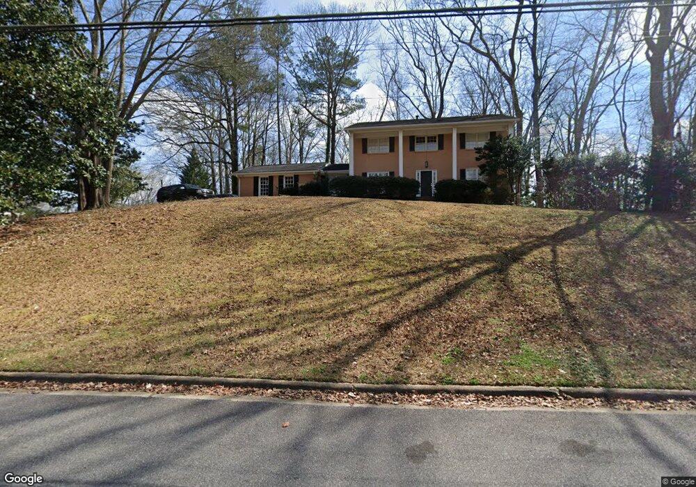
285 Devonwood Dr NE Atlanta, GA 30328
Estimated Value: $678,173 - $781,000
5
Beds
3
Baths
2,598
Sq Ft
$276/Sq Ft
Est. Value
About This Home
This home is located at 285 Devonwood Dr NE, Atlanta, GA 30328 and is currently estimated at $717,793, approximately $276 per square foot. 285 Devonwood Dr NE is a home located in Fulton County with nearby schools including Spalding Drive Elementary School, Sandy Springs Middle School, and North Springs High School.
Ownership History
Date
Name
Owned For
Owner Type
Purchase Details
Closed on
Jun 27, 2008
Sold by
Atkinson Tyrus R and Atkinson Kathy B
Bought by
Jackson Jay M and Biscan Haunani L
Current Estimated Value
Home Financials for this Owner
Home Financials are based on the most recent Mortgage that was taken out on this home.
Original Mortgage
$346,246
Outstanding Balance
$222,124
Interest Rate
5.96%
Mortgage Type
FHA
Estimated Equity
$495,669
Create a Home Valuation Report for This Property
The Home Valuation Report is an in-depth analysis detailing your home's value as well as a comparison with similar homes in the area
Home Values in the Area
Average Home Value in this Area
Purchase History
| Date | Buyer | Sale Price | Title Company |
|---|---|---|---|
| Jackson Jay M | $353,000 | -- |
Source: Public Records
Mortgage History
| Date | Status | Borrower | Loan Amount |
|---|---|---|---|
| Open | Jackson Jay M | $346,246 |
Source: Public Records
Tax History Compared to Growth
Tax History
| Year | Tax Paid | Tax Assessment Tax Assessment Total Assessment is a certain percentage of the fair market value that is determined by local assessors to be the total taxable value of land and additions on the property. | Land | Improvement |
|---|---|---|---|---|
| 2025 | $4,660 | $198,240 | $90,160 | $108,080 |
| 2023 | $4,660 | $216,000 | $48,600 | $167,400 |
| 2022 | $4,403 | $216,000 | $48,600 | $167,400 |
| 2021 | $4,234 | $148,160 | $33,360 | $114,800 |
| 2020 | $4,398 | $179,360 | $41,360 | $138,000 |
| 2019 | $4,328 | $176,160 | $40,640 | $135,520 |
| 2018 | $4,834 | $167,640 | $24,040 | $143,600 |
| 2017 | $4,078 | $132,640 | $17,520 | $115,120 |
| 2016 | $4,077 | $132,640 | $17,520 | $115,120 |
| 2015 | $3,840 | $132,640 | $17,520 | $115,120 |
| 2014 | $4,235 | $132,720 | $20,120 | $112,600 |
Source: Public Records
Map
Nearby Homes
- 229 Devonwood Dr
- 7090 Stonington Dr NE
- 6980 Roswell Rd NE Unit A8
- 6980 Roswell Rd NE Unit M1
- 6980 Roswell Rd NE Unit 6
- 6980 Roswell Rd NE Unit O2
- 6980 Roswell Rd Unit H1
- 241 Hillswick Ct NE
- 7321 Cardigan Cir
- 120 Seville Chase NW Unit 2
- 380 Thornwood Dr NE
- 6900 Roswell Rd Unit G1
- 6900 Roswell Rd Unit F6
- 6900 Roswell Rd Unit Q26
- 6900 Roswell Rd Unit F8
- 6900 Roswell Rd Unit 7N
- 305 W Spalding Dr NE
- 265 Devonwood Dr NE
- 317 Dartmoor Cir NE
- 315 W Spalding Dr NE
- 300 W Spalding Dr NE
- 300 W Spalding Dr NE
- 280 Devonwood Dr NE Unit 5
- 315 Dartmoor Cir NE
- 264 Devonwood Dr NE
- 310 W Spalding Dr NE
- 290 W Spalding Dr NE
- 311 Brixham Ct NE Unit 5
- 0 Dartmoor Cir Unit 7281944
- 0 Dartmoor Cir Unit 7107809
- 0 Dartmoor Cir Unit 8652518
- 0 Dartmoor Cir Unit 8326941
- 0 Dartmoor Cir
- 325 W Spalding Dr NE
- 320 W Spalding Dr NE
- 255 W Spalding Dr NE