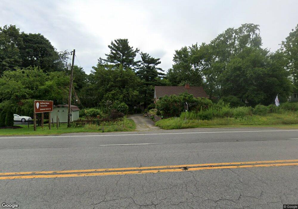
285 E Us Highway 20 Chesterton, IN 46304
Indiana Dunes NeighborhoodEstimated Value: $194,000 - $270,000
2
Beds
1
Bath
1,204
Sq Ft
$199/Sq Ft
Est. Value
About This Home
This home is located at 285 E Us Highway 20, Chesterton, IN 46304 and is currently estimated at $240,010, approximately $199 per square foot. 285 E Us Highway 20 is a home located in Porter County with nearby schools including Brummitt Elementary School, Westchester Intermediate School, and Chesterton Middle School.
Ownership History
Date
Name
Owned For
Owner Type
Purchase Details
Closed on
Dec 22, 2010
Sold by
Pendley Trent D
Bought by
Musette Lewry Trust
Current Estimated Value
Home Financials for this Owner
Home Financials are based on the most recent Mortgage that was taken out on this home.
Original Mortgage
$137,125
Outstanding Balance
$93,007
Interest Rate
4.75%
Mortgage Type
FHA
Estimated Equity
$147,003
Purchase Details
Closed on
Feb 19, 2008
Sold by
Pendley Trent D
Bought by
Pendley Trent D and Musette Lewry Trust
Home Financials for this Owner
Home Financials are based on the most recent Mortgage that was taken out on this home.
Original Mortgage
$138,040
Interest Rate
6.09%
Mortgage Type
New Conventional
Purchase Details
Closed on
Jan 19, 2006
Sold by
Pendley Trent D and Pendley Bertha E
Bought by
Musette Lewry Trust
Create a Home Valuation Report for This Property
The Home Valuation Report is an in-depth analysis detailing your home's value as well as a comparison with similar homes in the area
Home Values in the Area
Average Home Value in this Area
Purchase History
| Date | Buyer | Sale Price | Title Company |
|---|---|---|---|
| Musette Lewry Trust | -- | None Available | |
| Pendley Trent D | -- | Meridian Title Corp | |
| Pendley Trent D | -- | Metropolitan | |
| Pendley Trent D | -- | Metropolitan | |
| Musette Lewry Trust | -- | None Available |
Source: Public Records
Mortgage History
| Date | Status | Borrower | Loan Amount |
|---|---|---|---|
| Open | Pendley Trent D | $137,125 | |
| Previous Owner | Pendley Trent D | $138,040 |
Source: Public Records
Tax History Compared to Growth
Tax History
| Year | Tax Paid | Tax Assessment Tax Assessment Total Assessment is a certain percentage of the fair market value that is determined by local assessors to be the total taxable value of land and additions on the property. | Land | Improvement |
|---|---|---|---|---|
| 2024 | $1,636 | $209,800 | $37,300 | $172,500 |
| 2023 | $1,618 | $199,000 | $34,500 | $164,500 |
| 2022 | $1,478 | $188,100 | $34,500 | $153,600 |
| 2021 | $1,482 | $180,200 | $34,500 | $145,700 |
| 2020 | $1,414 | $172,300 | $30,000 | $142,300 |
| 2019 | $1,218 | $145,900 | $30,000 | $115,900 |
| 2018 | $1,120 | $139,300 | $30,000 | $109,300 |
| 2017 | $1,033 | $134,500 | $30,000 | $104,500 |
| 2016 | $1,005 | $137,400 | $31,900 | $105,500 |
| 2014 | $1,068 | $151,400 | $35,500 | $115,900 |
| 2013 | -- | $148,100 | $37,000 | $111,100 |
Source: Public Records
Map
Nearby Homes
- 425 (40 Acres) E 1400 N
- 309 E 1400 N
- 1334 N Brummitt Rd
- 0 I-94 Dr
- 1288 N Brummitt Rd
- 2375 Indian Boundary Rd
- 43 Karner Blue Ct
- 45 Karner Ct
- 250 W Lake Front Dr
- 1602 N 500 E
- 1325 Indian Boundary Rd
- 17 E Stillwater Ave
- 0 Haglund Rd Unit NRA821369
- 543 E 1500 N
- 1239 Dogwood Dr
- 399 Conestoga Dr
- 106 E Idler Ave
- 2535 State St
- 647 N Calumet Rd
- 125 E Lake Front Dr
- 1485 N Brummitt Rd
- 283 E Us Highway 20
- 1488 N Furnleigh Ln
- 1490 N Furnleigh Ln
- 1487 N Brummitt Rd
- 1492 N Furnleigh Ln
- 0 Brummitt Rd
- 1491 N Furnleigh Ln
- 284 E 1500 N
- 1493 N Furnleigh Ln
- 1473 N Brummitt Rd
- 290 E 1500 N
- 294 E 1500 N
- 1465 N Brummitt Rd
- 311 U S 20
- 1503 N 300 E
- 1507 N 300 E
- 1400 E 1360 N
- 1400 N 3rd St
- 311 E Us Highway 20