285 Eagle Pointe Dr Dahlonega, GA 30533
Estimated Value: $483,000 - $559,000
--
Bed
--
Bath
2,057
Sq Ft
$253/Sq Ft
Est. Value
About This Home
This home is located at 285 Eagle Pointe Dr, Dahlonega, GA 30533 and is currently estimated at $521,446, approximately $253 per square foot. 285 Eagle Pointe Dr is a home with nearby schools including Lumpkin County High School.
Ownership History
Date
Name
Owned For
Owner Type
Purchase Details
Closed on
Dec 18, 2015
Sold by
Pensco Trust Co Fbo /Tr
Bought by
Powers Thomas G and Powers Juanita M
Current Estimated Value
Purchase Details
Closed on
Jul 28, 2014
Sold by
Lincoln Trust Co Fbo /Tr
Bought by
Pensco Trust Co Trustee & Fbo
Purchase Details
Closed on
Aug 10, 2003
Sold by
Williams Ernest G
Bought by
Lincoln Trust Company F B O
Purchase Details
Closed on
Jan 5, 1999
Bought by
Williams Ernest G
Create a Home Valuation Report for This Property
The Home Valuation Report is an in-depth analysis detailing your home's value as well as a comparison with similar homes in the area
Home Values in the Area
Average Home Value in this Area
Purchase History
| Date | Buyer | Sale Price | Title Company |
|---|---|---|---|
| Powers Thomas G | $30,000 | -- | |
| Pensco Trust Co Trustee & Fbo | $42,978 | -- | |
| Lincoln Trust Company F B O | $90,000 | -- | |
| Williams Ernest G | $372,700 | -- |
Source: Public Records
Tax History Compared to Growth
Tax History
| Year | Tax Paid | Tax Assessment Tax Assessment Total Assessment is a certain percentage of the fair market value that is determined by local assessors to be the total taxable value of land and additions on the property. | Land | Improvement |
|---|---|---|---|---|
| 2024 | $75 | $191,568 | $14,326 | $177,242 |
| 2023 | $2 | $180,250 | $14,326 | $165,924 |
| 2022 | $3,995 | $161,350 | $14,326 | $147,024 |
| 2021 | $3,812 | $134,357 | $14,326 | $120,031 |
| 2020 | $3,724 | $131,264 | $14,326 | $116,938 |
| 2019 | $3,805 | $134,129 | $17,191 | $116,938 |
| 2018 | $3,392 | $119,555 | $17,191 | $102,364 |
| 2017 | $537 | $112,308 | $17,191 | $95,117 |
| 2016 | $359 | $17,191 | $17,191 | $0 |
| 2015 | -- | $17,191 | $17,191 | $0 |
| 2014 | -- | $17,191 | $17,191 | $0 |
| 2013 | -- | $17,191 | $17,191 | $0 |
Source: Public Records
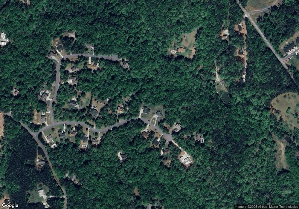
Map
Nearby Homes
- 191 Sleepy Hollow Rd
- Lot 5 Still Rd
- 251 Bearslide Hollow
- 0 Honey Tree Terrace Unit 10448792
- 0 Honey Tree Terrace Unit 7516071
- 15 Baker St
- 190 Grand Oak Ln
- 103 Rainmore Dr
- 0 Falling Pines Rd Unit 10643861
- 0 Falling Pines Rd Unit 7681028
- 3149 Auraria Rd
- 0 Rainmore Dr Unit 7620063
- 0 Rainmore Dr Unit 10570615
- 120 Rivermont Ln
- 775 Crooked Creek Dr
- 221 Laurel Cir
- 239 Castleberry Ln
- 486 Laurel Cir
- 150 Buck Run E
- 50 Loyal Dr
- 261 Eagle Pointe Dr
- 286 Eagle Pointe Dr
- 189 Eagle Pointe Dr
- 248 Eagle Pointe Dr
- 301 Eagle Pointe Dr
- 258 Aquila Way
- 306 Eagle Pointe Dr
- 2084 Ben Higgins Rd
- 307 Eagle Pointe Dr
- 140 Eagle Pointe Dr
- 0 Eagle Pointe Dr Unit 29 8330463
- 0 Eagle Pointe Dr Unit 21 8213518
- 0 Eagle Pointe Dr
- 0 Eagle Pointe Dr Unit 7329868
- 0 Eagle Pointe Dr Unit 8982851
- 0 Eagle Pointe Dr Unit 7062544
- 200 Aquila Way
- 120 Eagle Pointe Dr
- 84 Aquila Way
- 97 Eagle Pointe Dr Unit 15-17