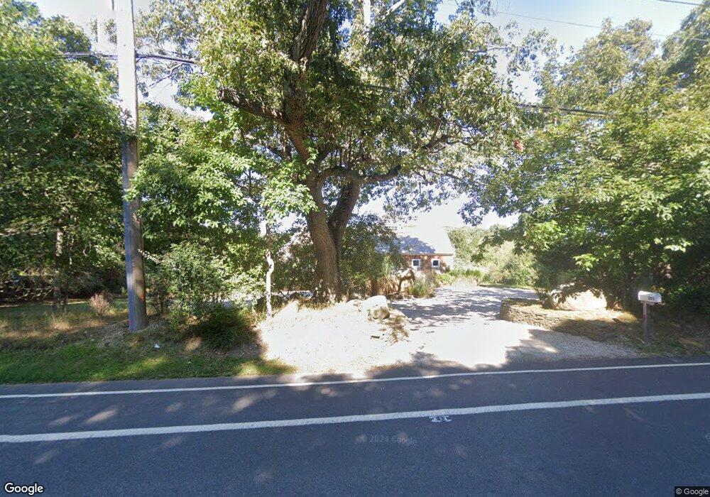
285 Ferry Rd Sag Harbor, NY 11963
Estimated Value: $1,682,863 - $2,087,000
3
Beds
2
Baths
1,268
Sq Ft
$1,496/Sq Ft
Est. Value
About This Home
This home is located at 285 Ferry Rd, Sag Harbor, NY 11963 and is currently estimated at $1,897,216, approximately $1,496 per square foot. 285 Ferry Rd is a home located in Suffolk County with nearby schools including Sag Harbor Elementary School and Pierson Middle/High School.
Ownership History
Date
Name
Owned For
Owner Type
Purchase Details
Closed on
Apr 17, 1998
Sold by
Jackson Rosenberg Susan A
Bought by
Cohen Jill
Current Estimated Value
Purchase Details
Closed on
Jun 7, 1996
Sold by
A & Z International Development Corp
Bought by
Jackson Rosenberg Susan A
Purchase Details
Closed on
Mar 2, 1995
Sold by
Yeager Alice Gates and Yeager Douglas G
Bought by
Andrea Gregory S
Create a Home Valuation Report for This Property
The Home Valuation Report is an in-depth analysis detailing your home's value as well as a comparison with similar homes in the area
Home Values in the Area
Average Home Value in this Area
Purchase History
| Date | Buyer | Sale Price | Title Company |
|---|---|---|---|
| Cohen Jill | $345,000 | Chicago Title Insurance Co | |
| Jackson Rosenberg Susan A | $265,000 | Fidelity National Title | |
| Andrea Gregory S | $40,000 | Custom Title Services Inc |
Source: Public Records
Tax History Compared to Growth
Tax History
| Year | Tax Paid | Tax Assessment Tax Assessment Total Assessment is a certain percentage of the fair market value that is determined by local assessors to be the total taxable value of land and additions on the property. | Land | Improvement |
|---|---|---|---|---|
| 2024 | $947 | $759,800 | $556,900 | $202,900 |
| 2023 | $530 | $759,800 | $556,900 | $202,900 |
| 2022 | $4,390 | $759,800 | $556,900 | $202,900 |
| 2021 | $4,390 | $759,800 | $556,900 | $202,900 |
| 2020 | $4,908 | $759,800 | $556,900 | $202,900 |
| 2019 | $4,806 | $0 | $0 | $0 |
| 2018 | -- | $651,600 | $464,100 | $187,500 |
| 2017 | $4,131 | $651,600 | $464,100 | $187,500 |
| 2016 | $4,286 | $651,600 | $464,100 | $187,500 |
| 2015 | -- | $651,600 | $464,100 | $187,500 |
| 2014 | -- | $651,600 | $464,100 | $187,500 |
Source: Public Records
Map
Nearby Homes
- 12 N Haven Way
- 26 Mashomuck Dr
- 33 Mashomuck Dr
- 3 N Haven Way
- 31 Bayberry Ln
- 27 Gardiners Path
- 8 Widow Coopers Path
- 18 Sunset Rd
- 2 Sunset Rd
- 9 Seaponack Dr
- 15 Maunakea St
- 166 Ferry Rd
- 27 Fresh Pond Rd
- 25 Fresh Pond Rd
- 24 On the Bluffs
- 11 S Harbor Dr
- 8 Fresh Pond Rd
- 4 3rd St
- 11 E Harbor Dr
- 36 Coves End Ln
- 289 Ferry Rd
- 283 Ferry Rd
- 2 Shelter Island Ave
- 1 Sheltered Way
- 280 Ferry Rd
- 293 Ferry Rd
- 3 Shelter Island Ave
- 297 Ferry Rd
- 274 Ferry Rd
- 8 Shelter Island Ave
- 8 Sunset Beach Rd
- 273 Ferry Rd Unit RT114
- 7 Shelter Island Ave
- 4 Sunset Beach Rd
- 16 Woodland Dr
- 4 Hawthorne Ave
- 12 Shelter Island Ave
- 20 Woodland Dr
- 270 Ferry Rd
- 11 Shelter Island Ave