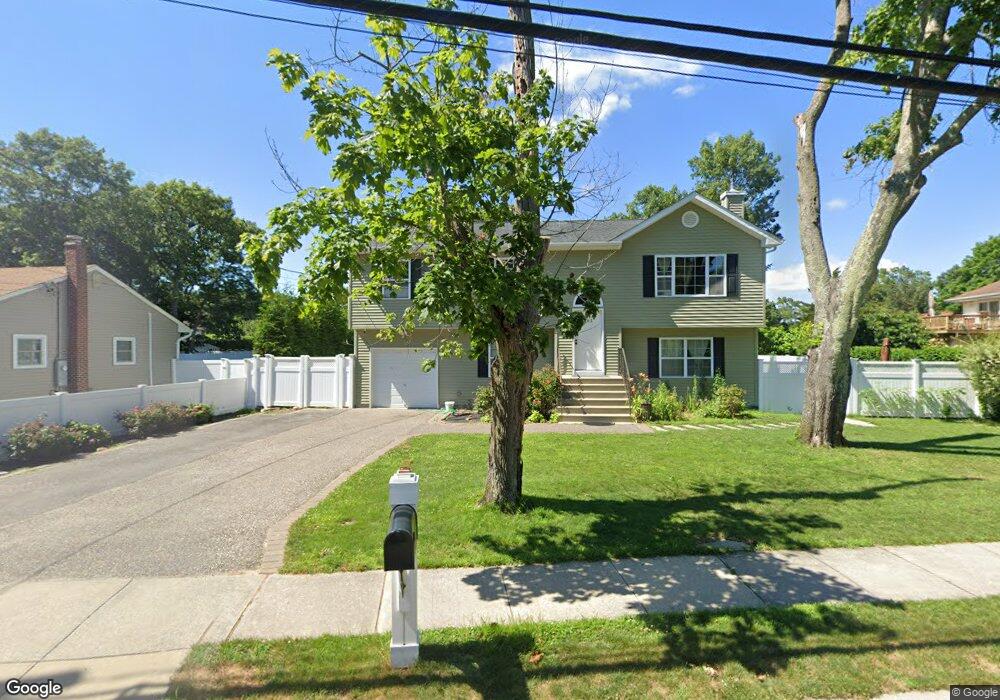
285 Furrows Rd Holbrook, NY 11741
Estimated Value: $783,000 - $818,000
4
Beds
3
Baths
2,142
Sq Ft
$373/Sq Ft
Est. Value
About This Home
This home is located at 285 Furrows Rd, Holbrook, NY 11741 and is currently estimated at $799,504, approximately $373 per square foot. 285 Furrows Rd is a home located in Suffolk County with nearby schools including Nokomis School, Seneca Middle School, and Sachem High School North.
Ownership History
Date
Name
Owned For
Owner Type
Purchase Details
Closed on
Dec 23, 2016
Sold by
Andreassi Marc and Pereira Joaquim
Bought by
Montoya Rivas Natanahel and Amaya Urrego Francy E
Current Estimated Value
Home Financials for this Owner
Home Financials are based on the most recent Mortgage that was taken out on this home.
Original Mortgage
$412,392
Outstanding Balance
$335,342
Interest Rate
3.75%
Mortgage Type
FHA
Estimated Equity
$464,162
Purchase Details
Closed on
Feb 9, 2015
Sold by
Wilk Susan R
Bought by
Andreassi Marc and Pereirai Joaquim
Create a Home Valuation Report for This Property
The Home Valuation Report is an in-depth analysis detailing your home's value as well as a comparison with similar homes in the area
Home Values in the Area
Average Home Value in this Area
Purchase History
| Date | Buyer | Sale Price | Title Company |
|---|---|---|---|
| Montoya Rivas Natanahel | $421,680 | None Available | |
| Andreassi Marc | $120,000 | None Available |
Source: Public Records
Mortgage History
| Date | Status | Borrower | Loan Amount |
|---|---|---|---|
| Open | Montoya Rivas Natanahel | $412,392 |
Source: Public Records
Tax History
| Year | Tax Paid | Tax Assessment Tax Assessment Total Assessment is a certain percentage of the fair market value that is determined by local assessors to be the total taxable value of land and additions on the property. | Land | Improvement |
|---|---|---|---|---|
| 2024 | -- | $45,000 | $12,000 | $33,000 |
| 2023 | -- | $45,000 | $12,000 | $33,000 |
| 2022 | $6,543 | $45,000 | $12,000 | $33,000 |
| 2021 | $6,543 | $45,000 | $12,000 | $33,000 |
| 2020 | $10,958 | $45,000 | $12,000 | $33,000 |
| 2019 | $10,958 | $0 | $0 | $0 |
| 2018 | -- | $45,000 | $12,000 | $33,000 |
| 2017 | $10,487 | $45,000 | $12,000 | $33,000 |
| 2016 | $2,539 | $12,000 | $12,000 | $0 |
| 2015 | -- | $28,000 | $12,000 | $16,000 |
| 2014 | -- | $28,000 | $12,000 | $16,000 |
Source: Public Records
Map
Nearby Homes
- 1663 Claas Ave
- 1514 Grundy Ave
- 100 Lexington Ave
- 1529 Carl Ave
- 22 Avenue E
- 1458 Hummel Ave
- 25 Avenue B
- 1435 Broadway Ave
- 34 Raymond Ct
- 3 Hillberry Cir
- 237 Donald Blvd
- 130 Center St
- 116B Holbrook Rd
- 469 Donald Blvd
- 429 Mollie Blvd
- 16 Hampshire Ct
- 43 Fallen Leaf Rd
- 31 Hampshire Ct
- 49 Gainsborough Rd
- 7 Pond Rd
Your Personal Tour Guide
Ask me questions while you tour the home.