Estimated Value: $318,000 - $356,000
4
Beds
3
Baths
1,498
Sq Ft
$224/Sq Ft
Est. Value
About This Home
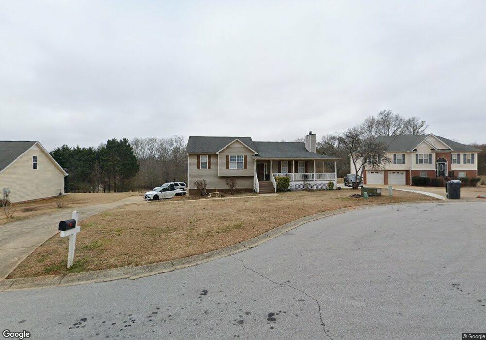
This home is located at 285 Hayes Trace Unit 13, Hiram, GA 30141 and is currently estimated at $335,893, approximately $224 per square foot. 285 Hayes Trace Unit 13 is a home located in Paulding County with nearby schools including Bessie L. Baggett Elementary School, Irma C. Austin Middle School, and Hiram High School.
Ownership History
Date
Name
Owned For
Owner Type
Purchase Details
Closed on
Jun 30, 2022
Sold by
Mitchell Robert Shaft
Bought by
Pivo Corp
Current Estimated Value
Purchase Details
Closed on
Jun 16, 2016
Sold by
Sexton Brian
Bought by
Williams Mitchell Robert Shaft and Williams Mitchell Shenita
Purchase Details
Closed on
Jun 11, 2010
Sold by
Soundview Home 2006-Wf1
Bought by
Sexton Brian M
Home Financials for this Owner
Home Financials are based on the most recent Mortgage that was taken out on this home.
Original Mortgage
$102,150
Interest Rate
4.97%
Mortgage Type
VA
Purchase Details
Closed on
Mar 2, 2010
Sold by
Roth Tammy
Bought by
Soundview Home Trust 2006-Wf1
Create a Home Valuation Report for This Property
The Home Valuation Report is an in-depth analysis detailing your home's value as well as a comparison with similar homes in the area
Home Values in the Area
Average Home Value in this Area
Purchase History
| Date | Buyer | Sale Price | Title Company |
|---|---|---|---|
| Pivo Corp | $215,000 | -- | |
| Williams Mitchell Robert Shaft | $170,000 | -- | |
| Sexton Brian M | $100,000 | -- | |
| Soundview Home Trust 2006-Wf1 | $183,961 | -- |
Source: Public Records
Mortgage History
| Date | Status | Borrower | Loan Amount |
|---|---|---|---|
| Previous Owner | Sexton Brian M | $102,150 |
Source: Public Records
Tax History Compared to Growth
Tax History
| Year | Tax Paid | Tax Assessment Tax Assessment Total Assessment is a certain percentage of the fair market value that is determined by local assessors to be the total taxable value of land and additions on the property. | Land | Improvement |
|---|---|---|---|---|
| 2024 | $3,267 | $131,328 | $12,000 | $119,328 |
| 2023 | $2,242 | $128,804 | $12,000 | $116,804 |
| 2022 | $3,075 | $119,840 | $12,000 | $107,840 |
| 2021 | $2,328 | $81,956 | $10,000 | $71,956 |
| 2020 | $2,683 | $92,172 | $10,000 | $82,172 |
| 2019 | $2,032 | $69,296 | $10,000 | $59,296 |
| 2018 | $1,525 | $52,472 | $10,000 | $42,472 |
| 2016 | $1,739 | $59,360 | $10,000 | $49,360 |
| 2015 | $1,665 | $55,960 | $10,000 | $45,960 |
| 2014 | $1,439 | $47,440 | $10,000 | $37,440 |
| 2013 | -- | $34,160 | $8,000 | $26,160 |
Source: Public Records
Map
Nearby Homes
- 285 Hayes Trace
- 265 Hayes Trace
- 295 Hayes Trace
- 297 Hayes Trace
- 20 Mallory Ct
- 40 Mallory Ct
- 270 Hayes Trace
- 290 Hayes Trace
- 296 Hayes Terrace
- 172 Richards Way
- 250 Hayes Trace
- 12 Farmers Ct
- 152 Richards Way
- 20 Farmers Ct
- 46 Mallory Ct
- 134 Richards Way
- 230 Hayes Trace
- 50 Mallory Ct
- 112 Richards Way
- 210 Hayes Trace