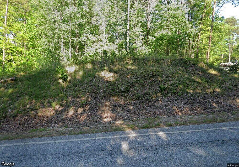
285 Highway 184 N Toccoa, GA 30577
Estimated Value: $347,000 - $391,000
3
Beds
3
Baths
2,355
Sq Ft
$157/Sq Ft
Est. Value
About This Home
This home is located at 285 Highway 184 N, Toccoa, GA 30577 and is currently estimated at $368,711, approximately $156 per square foot. 285 Highway 184 N is a home with nearby schools including Stephens County High School.
Ownership History
Date
Name
Owned For
Owner Type
Purchase Details
Closed on
Jan 25, 2017
Sold by
Vaughn E David
Bought by
Glaze V Amie
Current Estimated Value
Purchase Details
Closed on
Nov 30, 2016
Sold by
David
Bought by
Glaze V Amy
Purchase Details
Closed on
Feb 1, 1994
Bought by
Vaughn David and Vaughn Juen T
Purchase Details
Closed on
Apr 1, 1984
Bought by
<Buyer Info Not Present>
Create a Home Valuation Report for This Property
The Home Valuation Report is an in-depth analysis detailing your home's value as well as a comparison with similar homes in the area
Home Values in the Area
Average Home Value in this Area
Purchase History
| Date | Buyer | Sale Price | Title Company |
|---|---|---|---|
| Glaze V Amie | -- | -- | |
| Glaze V Amy | -- | -- | |
| Vaughn David | $19,500 | -- | |
| <Buyer Info Not Present> | $19,500 | -- |
Source: Public Records
Tax History Compared to Growth
Tax History
| Year | Tax Paid | Tax Assessment Tax Assessment Total Assessment is a certain percentage of the fair market value that is determined by local assessors to be the total taxable value of land and additions on the property. | Land | Improvement |
|---|---|---|---|---|
| 2024 | $1,960 | $99,434 | $7,568 | $91,866 |
| 2023 | $1,726 | $92,862 | $7,568 | $85,294 |
| 2022 | $1,581 | $88,000 | $7,568 | $80,432 |
| 2021 | $1,497 | $82,748 | $7,568 | $75,180 |
| 2020 | $1,510 | $82,688 | $7,568 | $75,120 |
| 2019 | $1,313 | $76,278 | $6,880 | $69,398 |
| 2018 | $1,313 | $76,278 | $6,880 | $69,398 |
| 2017 | $1,334 | $76,278 | $6,880 | $69,398 |
| 2016 | $1,382 | $78,278 | $8,880 | $69,398 |
| 2015 | $1,448 | $78,278 | $8,880 | $69,398 |
| 2014 | $1,530 | $80,079 | $8,880 | $71,199 |
| 2013 | -- | $81,315 | $9,990 | $71,325 |
Source: Public Records
Map
Nearby Homes
- 0 Highway 184 Unit 7606848
- 0 Highway 184 Unit 10547296
- 266 Cawthon Rd
- 9369 Sherwood Ct
- 571 N Currahee Ln
- 871 W Leatherwood Rd
- 939 W Leatherwood Rd
- 4 Piedmont
- 1662 Carnes Creek Rd
- 16 Terri Ln
- 184 Scott Cir
- 1387 Mize Rd
- 97 Hillside Dr
- 151 Richardson St
- 3243 Highway 184 N
- 215 Old Mize Rd
- 334 Brock Rd
- 424 Law House Rd
- 1037 S Pond St
- 1009 S Pond St
- 287 Highway 184 N
- 381 Highway 184 N
- 131 Highway 184 N
- 240 Highway 184 N
- 444 Highway 184 N
- 411 Georgia 184 Unit 1,1A
- 411 Highway 184 N Unit 1,1A
- 411 Highway 184 N
- 4212 Hwy 184
- 4212 Highway 184
- 145 Highway 184 N
- 59 Highway 184 N
- 491 Highway 184 N
- 0 Currahee Rd Unit 8180305
- 0 N Hwy 184 Unit 7199925
- 0 Highway 184 Unit 7554385
- 0 N Hwy 184 Unit 8126972
- 0 N Hwy 184 Unit 3249886
- 0 N Hwy 184 Unit 7381768
- 0 Highway 184 Unit 25 Ac 8597736
