Estimated Value: $437,625 - $610,000
2
Beds
1
Bath
1,536
Sq Ft
$332/Sq Ft
Est. Value
About This Home
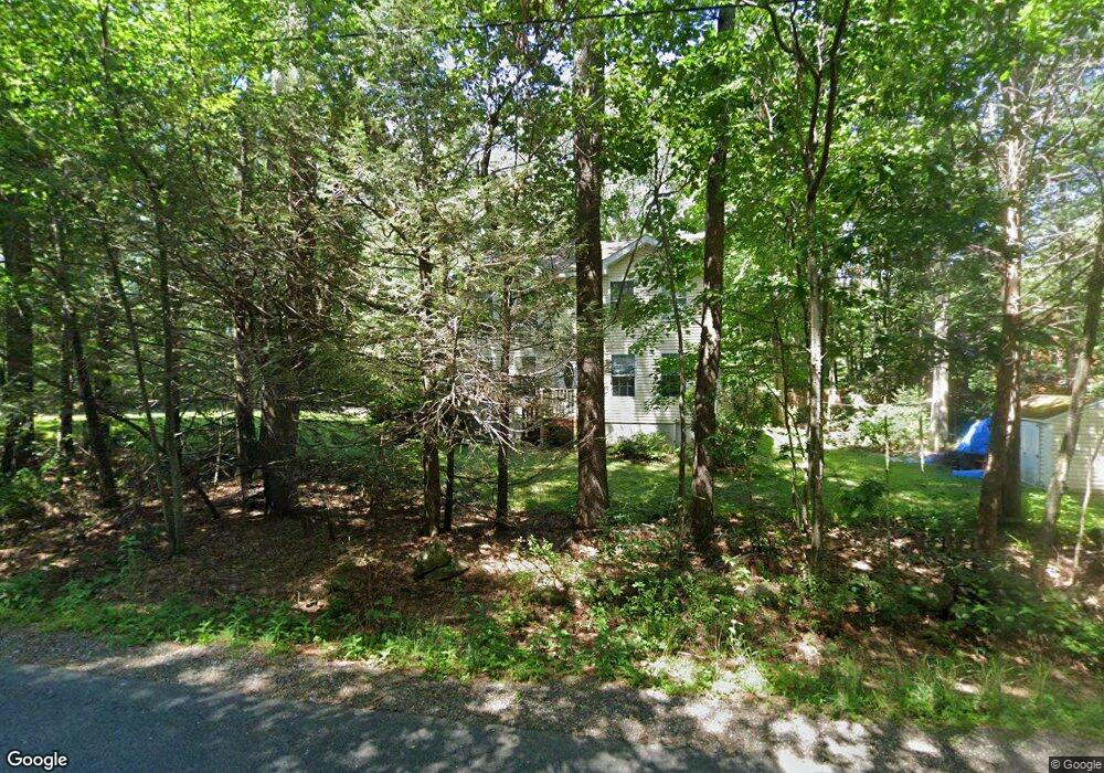
This home is located at 285 Lindsey Rd, Wells, ME 04090 and is currently estimated at $509,906, approximately $331 per square foot. 285 Lindsey Rd is a home located in York County with nearby schools including Wells Elementary School, Wells Junior High School, and Wells High School.
Ownership History
Date
Name
Owned For
Owner Type
Purchase Details
Closed on
Aug 23, 2021
Sold by
Quint Koriahn D and Doughty Koriahn I
Bought by
Quint Robert P and Quint Koriahn D
Current Estimated Value
Home Financials for this Owner
Home Financials are based on the most recent Mortgage that was taken out on this home.
Original Mortgage
$227,000
Outstanding Balance
$206,102
Interest Rate
2.8%
Mortgage Type
Purchase Money Mortgage
Estimated Equity
$303,804
Create a Home Valuation Report for This Property
The Home Valuation Report is an in-depth analysis detailing your home's value as well as a comparison with similar homes in the area
Home Values in the Area
Average Home Value in this Area
Purchase History
| Date | Buyer | Sale Price | Title Company |
|---|---|---|---|
| Quint Robert P | -- | Gateway Title |
Source: Public Records
Mortgage History
| Date | Status | Borrower | Loan Amount |
|---|---|---|---|
| Open | Quint Robert P | $227,000 |
Source: Public Records
Tax History Compared to Growth
Tax History
| Year | Tax Paid | Tax Assessment Tax Assessment Total Assessment is a certain percentage of the fair market value that is determined by local assessors to be the total taxable value of land and additions on the property. | Land | Improvement |
|---|---|---|---|---|
| 2024 | $2,248 | $369,660 | $137,310 | $232,350 |
| 2023 | $2,203 | $369,660 | $137,310 | $232,350 |
| 2022 | $1,972 | $188,570 | $62,370 | $126,200 |
| 2021 | $1,984 | $188,570 | $56,190 | $132,380 |
| 2020 | $1,976 | $188,570 | $62,370 | $126,200 |
| 2019 | $1,965 | $188,570 | $62,370 | $126,200 |
| 2018 | $1,946 | $188,570 | $62,370 | $126,200 |
| 2017 | $1,916 | $188,570 | $62,370 | $126,200 |
| 2016 | $1,897 | $188,570 | $62,370 | $126,200 |
| 2015 | $1,876 | $188,570 | $62,370 | $126,200 |
| 2013 | $1,711 | $187,610 | $62,370 | $125,240 |
Source: Public Records
Map
Nearby Homes
- 46 Berube Cir
- 22 N Berwick Rd
- 63 Baker Rd
- 46 Baker Rd
- 40 Baker Rd
- 42 Baker Rd Unit 42
- 42 Baker Rd
- 35 Barefoot Cottage Rd Unit 113
- 35 Barefoot Cottage Rd Unit 110
- 35 Barefoot Cottage Rd Unit 105
- 417 Sanford Rd
- Lot #11B Sanford Rd
- 222 Hobbs Farm Rd Unit Lot 10
- 392 Sanford Rd
- 21 Whistle Stop Cir
- 47 Whistle Stop Cir
- 89 Skyline Cir
- 0 Sanford Rd
- 23 College Dr Unit 121
- 23 College Dr Unit 16