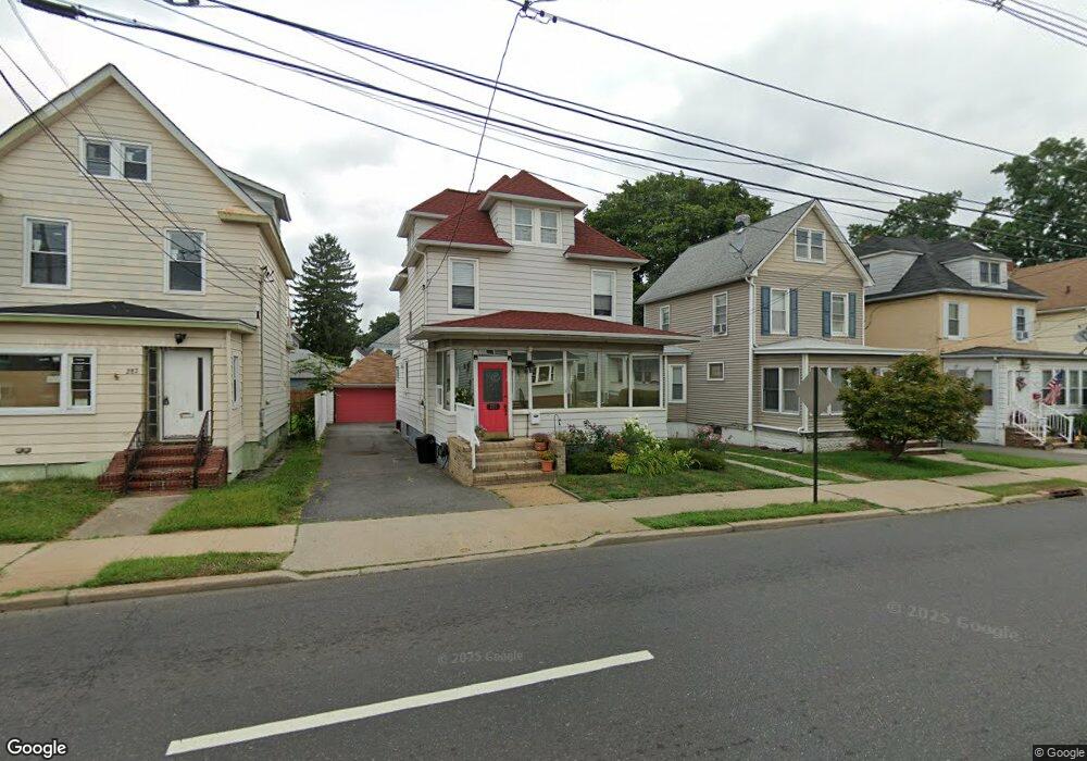
285 Main St South River, NJ 08882
Estimated Value: $410,000 - $517,000
3
Beds
3
Baths
1,668
Sq Ft
$288/Sq Ft
Est. Value
About This Home
This home is located at 285 Main St, South River, NJ 08882 and is currently estimated at $480,991, approximately $288 per square foot. 285 Main St is a home located in Middlesex County with nearby schools including South River Primary School, South River Elementary School, and South River Middle School.
Ownership History
Date
Name
Owned For
Owner Type
Purchase Details
Closed on
Nov 28, 2012
Sold by
Cisse Oumar and Henderson Cisse Ivy
Bought by
Chan Michael and Yin Yi
Current Estimated Value
Purchase Details
Closed on
Aug 18, 2003
Sold by
Zambrowski Zofia
Bought by
Cisse Oumar and Cisse Ivy Henderson
Home Financials for this Owner
Home Financials are based on the most recent Mortgage that was taken out on this home.
Original Mortgage
$253,000
Interest Rate
5.52%
Mortgage Type
FHA
Purchase Details
Closed on
Apr 12, 2002
Sold by
Szuba Waldemar
Bought by
Zambrowski Zofia
Home Financials for this Owner
Home Financials are based on the most recent Mortgage that was taken out on this home.
Original Mortgage
$95,000
Interest Rate
7.18%
Create a Home Valuation Report for This Property
The Home Valuation Report is an in-depth analysis detailing your home's value as well as a comparison with similar homes in the area
Home Values in the Area
Average Home Value in this Area
Purchase History
| Date | Buyer | Sale Price | Title Company |
|---|---|---|---|
| Chan Michael | $160,000 | Wfg National Title Insurance | |
| Cisse Oumar | $255,000 | -- | |
| Zambrowski Zofia | $86,000 | -- |
Source: Public Records
Mortgage History
| Date | Status | Borrower | Loan Amount |
|---|---|---|---|
| Previous Owner | Cisse Oumar | $253,000 | |
| Previous Owner | Zambrowski Zofia | $95,000 |
Source: Public Records
Tax History Compared to Growth
Tax History
| Year | Tax Paid | Tax Assessment Tax Assessment Total Assessment is a certain percentage of the fair market value that is determined by local assessors to be the total taxable value of land and additions on the property. | Land | Improvement |
|---|---|---|---|---|
| 2025 | $5,957 | $243,700 | $79,700 | $164,000 |
| 2024 | $5,772 | $243,700 | $79,700 | $164,000 |
| 2023 | $5,772 | $243,700 | $79,700 | $164,000 |
| 2022 | $5,667 | $243,700 | $79,700 | $164,000 |
| 2021 | $3,602 | $243,700 | $79,700 | $164,000 |
| 2020 | $5,323 | $243,700 | $79,700 | $164,000 |
| 2019 | $6,351 | $77,100 | $16,800 | $60,300 |
| 2018 | $5,948 | $77,100 | $16,800 | $60,300 |
| 2017 | $5,721 | $77,100 | $16,800 | $60,300 |
| 2016 | $5,745 | $77,100 | $16,800 | $60,300 |
| 2015 | $5,367 | $77,100 | $16,800 | $60,300 |
| 2014 | $5,488 | $77,100 | $16,800 | $60,300 |
Source: Public Records
Map
Nearby Homes
- 18 Milltown Rd
- 212 Old Bridge Turnpike
- 28 Johnson Place
- 28 Elm St
- 22 Roosevelt St
- 77 Wilcox Ave
- 86 Hillside Ave
- 11 Third St
- 166 Joseph St
- 3 Ford St
- 16 Pulawski Ave
- 13 Garwood St
- 17 Pulawski Ave
- 20 Morningside Ave
- 150 Main St
- 15 Cortland Dr
- 147 Old Bridge Turnpike
- 149 Prigmore St
- 82 Milltown Rd
- 139 Old Bridge Turnpike