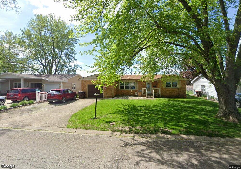
285 Mayfair Dr Lincoln, IL 62656
Estimated Value: $167,637 - $186,000
--
Bed
--
Bath
1,446
Sq Ft
$124/Sq Ft
Est. Value
About This Home
This home is located at 285 Mayfair Dr, Lincoln, IL 62656 and is currently estimated at $179,909, approximately $124 per square foot. 285 Mayfair Dr is a home located in Logan County with nearby schools including Washington-Monroe Elementary School, Adams Elementary School, and Lincoln Junior High School.
Ownership History
Date
Name
Owned For
Owner Type
Purchase Details
Closed on
Jun 18, 2024
Sold by
Fulk Michael E and Fulk Joyce M
Bought by
Fulk Michael E and Fulk Heidi
Current Estimated Value
Purchase Details
Closed on
May 6, 2002
Bought by
Fulk Michael E and Fulk Joyce M
Create a Home Valuation Report for This Property
The Home Valuation Report is an in-depth analysis detailing your home's value as well as a comparison with similar homes in the area
Home Values in the Area
Average Home Value in this Area
Purchase History
| Date | Buyer | Sale Price | Title Company |
|---|---|---|---|
| Fulk Michael E | -- | None Available | |
| Fulk Michael E | $98,000 | -- |
Source: Public Records
Tax History Compared to Growth
Tax History
| Year | Tax Paid | Tax Assessment Tax Assessment Total Assessment is a certain percentage of the fair market value that is determined by local assessors to be the total taxable value of land and additions on the property. | Land | Improvement |
|---|---|---|---|---|
| 2024 | $3,909 | $48,640 | $8,580 | $40,060 |
| 2023 | $3,691 | $45,030 | $7,940 | $37,090 |
| 2022 | $3,393 | $40,380 | $7,420 | $32,960 |
| 2021 | $3,245 | $40,400 | $7,120 | $33,280 |
| 2020 | $3,193 | $39,800 | $7,010 | $32,790 |
| 2019 | $3,114 | $39,020 | $6,870 | $32,150 |
| 2018 | $3,079 | $36,710 | $6,740 | $29,970 |
| 2017 | $3,061 | $36,710 | $6,740 | $29,970 |
| 2016 | $2,981 | $36,670 | $6,730 | $29,940 |
| 2015 | $3,070 | $37,610 | $6,670 | $30,940 |
| 2014 | $3,070 | $37,610 | $6,670 | $30,940 |
| 2013 | $3,070 | $35,700 | $6,330 | $29,370 |
| 2012 | $3,070 | $36,340 | $6,440 | $29,900 |
Source: Public Records
Map
Nearby Homes
- 145 Half Moon St
- 180 Regent St
- 102 Crestwood Dr
- 103 Crestwood Dr
- 1503 N Kankakee St
- 1019 N Mclean St
- 1208 N Kankakee St
- 1431 N Ottawa St
- 1354 Airport Rd
- 1204 N Ottawa St
- 1107 N Kankakee St
- 311 Davenport St
- 2294 Railsplitter Ave
- 2354 Railsplitter Ave
- 915 Peoria St
- 6 Meadow Ln
- 315 N Sherman St
- 1624 Delavan St
- 620 Tremont St
- 1225 Delavan St