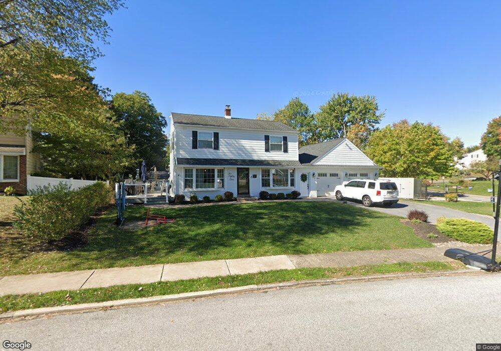
285 Meadowbrook Rd King of Prussia, PA 19406
Estimated Value: $457,000 - $535,000
4
Beds
2
Baths
1,536
Sq Ft
$316/Sq Ft
Est. Value
About This Home
This home is located at 285 Meadowbrook Rd, King of Prussia, PA 19406 and is currently estimated at $486,028, approximately $316 per square foot. 285 Meadowbrook Rd is a home located in Montgomery County with nearby schools including Candlebrook Elementary School, Upper Merion Middle School, and Upper Merion High School.
Ownership History
Date
Name
Owned For
Owner Type
Purchase Details
Closed on
Nov 4, 2010
Sold by
Longo Gilligan Paula L and Longo Rose C
Bought by
Angstadt Kristin Laudadio
Current Estimated Value
Home Financials for this Owner
Home Financials are based on the most recent Mortgage that was taken out on this home.
Original Mortgage
$246,678
Outstanding Balance
$163,003
Interest Rate
4.3%
Estimated Equity
$323,025
Create a Home Valuation Report for This Property
The Home Valuation Report is an in-depth analysis detailing your home's value as well as a comparison with similar homes in the area
Home Values in the Area
Average Home Value in this Area
Purchase History
| Date | Buyer | Sale Price | Title Company |
|---|---|---|---|
| Angstadt Kristin Laudadio | $250,000 | None Available |
Source: Public Records
Mortgage History
| Date | Status | Borrower | Loan Amount |
|---|---|---|---|
| Open | Angstadt Kristin Laudadio | $246,678 |
Source: Public Records
Tax History Compared to Growth
Tax History
| Year | Tax Paid | Tax Assessment Tax Assessment Total Assessment is a certain percentage of the fair market value that is determined by local assessors to be the total taxable value of land and additions on the property. | Land | Improvement |
|---|---|---|---|---|
| 2025 | $4,545 | $147,450 | -- | -- |
| 2024 | $4,545 | $147,450 | -- | -- |
| 2023 | $4,384 | $147,450 | $0 | $0 |
| 2022 | $4,195 | $147,450 | $0 | $0 |
| 2021 | $4,066 | $147,450 | $0 | $0 |
| 2020 | $3,885 | $147,450 | $0 | $0 |
| 2019 | $3,819 | $147,450 | $0 | $0 |
| 2018 | $3,819 | $147,450 | $0 | $0 |
| 2017 | $3,533 | $141,500 | $55,470 | $86,030 |
| 2016 | $3,477 | $141,500 | $55,470 | $86,030 |
| 2015 | $3,349 | $141,500 | $55,470 | $86,030 |
| 2014 | $3,349 | $141,500 | $55,470 | $86,030 |
Source: Public Records
Map
Nearby Homes
- 227 Crossfield Rd
- 391 Prince Frederick St
- 245 Chapel Ln Unit 80B
- 251 Chapel Ln Unit 83B
- 243 Chapel Ln Unit 79A
- 108 Anderson Rd
- 407 Chestnut Way
- 612 Brewster Alley Unit 74
- 413 Brandywine Ln
- 112 Ivy Ln
- 313 Aspen Way Unit HS 164- BRENTFORD
- 104 Tyler Rd
- 315 Aspen Way Unit HS 163- CARISBROOKE
- 315 Aspen Way
- 319 Aspen Way
- 422 Bluebuff Rd
- Avonwood Elite Plan at Stonebrook at Upper Merion - Townes Collection
- Penwyn Elite Plan at Stonebrook at Upper Merion - Townes Collection
- Brentford Plan at Stonebrook at Upper Merion - Townes Collection
- Lanfair Plan at Stonebrook at Upper Merion - Townes Collection
- 281 Meadowbrook Rd
- 221 Crossfield Rd
- 277 Meadowbrook Rd
- 280 Meadowbrook Rd
- 217 Pheasant Rd
- 206 Crossfield Rd
- 273 Meadowbrook Rd
- 161 Crossfield Rd
- 213 Pheasant Rd
- 272 Meadowbrook Rd
- 233 Crossfield Rd
- 269 Meadowbrook Rd
- 158 Crossfield Rd
- 220 Pheasant Rd
- 209 Pheasant Rd
- 268 Meadowbrook Rd
- 228 Crossfield Rd
- 277 Larkspur Ln
- 237 Crossfield Rd
- 271 Larkspur Ln