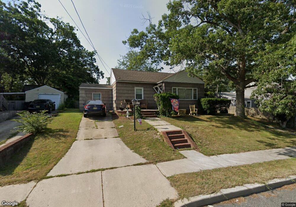
285 N New Rd Absecon, NJ 08201
Estimated Value: $268,000 - $306,000
Studio
--
Bath
1,272
Sq Ft
$228/Sq Ft
Est. Value
About This Home
This home is located at 285 N New Rd, Absecon, NJ 08201 and is currently estimated at $289,547, approximately $227 per square foot. 285 N New Rd is a home located in Atlantic County with nearby schools including H. Ashton Marsh Elementary School, Emma C. Attales Middle School, and Assumption Regional Catholic School.
Ownership History
Date
Name
Owned For
Owner Type
Purchase Details
Closed on
Apr 12, 2021
Sold by
Atlantic City Real Estate Llc and 32 South Tennessee Llc
Bought by
Rockfield Investment Group Llc
Current Estimated Value
Purchase Details
Closed on
Nov 18, 1988
Sold by
Anderson Bruce A and Anderson Eileen C
Bought by
Pendlebury Samuel R and Pendlebury Drusilla N
Create a Home Valuation Report for This Property
The Home Valuation Report is an in-depth analysis detailing your home's value as well as a comparison with similar homes in the area
Home Values in the Area
Average Home Value in this Area
Purchase History
| Date | Buyer | Sale Price | Title Company |
|---|---|---|---|
| Rockfield Investment Group Llc | $170,000 | Cape Atlantic Title | |
| Pendlebury Samuel R | $77,500 | -- |
Source: Public Records
Tax History
| Year | Tax Paid | Tax Assessment Tax Assessment Total Assessment is a certain percentage of the fair market value that is determined by local assessors to be the total taxable value of land and additions on the property. | Land | Improvement |
|---|---|---|---|---|
| 2025 | $4,791 | $143,200 | $76,800 | $66,400 |
| 2024 | $4,791 | $143,200 | $76,800 | $66,400 |
| 2023 | $4,734 | $143,200 | $76,800 | $66,400 |
| 2022 | $4,734 | $143,200 | $76,800 | $66,400 |
| 2021 | $4,720 | $143,200 | $76,800 | $66,400 |
| 2020 | $4,728 | $143,200 | $76,800 | $66,400 |
| 2019 | $4,694 | $143,200 | $76,800 | $66,400 |
| 2018 | $4,714 | $143,200 | $76,800 | $66,400 |
| 2017 | $4,680 | $143,200 | $76,800 | $66,400 |
| 2016 | $4,548 | $143,200 | $76,800 | $66,400 |
| 2015 | $4,489 | $143,200 | $76,800 | $66,400 |
| 2014 | $4,428 | $143,200 | $76,800 | $66,400 |
Source: Public Records
Map
Nearby Homes
- 112 Woodcrest Ave
- 161 E Wyoming Ave
- 107 W Church St
- 194 N Shore Rd
- 175 New Jersey Ave
- 130 Crestview Ave
- 172 E Faunce Landing Rd
- 614 Ohio Ave
- 130 Davis Ave
- 47 E Woodland Ave Unit C47
- 105 Hillside Ave
- 90 E Woodland Ave Unit E90
- 123 Bayview Dr
- 615 Woodland Ave
- 14 Kesler Ave
- 655 Weilers Ln
- 623 E Biscayne Ave
- 4 E Curran Dr
- 10 E Curran Dr
- 542 S Pitney Rd
Your Personal Tour Guide
Ask me questions while you tour the home.