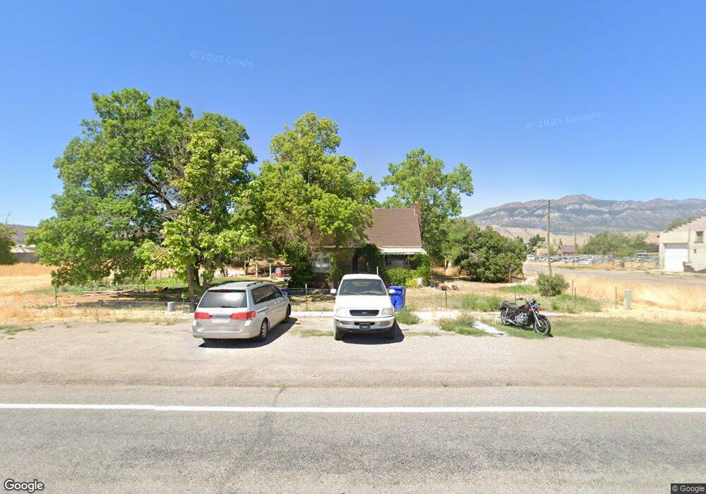
285 N State St Scipio, UT 84656
Estimated Value: $259,000 - $327,000
Studio
--
Bath
--
Sq Ft
1.04
Acres
About This Home
This home is located at 285 N State St, Scipio, UT 84656 and is currently estimated at $281,806. 285 N State St is a home.
Ownership History
Date
Name
Owned For
Owner Type
Purchase Details
Closed on
Feb 24, 2025
Sold by
Mackay Hunter Jacob
Bought by
Mackay Hunter Jacob and Mackay Rebekah Farley
Current Estimated Value
Home Financials for this Owner
Home Financials are based on the most recent Mortgage that was taken out on this home.
Original Mortgage
$250,871
Outstanding Balance
$249,169
Interest Rate
6.93%
Mortgage Type
FHA
Estimated Equity
$32,637
Purchase Details
Closed on
Nov 15, 2024
Sold by
Parsons Linda Louise
Bought by
Kahn Lynda Ann
Create a Home Valuation Report for This Property
The Home Valuation Report is an in-depth analysis detailing your home's value as well as a comparison with similar homes in the area
Purchase History
| Date | Buyer | Sale Price | Title Company |
|---|---|---|---|
| Mackay Hunter Jacob | -- | Highland Title | |
| Mackay Hunter Jacob | -- | Highland Title | |
| Mackay Hunter Jacob | -- | Inwest Title | |
| Mackay Hunter Jacob | -- | Inwest Title | |
| Kahn Lynda Ann | -- | Gt Title Services | |
| Kahn Lynda Ann | -- | Gt Title Services |
Source: Public Records
Mortgage History
| Date | Status | Borrower | Loan Amount |
|---|---|---|---|
| Open | Mackay Hunter Jacob | $250,871 | |
| Closed | Mackay Hunter Jacob | $250,871 |
Source: Public Records
Tax History
| Year | Tax Paid | Tax Assessment Tax Assessment Total Assessment is a certain percentage of the fair market value that is determined by local assessors to be the total taxable value of land and additions on the property. | Land | Improvement |
|---|---|---|---|---|
| 2025 | $794 | $135,867 | $29,675 | $106,192 |
| 2024 | $794 | $129,216 | $26,859 | $102,357 |
| 2023 | $1,182 | $129,216 | $26,859 | $102,357 |
| 2022 | $14 | $92,190 | $26,858 | $65,332 |
| 2021 | $10 | $77,666 | $19,895 | $57,771 |
| 2020 | $9 | $71,806 | $17,300 | $54,506 |
| 2019 | $744 | $66,274 | $17,300 | $48,974 |
| 2018 | $9 | $63,242 | $17,300 | $45,942 |
| 2017 | $9 | $63,242 | $17,300 | $45,942 |
| 2016 | $11 | $51,469 | $15,266 | $36,203 |
| 2015 | $11 | $51,469 | $15,266 | $36,203 |
| 2014 | -- | $49,478 | $13,275 | $36,203 |
| 2013 | -- | $49,478 | $13,275 | $36,203 |
Source: Public Records
Map
Nearby Homes
- 7 N 200 W
- 40 S State St
- 2000 N 500 W
- 9155 Red Canyon Rd Unit 15
- 13051 Red Canyon Rd Unit 3
- 9160 Red Canyon Rd Unit 5
- 700 W 1100 S
- Mecham Rd
- 575 N Deer Meadow Dr
- 370 S Main St
- 405 S 100 East St Unit 4
- 400 S 100 East St Unit 5
- Parcel 4609 4609x1 4609x2
- 66 W 100 S
- 117 E 300 S
- 36 W 100 S
- 80 N 400 W
- 340 E 300 S
- 805 N Oak Meadow Dr
- 35 N 270 E
Your Personal Tour Guide
Ask me questions while you tour the home.