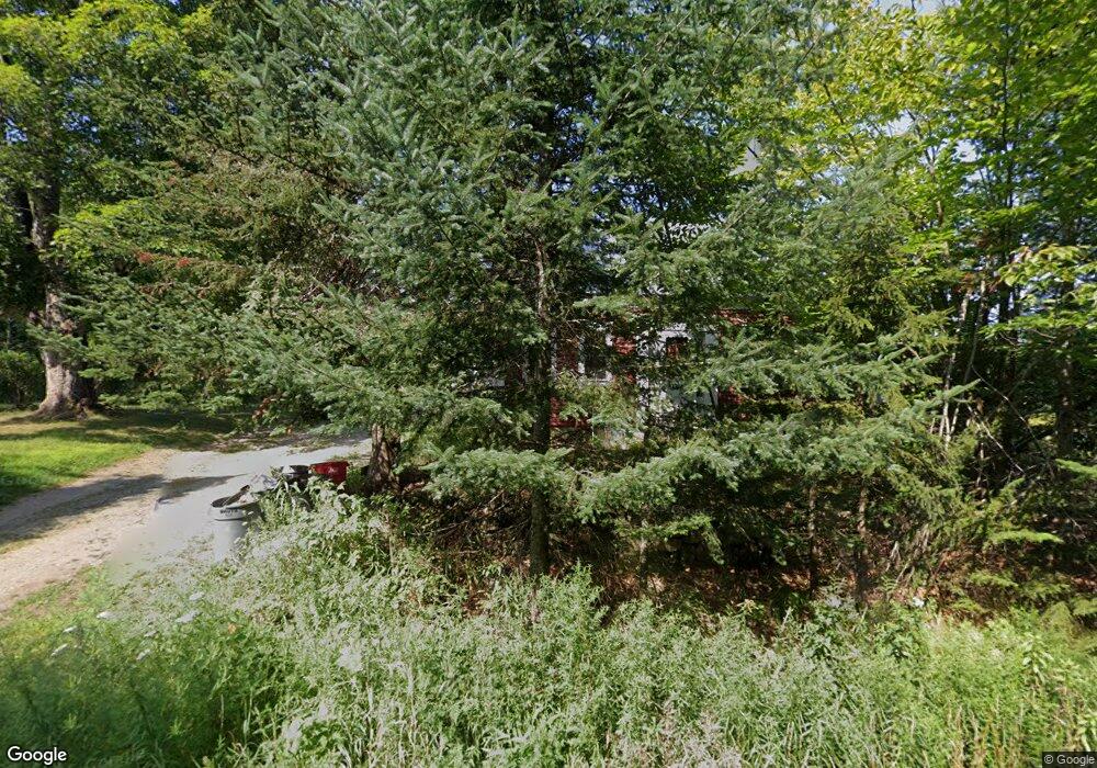
285 North Rd Parsonsfield, ME 04047
Estimated Value: $178,911 - $367,000
--
Bed
--
Bath
720
Sq Ft
$383/Sq Ft
Est. Value
About This Home
This home is located at 285 North Rd, Parsonsfield, ME 04047 and is currently estimated at $275,478, approximately $382 per square foot. 285 North Rd is a home.
Ownership History
Date
Name
Owned For
Owner Type
Purchase Details
Closed on
Sep 15, 2022
Sold by
Weisenbach Sharon A and Weisenbach David B
Bought by
Bath Caroline J and Bertrand Robert A
Current Estimated Value
Purchase Details
Closed on
Aug 24, 2007
Sold by
Adinolfi Salvatore
Bought by
Adinolfi Caroline J
Home Financials for this Owner
Home Financials are based on the most recent Mortgage that was taken out on this home.
Original Mortgage
$109,700
Interest Rate
6.78%
Mortgage Type
Commercial
Create a Home Valuation Report for This Property
The Home Valuation Report is an in-depth analysis detailing your home's value as well as a comparison with similar homes in the area
Home Values in the Area
Average Home Value in this Area
Purchase History
| Date | Buyer | Sale Price | Title Company |
|---|---|---|---|
| Bath Caroline J | $60,000 | None Available | |
| Adinolfi Caroline J | -- | -- |
Source: Public Records
Mortgage History
| Date | Status | Borrower | Loan Amount |
|---|---|---|---|
| Previous Owner | Adinolfi Caroline J | $109,700 |
Source: Public Records
Tax History Compared to Growth
Tax History
| Year | Tax Paid | Tax Assessment Tax Assessment Total Assessment is a certain percentage of the fair market value that is determined by local assessors to be the total taxable value of land and additions on the property. | Land | Improvement |
|---|---|---|---|---|
| 2024 | $1,855 | $110,401 | $56,500 | $53,901 |
| 2023 | $1,788 | $110,401 | $56,500 | $53,901 |
| 2022 | $1,711 | $110,401 | $56,500 | $53,901 |
| 2021 | $1,706 | $110,401 | $56,500 | $53,901 |
| 2020 | $1,673 | $110,401 | $56,500 | $53,901 |
| 2019 | $2,305 | $110,401 | $56,500 | $53,901 |
| 2017 | $1,645 | $110,401 | $56,500 | $53,901 |
| 2016 | $1,645 | $110,401 | $56,500 | $53,901 |
| 2015 | $1,656 | $110,401 | $56,500 | $53,901 |
| 2013 | $1,612 | $110,401 | $56,500 | $53,901 |
Source: Public Records
Map
Nearby Homes
- 0 S River Ln Unit 1641807
- R3-32 Ossipee Trail
- 196 Chase Rd
- 62 Eastman Hill Rd
- 00 Pratt Rd
- 1108 Ossipee Trail
- 206 Gilman Rd
- 8 Pennie Ln
- 185 Huntress Bridge Rd
- 122 Ossipee Trail
- 11 Penny Ln
- 187 Huntress Bridge Rd
- Lot #00 North Rd
- Lot# 01 North Rd
- Lot #02 North Rd
- 761 Pendexter Rd
- 32 Rufus Mountain Rd
- 12 Main St
- 32 Summer St
- 248 Spec Pond Rd
- 284 North Rd
- 291 North Rd
- 0 Freedom Road Lot 9 5a Unit 1073333
- 0 Freedom Road Lot 9 5b Unit 1073355
- 0 Freedom Road Lot 9 5 Unit 1072045
- 267 North Rd
- 313 North Rd
- 321 North Rd
- 326 North Rd
- 339 North Rd
- 338 North Rd
- 222 North Rd
- 199 North Rd
- Lot 1 North Rd
- 208 North Rd
- 196 North Rd
- 353 North Rd
- 193 North Rd
- 191 North Rd
- 176 North Rd