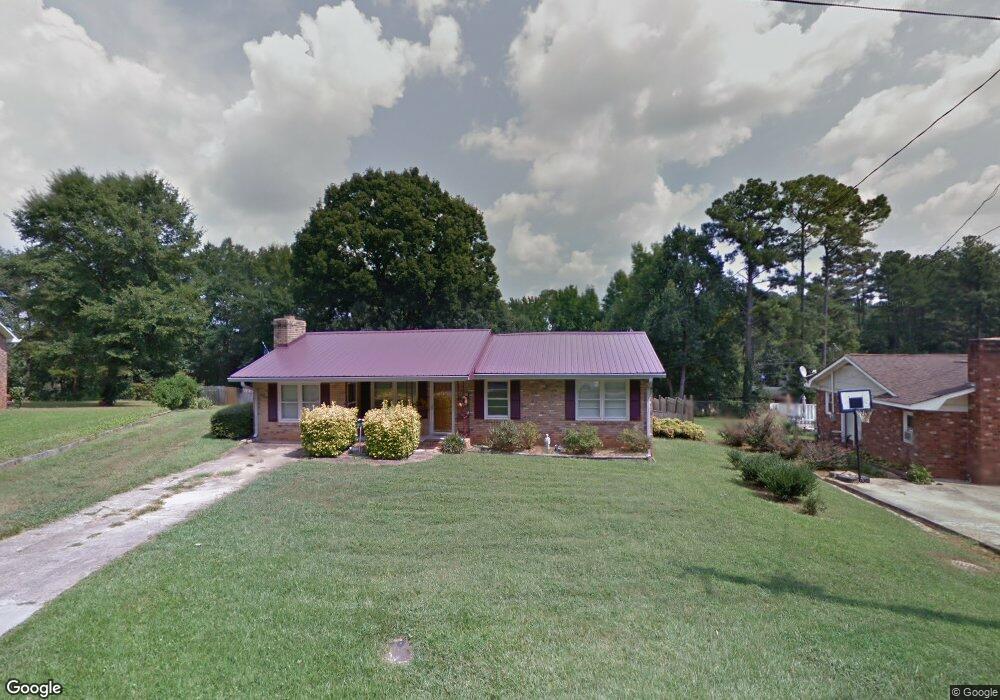
285 Orchard Cir Commerce, GA 30529
Estimated Value: $207,000 - $257,000
Studio
2
Baths
1,298
Sq Ft
$185/Sq Ft
Est. Value
About This Home
This home is located at 285 Orchard Cir, Commerce, GA 30529 and is currently estimated at $240,322, approximately $185 per square foot. 285 Orchard Cir is a home located in Jackson County with nearby schools including Commerce Primary School, Commerce Elementary School, and Commerce Middle School.
Ownership History
Date
Name
Owned For
Owner Type
Purchase Details
Closed on
Oct 18, 2021
Sold by
Mattox Barbara W
Bought by
Mattox James R
Current Estimated Value
Purchase Details
Closed on
Sep 1, 2015
Sold by
Mattox James Rayford
Bought by
Mattox Barbara W
Purchase Details
Closed on
Feb 27, 2001
Sold by
Motes Beth W
Bought by
Mattox James R
Purchase Details
Closed on
Aug 13, 1997
Bought by
Motes Beth W
Create a Home Valuation Report for This Property
The Home Valuation Report is an in-depth analysis detailing your home's value as well as a comparison with similar homes in the area
Home Values in the Area
Average Home Value in this Area
Purchase History
| Date | Buyer | Sale Price | Title Company |
|---|---|---|---|
| Mattox James R | $192,000 | -- | |
| Mattox Barbara W | -- | -- | |
| Mattox James R | -- | -- | |
| Motes Beth W | -- | -- |
Source: Public Records
Tax History
| Year | Tax Paid | Tax Assessment Tax Assessment Total Assessment is a certain percentage of the fair market value that is determined by local assessors to be the total taxable value of land and additions on the property. | Land | Improvement |
|---|---|---|---|---|
| 2024 | $1,635 | $61,720 | $18,000 | $43,720 |
| 2023 | $1,704 | $52,560 | $14,000 | $38,560 |
| 2022 | $1,328 | $40,960 | $10,000 | $30,960 |
| 2021 | $420 | $34,960 | $4,000 | $30,960 |
| 2020 | $1,063 | $29,920 | $4,000 | $25,920 |
| 2019 | $1,078 | $29,920 | $4,000 | $25,920 |
| 2018 | $1,032 | $28,920 | $4,000 | $24,920 |
| 2017 | $1,040 | $28,637 | $5,000 | $23,637 |
| 2016 | $1,045 | $28,637 | $5,000 | $23,637 |
| 2015 | $1,069 | $28,637 | $5,000 | $23,637 |
| 2014 | $784 | $20,992 | $5,000 | $15,992 |
| 2013 | -- | $20,077 | $5,000 | $15,077 |
Source: Public Records
Map
Nearby Homes
- 191 Orchard Cir
- 245 Hospital Rd
- 321 Pine Ave
- 83 Ridgeway Dr
- 25 Beckett Way
- 0 Ridgeway St
- 177 Bolton Dr
- 51 Pine Ave
- 44 Troy St
- 2140 N Broad St
- 178 Cole Court Dr
- 304 Hill St
- 31 Coles Court Dr
- 97 Kensington Ct
- 382 Arlington Ln
- 8569 Jefferson Rd
- 196 Sage St Homesite 30
- 47
- 103 Sherwood Dr Lot 16 Dr
- 207 Sage St Lot 35 Dr
- 275 Orchard Cir
- 297 Orchard Cir
- 0 Orchard Dr Unit 7568716
- 275 Orchard Dr
- 261 Orchard Dr
- 289 Orchard Dr
- 128 Paula St
- 249 Orchard Dr
- 260 Orchard Cir
- 98 Paula St
- 140 Paula St
- 255 Orchard Cir
- 314 Orchard Cir
- 86 Paula St Unit 13
- 86 Paula St
- 239 Orchard Dr
- 70 Paula St
- 274 Orchard Dr
- 239 Orchard Cir
- 204 Orchard Cir
Your Personal Tour Guide
Ask me questions while you tour the home.