Estimated Value: $257,000 - $363,000
--
Bed
--
Bath
2,352
Sq Ft
$130/Sq Ft
Est. Value
About This Home
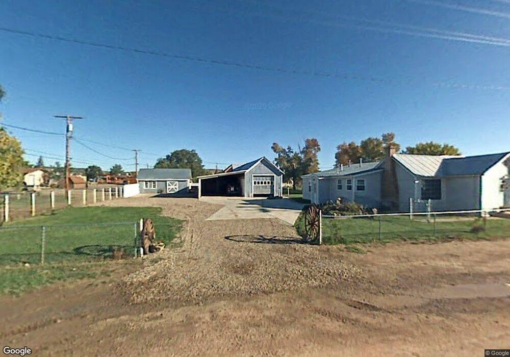
This home is located at 285 Osborne St, Baggs, WY 82321 and is currently estimated at $305,542, approximately $129 per square foot. 285 Osborne St is a home with nearby schools including Little Snake River Valley School.
Ownership History
Date
Name
Owned For
Owner Type
Purchase Details
Closed on
Jul 12, 2006
Sold by
Holt Kacy R
Bought by
Mckee Ned R and Swezey Theresa C
Current Estimated Value
Home Financials for this Owner
Home Financials are based on the most recent Mortgage that was taken out on this home.
Original Mortgage
$143,000
Outstanding Balance
$84,989
Interest Rate
6.67%
Mortgage Type
New Conventional
Estimated Equity
$220,553
Purchase Details
Closed on
Aug 24, 2005
Sold by
Jensen Casey and Jensen Heidi
Bought by
Holt Kacy R
Home Financials for this Owner
Home Financials are based on the most recent Mortgage that was taken out on this home.
Original Mortgage
$103,200
Interest Rate
5.78%
Mortgage Type
New Conventional
Create a Home Valuation Report for This Property
The Home Valuation Report is an in-depth analysis detailing your home's value as well as a comparison with similar homes in the area
Home Values in the Area
Average Home Value in this Area
Purchase History
| Date | Buyer | Sale Price | Title Company |
|---|---|---|---|
| Mckee Ned R | -- | None Available | |
| Holt Kacy R | -- | None Available |
Source: Public Records
Mortgage History
| Date | Status | Borrower | Loan Amount |
|---|---|---|---|
| Open | Mckee Ned R | $143,000 | |
| Previous Owner | Holt Kacy R | $103,200 |
Source: Public Records
Tax History Compared to Growth
Tax History
| Year | Tax Paid | Tax Assessment Tax Assessment Total Assessment is a certain percentage of the fair market value that is determined by local assessors to be the total taxable value of land and additions on the property. | Land | Improvement |
|---|---|---|---|---|
| 2025 | $1,925 | $13,834 | $1,516 | $12,318 |
| 2024 | $1,925 | $24,271 | $2,915 | $21,356 |
| 2023 | $1,927 | $24,303 | $2,915 | $21,388 |
| 2022 | $1,794 | $22,336 | $2,370 | $19,966 |
| 2021 | $1,794 | $21,410 | $2,370 | $19,040 |
| 2020 | $1,675 | $63,690 | $7,110 | $56,580 |
| 2019 | $1,705 | $21,928 | $2,370 | $19,558 |
| 2018 | $1,456 | $18,609 | $2,370 | $16,239 |
| 2017 | $1,544 | $19,755 | $2,363 | $17,392 |
| 2016 | $1,489 | $19,176 | $2,363 | $16,813 |
| 2015 | -- | $19,188 | $2,363 | $16,825 |
| 2014 | -- | $18,516 | $2,363 | $16,153 |
Source: Public Records
Map
Nearby Homes
- 00 Highway 789
- 3 Cowpoke Rd
- 8 Battle Cir
- 11388 Cr 101
- 20347 County Road 3
- 191 Boulder Dr
- 889 Granite Rd
- 242 Boulder Dr
- 638 Little Willow Rd
- 6919 County Road 1
- 101 Boulder Bypass
- 189 Boulder Bypass
- 277 Boulder Bypass
- 2175 Boulder Dr
- 8316 Boulder Dr
- TBD Boulder Drive Lot 397
- 1901 Boulder Dr
- 2004 Boulder Drive Lot 396
- 6391 Moffat County Road 1
- Tbd Cr 82
- 268 E Highway 70
- 270 North St
- 260 North St
- 290 W Osborne St
- 95 S Penland St
- 0 Lower Four Mile Ranch Unit 57542
- 20 S Penland St
- 370 S Penland St
- 45 S Miles St
- 131 N Miles St
- 91 S Miles St
- 145 Magar St
- 210 Penland St
- 120 N Penland St
- 250 S Miles St
- 101 North St
- 175 N Miles St
- 191 N Miles St
- 140 Penland St
- 90 N Miles St