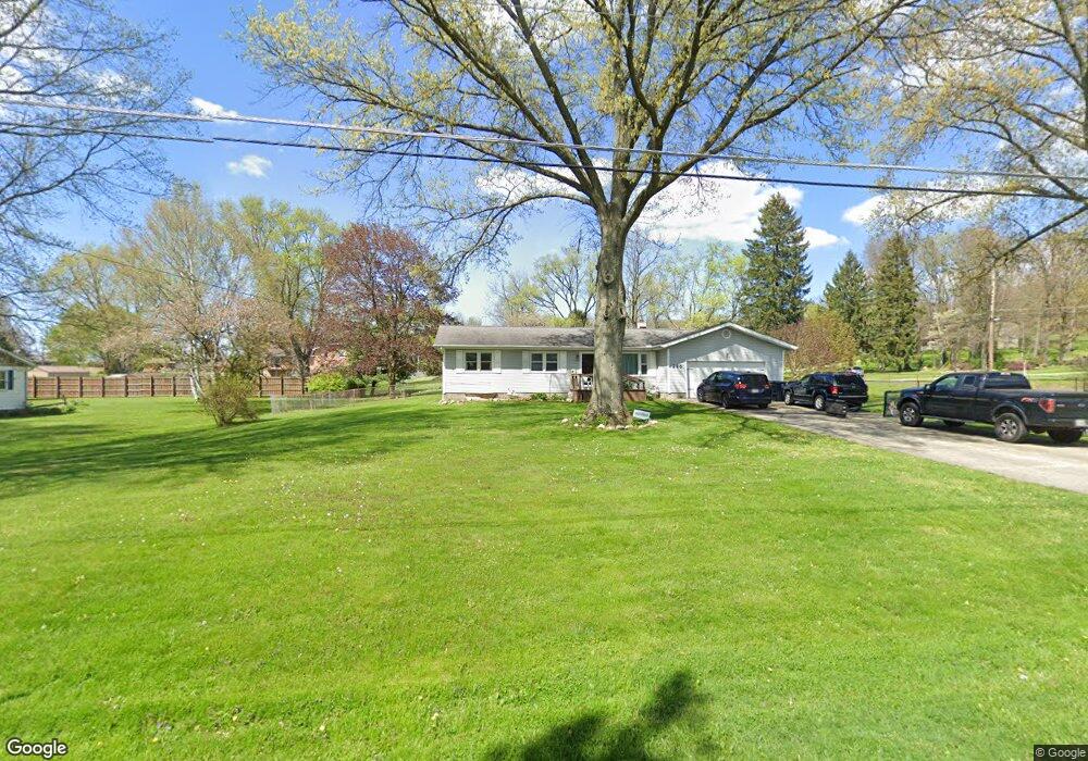
285 Pheasant Dr Mogadore, OH 44260
Estimated Value: $240,839 - $268,000
3
Beds
2
Baths
1,296
Sq Ft
$195/Sq Ft
Est. Value
About This Home
This home is located at 285 Pheasant Dr, Mogadore, OH 44260 and is currently estimated at $252,960, approximately $195 per square foot. 285 Pheasant Dr is a home located in Portage County with nearby schools including O.H. Somers Elementary School and Mogadore High School.
Ownership History
Date
Name
Owned For
Owner Type
Purchase Details
Closed on
Feb 10, 2022
Sold by
S & G Bonner Family Llc
Bought by
Hayes Corinne and Hayes Douglas
Current Estimated Value
Home Financials for this Owner
Home Financials are based on the most recent Mortgage that was taken out on this home.
Original Mortgage
$140,000
Outstanding Balance
$25,795
Interest Rate
3.55%
Mortgage Type
New Conventional
Estimated Equity
$227,165
Purchase Details
Closed on
Dec 17, 2010
Sold by
Bonner Seymour A and Bonner Gertrude M
Bought by
S & G Bonner Family Llc
Purchase Details
Closed on
Aug 6, 1985
Bought by
Bonner Seymour A and Bonner Gertrude M
Create a Home Valuation Report for This Property
The Home Valuation Report is an in-depth analysis detailing your home's value as well as a comparison with similar homes in the area
Purchase History
| Date | Buyer | Sale Price | Title Company |
|---|---|---|---|
| Hayes Corinne | -- | Fidelity National Title | |
| S & G Bonner Family Llc | -- | Attorney | |
| Bonner Seymour A | $62,100 | -- |
Source: Public Records
Mortgage History
| Date | Status | Borrower | Loan Amount |
|---|---|---|---|
| Open | Hayes Corinne | $140,000 |
Source: Public Records
Map
Nearby Homes
- 2671 Spring Valley Blvd
- 2355 Martin Rd
- 4165 Ledgewater Dr
- V/L Southeast Ave
- 1157 Newton St
- 3755 Louise St
- 1014 Newton St
- 3935 Virgil St
- 0 Newton Unit 5174619
- 3774 Argonne St
- 360 James Ave
- 496 Helena Dr
- 432 Edith Ave
- 233 Marion Ave
- 99 Meadowridge Rd
- 151 Meadowridge Rd
- 3192 Mogadore Rd
- 81 Hyland Dr
- 40 Hyland Dr
- 553 Celia Ave
- 2674 Martin Rd
- 269 Pheasant Dr
- 284 Pheasant Dr
- 270 Pheasant Dr
- 3072 Spring Valley Blvd
- 253 Pheasant Dr
- 3058 Spring Valley Blvd
- 2686 Martin Rd
- 254 Pheasant Dr
- 2646 Martin Rd
- 3073 Spring Valley Blvd
- 269 Vesper Rd
- 241 Pheasant Dr
- 3044 Spring Valley Blvd
- 285 Vesper Rd
- 3059 Spring Valley Blvd
- 238 Pheasant Dr
- 2628 Martin Rd
- 255 Vesper Rd
- 3030 Spring Valley Blvd
Your Personal Tour Guide
Ask me questions while you tour the home.