285 Quail Run Rd Port Angeles, WA 98362
Estimated Value: $761,000 - $916,135
3
Beds
3
Baths
2,524
Sq Ft
$325/Sq Ft
Est. Value
About This Home
This home is located at 285 Quail Run Rd, Port Angeles, WA 98362 and is currently estimated at $820,045, approximately $324 per square foot. 285 Quail Run Rd is a home located in Clallam County with nearby schools including Roosevelt Elementary School, Stevens Middle School, and Port Angeles High School.
Ownership History
Date
Name
Owned For
Owner Type
Purchase Details
Closed on
Apr 13, 2021
Sold by
Hill Michael J
Bought by
Hill Michael J and Priest Hill Lisa
Current Estimated Value
Purchase Details
Closed on
Dec 28, 2010
Sold by
Hill Mary Lisa
Bought by
Hill Michael J
Home Financials for this Owner
Home Financials are based on the most recent Mortgage that was taken out on this home.
Original Mortgage
$240,000
Interest Rate
4.34%
Mortgage Type
New Conventional
Create a Home Valuation Report for This Property
The Home Valuation Report is an in-depth analysis detailing your home's value as well as a comparison with similar homes in the area
Home Values in the Area
Average Home Value in this Area
Purchase History
| Date | Buyer | Sale Price | Title Company |
|---|---|---|---|
| Hill Michael J | -- | None Available | |
| Hill Michael J | -- | Clallam Title Company |
Source: Public Records
Mortgage History
| Date | Status | Borrower | Loan Amount |
|---|---|---|---|
| Closed | Hill Michael J | $240,000 |
Source: Public Records
Tax History Compared to Growth
Tax History
| Year | Tax Paid | Tax Assessment Tax Assessment Total Assessment is a certain percentage of the fair market value that is determined by local assessors to be the total taxable value of land and additions on the property. | Land | Improvement |
|---|---|---|---|---|
| 2021 | $6,056 | $484,973 | $101,300 | $383,673 |
| 2020 | $4,221 | $409,185 | $75,102 | $334,083 |
| 2018 | $4,019 | $394,530 | $75,102 | $319,428 |
| 2017 | $3,335 | $318,086 | $75,102 | $242,984 |
| 2016 | $3,335 | $319,098 | $75,102 | $243,996 |
| 2015 | $3,335 | $295,622 | $71,928 | $223,694 |
| 2013 | $3,335 | $274,028 | $79,333 | $194,695 |
| 2012 | $3,335 | $289,473 | $89,911 | $199,562 |
Source: Public Records
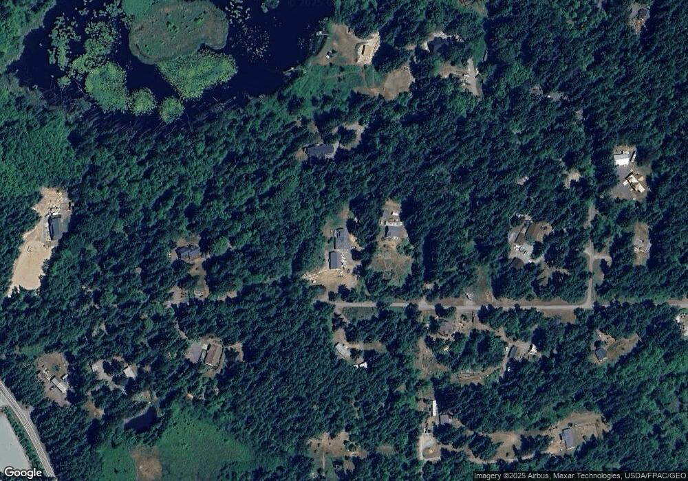
Map
Nearby Homes
- 152 Lake Sharon Ln
- 2223 Obrien Rd
- 999 O Brien Rd
- 0 92+ ac O Brien Rd
- 1404 Ripplebrook Dr
- 42 S Windflower Ln
- 92+ Acres Headwaters Ln Unit O'Brien Road
- 0 Xx Township Line Rd
- 9999 Ripplebrook Dr Unit 9999 Runnamuck Lane
- 9999 Ripplebrook Dr
- 0 Lot 40 Township Line Rd
- 9999 Blue Mountain Rd
- 0 Blue Valley Rd
- 71 John Jacobs Rd
- 596 Watershed Rd
- 371 John Jacobs Rd
- 137 Bravo Rd
- 212 Maletti Hill Rd
- Lot 11 Maletti Hill Rd
- 11 Lot Maletti Hill Rd
- 315 Quail Run Rd
- 234 Lake Sharon Ln
- 370 Quail Run Rd
- 173 Quail Run Rd
- 172 Quail Run Rd
- 33 Cherry Tree Ln
- 402 Quail Run Rd
- 45 Cherry Tree Ln
- 125 Cherry Tree Ln
- 145 Cherry Tree Ln
- 484 Quail Run Rd
- 2815 Obrien Rd
- 34 Cherry Tree Ln
- 42 Cherry Tree Ln
- 293 Champion Rd
- 92 Lake Sharon Ln
- 2921 Obrien Rd
- 201 Robinson Rd
- 131 Robinson Rd
- 292 Champion Rd