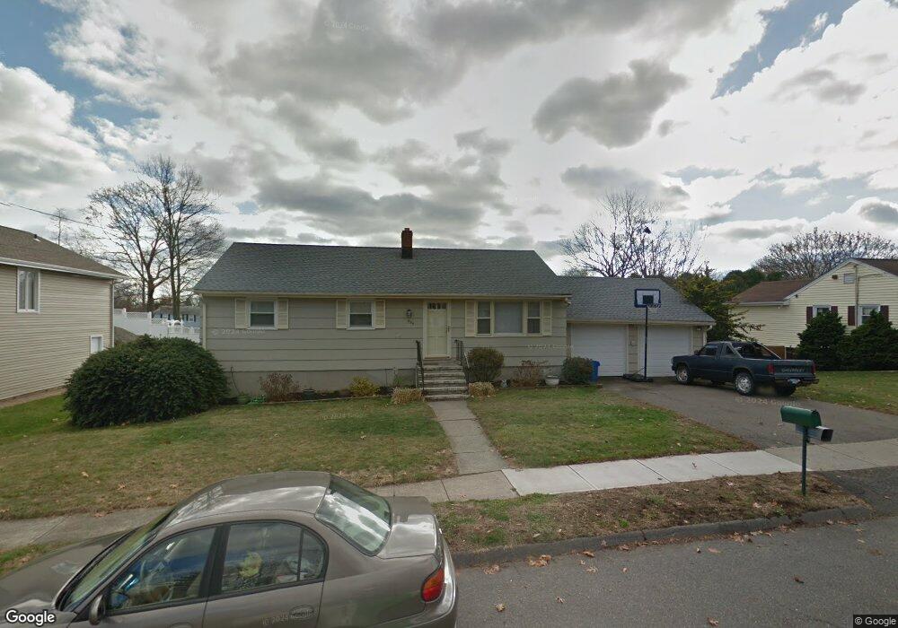
285 Quenby Place Stratford, CT 06614
Estimated Value: $478,000 - $520,890
3
Beds
2
Baths
1,118
Sq Ft
$453/Sq Ft
Est. Value
About This Home
This home is located at 285 Quenby Place, Stratford, CT 06614 and is currently estimated at $506,223, approximately $452 per square foot. 285 Quenby Place is a home located in Fairfield County with nearby schools including Chapel Street Elementary School, Harry B. Flood Middle School, and Bunnell High School.
Ownership History
Date
Name
Owned For
Owner Type
Purchase Details
Closed on
Apr 4, 1997
Sold by
Sutton Charles C and Sutton Nancy A
Bought by
Kallay Robert and Galanek Barbara
Current Estimated Value
Home Financials for this Owner
Home Financials are based on the most recent Mortgage that was taken out on this home.
Original Mortgage
$153,000
Interest Rate
7.5%
Mortgage Type
Unknown
Purchase Details
Closed on
Jun 14, 1990
Sold by
Piatak Mary
Bought by
Sutton Charles
Create a Home Valuation Report for This Property
The Home Valuation Report is an in-depth analysis detailing your home's value as well as a comparison with similar homes in the area
Home Values in the Area
Average Home Value in this Area
Purchase History
| Date | Buyer | Sale Price | Title Company |
|---|---|---|---|
| Kallay Robert | $167,000 | -- | |
| Sutton Charles | $168,000 | -- |
Source: Public Records
Mortgage History
| Date | Status | Borrower | Loan Amount |
|---|---|---|---|
| Open | Sutton Charles | $224,000 | |
| Closed | Sutton Charles | $50,000 | |
| Closed | Sutton Charles | $168,000 | |
| Closed | Sutton Charles | $153,000 |
Source: Public Records
Tax History Compared to Growth
Tax History
| Year | Tax Paid | Tax Assessment Tax Assessment Total Assessment is a certain percentage of the fair market value that is determined by local assessors to be the total taxable value of land and additions on the property. | Land | Improvement |
|---|---|---|---|---|
| 2025 | $6,928 | $172,340 | $100,450 | $71,890 |
| 2024 | $6,928 | $172,340 | $100,450 | $71,890 |
| 2023 | $6,928 | $172,340 | $100,450 | $71,890 |
| 2022 | $6,801 | $172,340 | $100,450 | $71,890 |
| 2021 | $6,802 | $172,340 | $100,450 | $71,890 |
| 2020 | $6,832 | $172,340 | $100,450 | $71,890 |
| 2019 | $6,486 | $162,680 | $85,610 | $77,070 |
| 2018 | $6,491 | $162,680 | $85,610 | $77,070 |
| 2017 | $6,502 | $162,680 | $85,610 | $77,070 |
| 2016 | $6,343 | $162,680 | $85,610 | $77,070 |
| 2015 | $6,016 | $162,680 | $85,610 | $77,070 |
| 2014 | $6,208 | $174,230 | $91,980 | $82,250 |
Source: Public Records
Map
Nearby Homes
- 175 Post Oak Rd
- 80 Sheffield Cir
- 135 Wigwam Ln
- 80 Wilbrook Rd
- 30 Bulmer Dr
- 410 Seabreeze Dr
- 1250 Huntington Rd
- 290 Pumpkin Ground Rd
- 15 Tavern Rock Rd
- 2921 Nichols Ave
- 165 Douglas St
- 735 Chickadee Ln
- 1053 Cutspring Rd
- 160 Cheshire St
- 450 Emerald Place
- 52 Circle Dr
- 75 Tucci Dr
- 80 Daniel Dr
- 375 Silver St
- 1618 Nichols Ave
- 265 Quenby Place
- 305 Quenby Place
- 280 Post Oak Rd
- 260 Quenby Place
- 280 Quenby Place
- 260 Post Oak Rd
- 300 Quenby Place
- 300 Post Oak Rd
- 265 Post Oak Rd
- 325 Quenby Place
- 245 Quenby Place
- 240 Post Oak Rd
- 245 Post Oak Rd
- 240 Quenby Place
- 285 Post Oak Rd
- 60 Plane Tree Rd
- 345 Quenby Place
- 305 Post Oak Rd
- 245 Reut Dr
- 320 Quenby Place