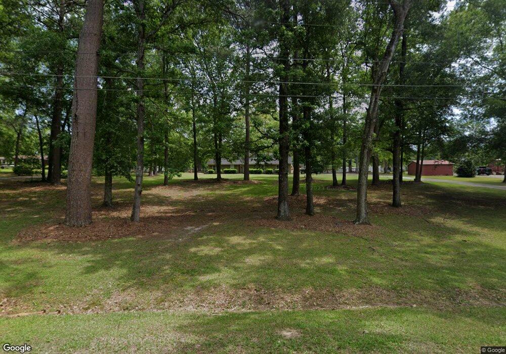
285 Rebel Dr Macon, GA 31211
Estimated Value: $177,000 - $204,000
--
Bed
3
Baths
1,757
Sq Ft
$110/Sq Ft
Est. Value
About This Home
This home is located at 285 Rebel Dr, Macon, GA 31211 and is currently estimated at $193,343, approximately $110 per square foot. 285 Rebel Dr is a home located in Jones County with nearby schools including Mattie Wells Elementary School, Clifton Ridge Middle School, and Jones County High School.
Ownership History
Date
Name
Owned For
Owner Type
Purchase Details
Closed on
Sep 15, 2021
Sold by
Thomas Perry Glenn
Bought by
Thomas Lindsey Caroline
Current Estimated Value
Purchase Details
Closed on
Jul 15, 2021
Sold by
Thomas Perry Glenn
Bought by
Thomas Lindsey Caroline
Create a Home Valuation Report for This Property
The Home Valuation Report is an in-depth analysis detailing your home's value as well as a comparison with similar homes in the area
Home Values in the Area
Average Home Value in this Area
Purchase History
| Date | Buyer | Sale Price | Title Company |
|---|---|---|---|
| Thomas Lindsey Caroline | -- | -- | |
| Thomas Lindsey Caroline | $125,000 | -- |
Source: Public Records
Tax History Compared to Growth
Tax History
| Year | Tax Paid | Tax Assessment Tax Assessment Total Assessment is a certain percentage of the fair market value that is determined by local assessors to be the total taxable value of land and additions on the property. | Land | Improvement |
|---|---|---|---|---|
| 2023 | $1,551 | $43,175 | $4,800 | $38,375 |
| 2022 | $1,403 | $39,057 | $4,800 | $34,257 |
| 2021 | $1,271 | $39,057 | $4,800 | $34,257 |
| 2020 | $1,272 | $39,057 | $4,800 | $34,257 |
| 2019 | $1,272 | $39,057 | $4,800 | $34,257 |
| 2018 | $1,222 | $37,667 | $4,800 | $32,867 |
| 2017 | $1,222 | $37,667 | $4,800 | $32,867 |
| 2016 | $1,187 | $36,696 | $4,800 | $31,896 |
| 2015 | $1,120 | $36,696 | $4,800 | $31,896 |
| 2014 | $1,037 | $36,696 | $4,800 | $31,896 |
Source: Public Records
Map
Nearby Homes
- 224 Rebel Dr
- 218 Rebel Dr
- 3446 Kingsview Cir
- 0 Champion Dr Unit 10639311
- 0 Kings Ct N Unit 10639310
- 194 Baker Rd
- 157 Country World Dr
- 144 Country World Dr
- 134 Country World Dr
- 148 Country World Dr
- 3320 Joycliff Rd
- 118 Oakwood Dr
- 227 Dusty Ln
- 225 Olivia Cir
- 3608 Joycliff Rd
- 246 Joycliff Cir
- 0 Shady Road Plaza
- 912 Chapman Dr
- 912 Chapman Dr Unit 45
- 277 Rebel Dr
- 293 Rebel Dr
- 271 Rebel Dr
- 3723 Confederate Dr
- 294 Rebel Dr
- 3717 Confederate Dr
- 3717 Confederate Dr Unit 15
- 302 Rebel Dr
- 389 Stonewall Dr
- 3709 Confederate Dr
- 369 Stonewall Dr
- 263 Rebel Dr
- Lot53-55 Rebel Dr
- 0 Rebel Dr Unit 8031805
- 0 Rebel Dr Unit 8241316
- 0 Rebel Dr Unit 8623300
- 3733 Confederate Dr
- 3 Confederate Dr
- 3705 Confederate Dr
- 264 Rebel Dr
