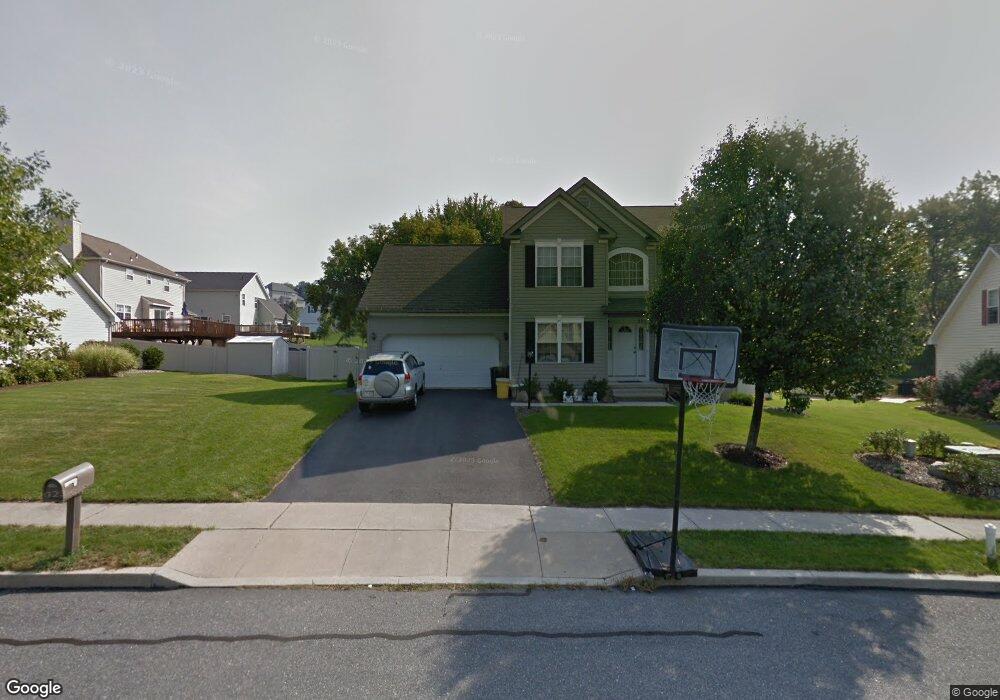
285 S Laurel Dr Wind Gap, PA 18091
Estimated Value: $442,000 - $581,000
4
Beds
3
Baths
2,978
Sq Ft
$179/Sq Ft
Est. Value
About This Home
This home is located at 285 S Laurel Dr, Wind Gap, PA 18091 and is currently estimated at $532,101, approximately $178 per square foot. 285 S Laurel Dr is a home located in Northampton County with nearby schools including Plainfield Elementary School, Wind Gap Middle School, and Pen Argyl Area High School.
Ownership History
Date
Name
Owned For
Owner Type
Purchase Details
Closed on
Aug 7, 2006
Sold by
Watts Ladd D
Bought by
Estrada Manuel
Current Estimated Value
Home Financials for this Owner
Home Financials are based on the most recent Mortgage that was taken out on this home.
Original Mortgage
$220,000
Interest Rate
6.14%
Mortgage Type
New Conventional
Purchase Details
Closed on
May 2, 2005
Sold by
Markle Mitchell
Bought by
Watts Ladd D
Home Financials for this Owner
Home Financials are based on the most recent Mortgage that was taken out on this home.
Original Mortgage
$217,600
Interest Rate
5.95%
Mortgage Type
New Conventional
Create a Home Valuation Report for This Property
The Home Valuation Report is an in-depth analysis detailing your home's value as well as a comparison with similar homes in the area
Home Values in the Area
Average Home Value in this Area
Purchase History
| Date | Buyer | Sale Price | Title Company |
|---|---|---|---|
| Estrada Manuel | $286,000 | -- | |
| Watts Ladd D | $272,000 | -- |
Source: Public Records
Mortgage History
| Date | Status | Borrower | Loan Amount |
|---|---|---|---|
| Previous Owner | Estrada Manuel | $220,000 | |
| Previous Owner | Watts Ladd D | $217,600 |
Source: Public Records
Tax History
| Year | Tax Paid | Tax Assessment Tax Assessment Total Assessment is a certain percentage of the fair market value that is determined by local assessors to be the total taxable value of land and additions on the property. | Land | Improvement |
|---|---|---|---|---|
| 2025 | $987 | $91,400 | $27,200 | $64,200 |
| 2024 | $6,888 | $91,400 | $27,200 | $64,200 |
| 2023 | $6,888 | $91,400 | $27,200 | $64,200 |
| 2022 | $6,751 | $91,400 | $27,200 | $64,200 |
| 2021 | $6,842 | $91,400 | $27,200 | $64,200 |
| 2020 | $6,842 | $91,400 | $27,200 | $64,200 |
| 2019 | $6,699 | $91,400 | $27,200 | $64,200 |
| 2018 | $6,548 | $91,400 | $27,200 | $64,200 |
| 2017 | $6,415 | $91,400 | $27,200 | $64,200 |
| 2016 | -- | $91,400 | $27,200 | $64,200 |
| 2015 | -- | $91,400 | $27,200 | $64,200 |
| 2014 | -- | $86,200 | $27,200 | $59,000 |
Source: Public Records
Map
Nearby Homes
- 118 E 1st St
- 38 W 2nd St
- 502 S Broadway
- 0 Pennsylvania 33
- 0 Male Rd
- 0 E West St Unit PM-138679
- 0 W Center St
- 67 Park Ave
- 6366 Sullivan Trail
- 6 Indian Trail
- 3 Tribe Ln
- 12 Indian Trail
- 1020 Mountain Ave
- 1147 Jacobsburg Rd
- 0 Pa 33 Unit 18-3648
- 939 Constitution Ave
- 845 W Pennsylvania Ave
- 751 W Pennsylvania Ave
- 901 Renaldi Rd
- 701 Pen Argyl St
Your Personal Tour Guide
Ask me questions while you tour the home.