285 W Main Rd Little Compton, RI 02837
Estimated Value: $2,284,000 - $4,881,841
Studio
--
Bath
--
Sq Ft
195,584
Sq Ft Lot
About This Home
This home is located at 285 W Main Rd, Little Compton, RI 02837 and is currently estimated at $3,582,921. 285 W Main Rd is a home located in Newport County with nearby schools including Wilbur & McMahon School.
Ownership History
Date
Name
Owned For
Owner Type
Purchase Details
Closed on
Jun 23, 2022
Sold by
Robert Thomas Brks T
Bought by
Robert Thomas Brooks T
Current Estimated Value
Purchase Details
Closed on
Sep 12, 2017
Sold by
Brooks Robert T and Brooks Rhea A
Bought by
Robert Thomas Brooks T and Rhea A Brooks 2002 T
Create a Home Valuation Report for This Property
The Home Valuation Report is an in-depth analysis detailing your home's value as well as a comparison with similar homes in the area
Home Values in the Area
Average Home Value in this Area
Purchase History
| Date | Buyer | Sale Price | Title Company |
|---|---|---|---|
| Robert Thomas Brooks T | -- | None Available | |
| Robert Thomas Brooks T | -- | -- |
Source: Public Records
Mortgage History
| Date | Status | Borrower | Loan Amount |
|---|---|---|---|
| Previous Owner | Robert Thomas Brooks T | $1,000,000 | |
| Previous Owner | Robert Thomas Brooks T | $750,000 | |
| Previous Owner | Robert Thomas Brooks T | $417,000 |
Source: Public Records
Tax History
| Year | Tax Paid | Tax Assessment Tax Assessment Total Assessment is a certain percentage of the fair market value that is determined by local assessors to be the total taxable value of land and additions on the property. | Land | Improvement |
|---|---|---|---|---|
| 2025 | $18,634 | $3,890,100 | $2,402,700 | $1,487,400 |
| 2024 | $20,435 | $4,022,700 | $2,118,100 | $1,904,600 |
| 2023 | $19,953 | $4,022,700 | $2,118,100 | $1,904,600 |
| 2022 | $18,945 | $3,866,300 | $2,118,100 | $1,748,200 |
| 2021 | $19,364 | $3,205,900 | $1,706,000 | $1,499,900 |
| 2020 | $18,941 | $3,162,100 | $1,706,000 | $1,456,100 |
| 2019 | $18,749 | $3,161,700 | $1,706,000 | $1,455,700 |
| 2018 | $15,339 | $2,573,600 | $1,222,600 | $1,351,000 |
| 2016 | $14,592 | $2,573,600 | $1,222,600 | $1,351,000 |
| 2015 | $16,355 | $2,844,400 | $1,441,600 | $1,402,800 |
| 2014 | $16,042 | $2,844,400 | $1,441,600 | $1,402,800 |
Source: Public Records
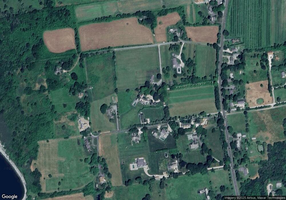
Map
Nearby Homes
- 17 Ferolbink Way
- 155 W Main Rd
- 441 W Main Rd
- 138 Willow Ave
- 141 Peckham Rd
- 0 Willow Ave
- 38 Old Bull Ln
- 0 Indian Ave
- 180 Cottontail Dr
- 225 Old Mill Ln
- 141 S Of Commons Rd
- 515 Indian Ave
- 505 Long Hwy
- 100 Summerfield Ln
- 128 Maple Ave
- 140I Long Hwy
- 140 Long Hwy
- 1 Butts Rock Rd
- 89 S Shore Rd
- 362 Bramans Ln
- 10 Brown Point Ln
- 291 W Main Rd
- 15 Sherer Cove
- 8 Sherer Cove
- 16 Sherer Cove
- 6 Brown Point Ln
- 295 W Main Rd
- 18 Brown Point Ln
- 21 Sherer Cove
- 301 W Main Rd
- 18 Sherer Cove
- 305 W Main Rd
- 8 Brown Point Ln
- 269 W Main Rd
- 22 Sherer Cove
- 284 W Main Rd
- 24 Sherer Cove
- 286 W Main Rd
- 20 Brown Point Ln
- 280 W Main Rd
Your Personal Tour Guide
Ask me questions while you tour the home.