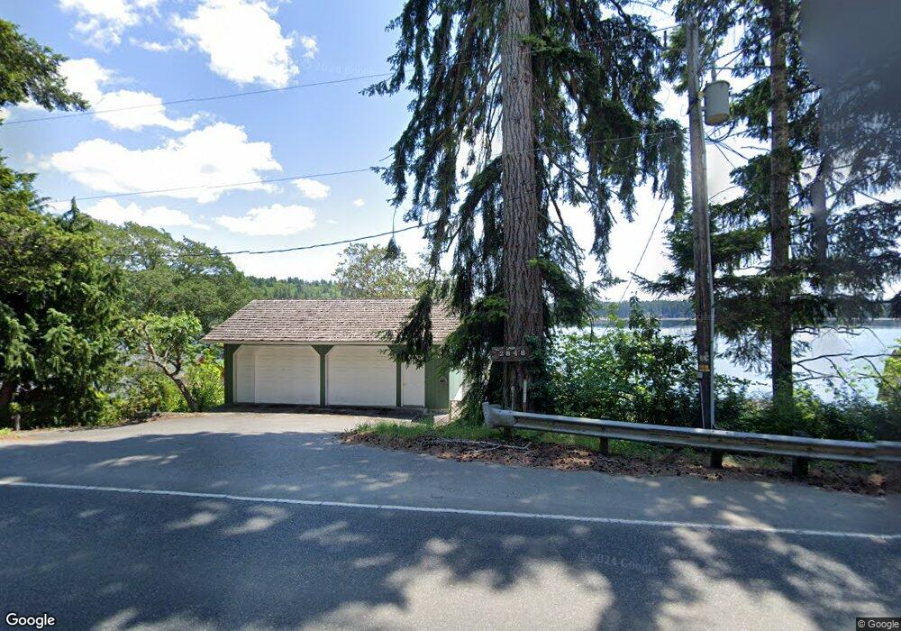
2850 E State Route 3 Shelton, WA 98584
Estimated Value: $485,000 - $585,000
3
Beds
1
Bath
1,152
Sq Ft
$461/Sq Ft
Est. Value
About This Home
This home is located at 2850 E State Route 3, Shelton, WA 98584 and is currently estimated at $530,759, approximately $460 per square foot. 2850 E State Route 3 is a home located in Mason County with nearby schools including Pioneer Primary School, Pioneer Intermediate/Middle School, and Mt Olive Lutheran School.
Ownership History
Date
Name
Owned For
Owner Type
Purchase Details
Closed on
May 7, 2015
Sold by
Olinger Margie L and Olinger Kevin H
Bought by
Stevens Robert M
Current Estimated Value
Purchase Details
Closed on
Dec 30, 2009
Sold by
Stevens Larry L and Stevens Toni L
Bought by
Olinger Margie L
Purchase Details
Closed on
Dec 29, 2009
Sold by
Stevens Larry L and Stevens Toni L
Bought by
Olinger Margie L
Purchase Details
Closed on
Mar 23, 1962
Sold by
Stevens Martin V B and Stevens Linda
Bought by
Stevens Larry
Create a Home Valuation Report for This Property
The Home Valuation Report is an in-depth analysis detailing your home's value as well as a comparison with similar homes in the area
Purchase History
| Date | Buyer | Sale Price | Title Company |
|---|---|---|---|
| Stevens Robert M | $250,000 | Mason County Title Ins Co | |
| Olinger Margie L | -- | Mason County Title Ins Co | |
| Olinger Margie L | $200,000 | Mason County Title Ins Co | |
| Stevens Larry | -- | Mason County Title Company |
Source: Public Records
Tax History
| Year | Tax Paid | Tax Assessment Tax Assessment Total Assessment is a certain percentage of the fair market value that is determined by local assessors to be the total taxable value of land and additions on the property. | Land | Improvement |
|---|---|---|---|---|
| 2025 | $4,056 | $409,225 | $174,850 | $234,375 |
| 2023 | $3,501 | $379,640 | $174,850 | $204,790 |
| 2022 | $4,275 | $367,025 | $203,315 | $163,710 |
| 2021 | $4,080 | $367,025 | $203,315 | $163,710 |
| 2020 | $3,210 | $322,620 | $203,315 | $119,305 |
| 2018 | $3,474 | $218,995 | $100,440 | $118,555 |
| 2017 | $2,899 | $218,995 | $100,440 | $118,555 |
| 2016 | $2,791 | $202,960 | $100,440 | $102,520 |
| 2015 | -- | $197,015 | $100,440 | $96,575 |
| 2014 | -- | $178,420 | $89,280 | $89,140 |
| 2013 | -- | $250,855 | $94,860 | $155,995 |
Source: Public Records
Map
Nearby Homes
- 3 .29Acres Tideland
- 6 E Swindler's Cove Rd
- 7 E Swindler's Cove Rd
- 5 E Lone Fir Dr E Unit Div 2
- 4 E Lone Fir Dr E Unit Div 2
- 3 E Lone Fir Dr E Unit Div 2
- 2111 Washington 3
- 1341 E Beaver Ave
- 0 Lot 13 E Peyton Place
- 0 E Daniels Rd
- 51 E Skyline Dr
- 0 Lot 9-10 E Seamount Way
- 30 E Bridger Ln
- 153 E Mason Lake Rd
- 40 E Ashwood Ln
- 61 E Panorama Dr
- 120 E Ashwood Ln
- 291 E Midway Ln
- 40 E Dogwood Place
- 151 E Ashwood Ln
- 2852 E State Route 3
- 2848 E State Route 3
- 2854 E State Route 3
- 90 E Swindlers Cove Rd
- 3100 E State Route 3
- 957 E Daniels Rd E
- 2450 E State Route 3
- 111 E Beaver Ln
- 2430 E State Route 3
- 958 E Daniels Rd E
- 2400 E State Route 3
- 220 E Beaver Ln
- 210 E Beaver Ln
- 951 E Daniels Rd
- 200 E Beaver Ln
- 2370 E State Route 3
- 180 E Beaver Ln
- 2350 E State Route 3
- 0 PCL16 E Swindler's Cove Rd
- 1029 E Swindler's Cove Rd
Your Personal Tour Guide
Ask me questions while you tour the home.