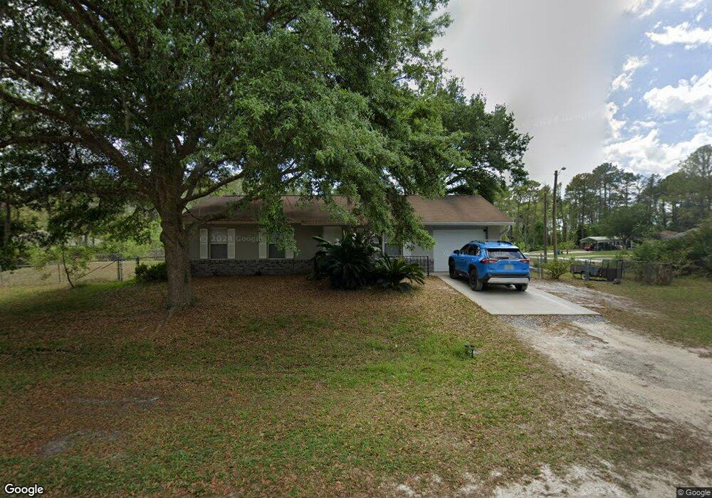
2850 Laurel Rd Deland, FL 32724
Estimated Value: $220,283 - $249,000
3
Beds
2
Baths
1,398
Sq Ft
$170/Sq Ft
Est. Value
About This Home
This home is located at 2850 Laurel Rd, Deland, FL 32724 and is currently estimated at $237,821, approximately $170 per square foot. 2850 Laurel Rd is a home located in Volusia County with nearby schools including Blue Lake Elementary School, Deland High School, and Deland Middle School.
Ownership History
Date
Name
Owned For
Owner Type
Purchase Details
Closed on
May 18, 2017
Sold by
Colfin Al Fl 4 Llc
Bought by
Srp Sub Llc
Current Estimated Value
Purchase Details
Closed on
Jul 10, 2013
Sold by
Hartwell William L and Hartwell Anne
Bought by
Colfin Ai Fl4 Llc
Purchase Details
Closed on
Dec 15, 1991
Bought by
Colfin Ai Fl4 Llc
Purchase Details
Closed on
Feb 15, 1987
Bought by
Colfin Ai Fl4 Llc
Create a Home Valuation Report for This Property
The Home Valuation Report is an in-depth analysis detailing your home's value as well as a comparison with similar homes in the area
Home Values in the Area
Average Home Value in this Area
Purchase History
| Date | Buyer | Sale Price | Title Company |
|---|---|---|---|
| Srp Sub Llc | -- | Attorney | |
| Colfin Ai Fl4 Llc | -- | None Available | |
| Colfin Ai Fl4 Llc | $100 | -- | |
| Colfin Ai Fl4 Llc | $2,500 | -- |
Source: Public Records
Tax History Compared to Growth
Tax History
| Year | Tax Paid | Tax Assessment Tax Assessment Total Assessment is a certain percentage of the fair market value that is determined by local assessors to be the total taxable value of land and additions on the property. | Land | Improvement |
|---|---|---|---|---|
| 2025 | $2,796 | $159,578 | $23,250 | $136,328 |
| 2024 | $2,796 | $157,841 | $22,125 | $135,716 |
| 2023 | $2,796 | $144,430 | $20,250 | $124,180 |
| 2022 | $2,613 | $133,097 | $15,750 | $117,347 |
| 2021 | $2,512 | $110,511 | $9,375 | $101,136 |
| 2020 | $2,481 | $109,679 | $7,875 | $101,804 |
| 2019 | $2,422 | $100,261 | $7,875 | $92,386 |
| 2018 | $2,259 | $89,769 | $5,625 | $84,144 |
| 2017 | $1,946 | $80,061 | $4,125 | $75,936 |
| 2016 | $1,719 | $68,370 | $0 | $0 |
| 2015 | $1,624 | $61,743 | $0 | $0 |
| 2014 | $1,479 | $53,469 | $0 | $0 |
Source: Public Records
Map
Nearby Homes
- 1645 11th Ave
- TBD 11th Ave
- 1170 11th Ave
- 0 11th Ave Unit MFRO6121387
- 1266 East Pkwy
- 1385 11th Ave
- XXX E Jasmine Rd
- 1230 East Pkwy
- 0 East Pkwy Unit MFRV4945340
- 0 East Pkwy Unit 1218220
- 1465 East Pkwy
- 1362 East Pkwy
- 1720 East Pkwy
- 1710 East Pkwy
- 1375 10th Ave
- 1431 11th Ave
- 1224 10th Ave
- 1490 11th Ave
- 1765 9th Ave
- 1250 9th Ave
- 1283 East Pkwy
- 1280 11th Ave
- 1270 11th Ave
- 1290 East Pkwy
- 1280 East Pkwy
- 1324 11th Ave
- 0 11th Ave Unit 565527
- 0 11th Ave Unit MFRS5110349
- 0 11th Ave Unit V4715688
- 0 11th Ave Unit 565733
- 0 11th Ave Unit 561751
- 0 11th Ave Unit 551276
- 0 11th Ave Unit 551274
- 0 11th Ave Unit MFRO6161882
- 0 11th Ave Unit MFRO6157837
- 0 11th Ave Unit MFRS5094191
- 0 11th Ave Unit MFRS5091404
- 0 11th Ave Unit MFRV4931517
- 0 11th Ave Unit MFRO6127332
- Lot 129 11th Ave