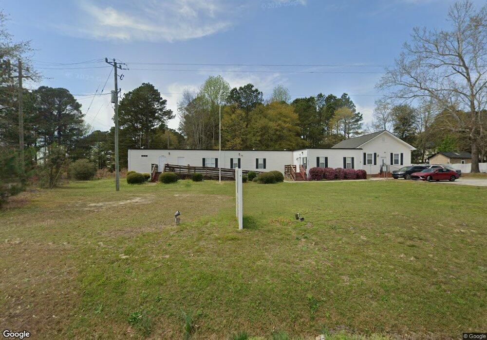
2850 Old Fairground Rd Angier, NC 27501
Pleasant Grove NeighborhoodEstimated Value: $356,752
Studio
--
Bath
912
Sq Ft
$391/Sq Ft
Est. Value
About This Home
This home is located at 2850 Old Fairground Rd, Angier, NC 27501 and is currently estimated at $356,752, approximately $391 per square foot. 2850 Old Fairground Rd is a home located in Johnston County with nearby schools including McGee's Crossroads Elementary School, McGee's Crossroads Middle School, and West Johnston High School.
Ownership History
Date
Name
Owned For
Owner Type
Purchase Details
Closed on
Feb 23, 2021
Sold by
Gilleland Dianne and Gilleland William C
Bought by
Lesley Thomas Consulting Llc
Current Estimated Value
Home Financials for this Owner
Home Financials are based on the most recent Mortgage that was taken out on this home.
Original Mortgage
$185,625
Outstanding Balance
$166,021
Interest Rate
2.7%
Mortgage Type
Commercial
Estimated Equity
$190,731
Create a Home Valuation Report for This Property
The Home Valuation Report is an in-depth analysis detailing your home's value as well as a comparison with similar homes in the area
Home Values in the Area
Average Home Value in this Area
Purchase History
| Date | Buyer | Sale Price | Title Company |
|---|---|---|---|
| Lesley Thomas Consulting Llc | $247,500 | None Available |
Source: Public Records
Mortgage History
| Date | Status | Borrower | Loan Amount |
|---|---|---|---|
| Open | Lesley Thomas Consulting Llc | $185,625 |
Source: Public Records
Tax History
| Year | Tax Paid | Tax Assessment Tax Assessment Total Assessment is a certain percentage of the fair market value that is determined by local assessors to be the total taxable value of land and additions on the property. | Land | Improvement |
|---|---|---|---|---|
| 2025 | $1,751 | $275,820 | $52,270 | $223,550 |
| 2024 | $2,073 | $255,940 | $32,670 | $223,270 |
| 2023 | $2,009 | $255,940 | $32,670 | $223,270 |
| 2022 | $2,073 | $255,940 | $32,670 | $223,270 |
| 2021 | $1,480 | $182,720 | $32,670 | $150,050 |
| 2020 | $1,535 | $182,720 | $32,670 | $150,050 |
| 2019 | $1,498 | $182,720 | $32,670 | $150,050 |
| 2018 | $451 | $53,660 | $22,500 | $31,160 |
| 2017 | $451 | $53,660 | $22,500 | $31,160 |
| 2016 | $451 | $53,660 | $22,500 | $31,160 |
| 2015 | $451 | $53,660 | $22,500 | $31,160 |
| 2014 | $451 | $53,660 | $22,500 | $31,160 |
Source: Public Records
Map
Nearby Homes
- 205 Teresa Ct
- 3361 Old Fairground Rd
- 264 Harbor Cove Dr
- 506 Harbor Cove Dr
- 16 Keystone Ct
- Davidson Plan at Cedar Ridge
- Cypress Plan at Cedar Ridge
- McDowell Plan at Cedar Ridge
- Hamilton Plan at Cedar Ridge
- Colfax Plan at Cedar Ridge
- Edgefield Plan at Cedar Ridge
- Cooper Plan at Cedar Ridge
- Wescott Plan at Cedar Ridge
- 131 Regal Pond Dr
- 197 Silverside Dr
- 232 Burrage Dr
- 179 Camden Dr
- 444 Everland Pkwy
- 105 Pinecrest Dr
- Bradley II Plan at Carsons Landing