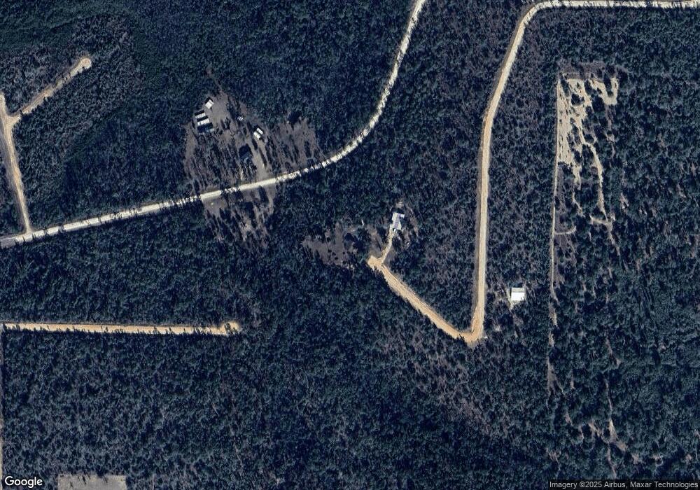
2850 Paulding Ct Alford, FL 32420
Estimated Value: $185,276 - $216,000
3
Beds
2
Baths
1,266
Sq Ft
$156/Sq Ft
Est. Value
About This Home
This home is located at 2850 Paulding Ct, Alford, FL 32420 and is currently estimated at $197,069, approximately $155 per square foot. 2850 Paulding Ct is a home located in Jackson County with nearby schools including Cottondale Elementary School.
Ownership History
Date
Name
Owned For
Owner Type
Purchase Details
Closed on
Feb 10, 2003
Sold by
Roye Joseph Ray and Roye Janine M
Bought by
Roye Joseph Ray and Roye Janine M
Current Estimated Value
Home Financials for this Owner
Home Financials are based on the most recent Mortgage that was taken out on this home.
Original Mortgage
$52,500
Interest Rate
5.89%
Purchase Details
Closed on
Jun 6, 2000
Sold by
Robert Marler and Robert Marianne
Bought by
Roye Joseph Ray
Home Financials for this Owner
Home Financials are based on the most recent Mortgage that was taken out on this home.
Original Mortgage
$58,000
Interest Rate
8.11%
Create a Home Valuation Report for This Property
The Home Valuation Report is an in-depth analysis detailing your home's value as well as a comparison with similar homes in the area
Home Values in the Area
Average Home Value in this Area
Purchase History
| Date | Buyer | Sale Price | Title Company |
|---|---|---|---|
| Roye Joseph Ray | -- | Florida Land Title & Trust C | |
| Roye Joseph Ray | $72,500 | Florida Land Title & Trust C |
Source: Public Records
Mortgage History
| Date | Status | Borrower | Loan Amount |
|---|---|---|---|
| Closed | Roye Joseph Ray | $52,500 | |
| Closed | Roye Joseph Ray | $58,000 |
Source: Public Records
Tax History Compared to Growth
Tax History
| Year | Tax Paid | Tax Assessment Tax Assessment Total Assessment is a certain percentage of the fair market value that is determined by local assessors to be the total taxable value of land and additions on the property. | Land | Improvement |
|---|---|---|---|---|
| 2024 | $680 | $90,793 | -- | -- |
| 2023 | $631 | $88,149 | $0 | $0 |
| 2022 | $563 | $85,582 | $0 | $0 |
| 2021 | $558 | $83,089 | $0 | $0 |
| 2020 | $562 | $81,942 | $0 | $0 |
| 2019 | $566 | $80,100 | $5,000 | $75,100 |
| 2018 | $679 | $81,093 | $5,000 | $76,093 |
| 2017 | $774 | $81,371 | $5,000 | $76,371 |
| 2016 | $768 | $81,966 | $5,000 | $76,966 |
| 2015 | $875 | $82,501 | $5,000 | $77,501 |
| 2014 | -- | $89,857 | $18,000 | $71,857 |
Source: Public Records
Map
Nearby Homes
- 0000 Anderson Dr
- 0 Nevada Dr Unit 25128412
- 0 Nevada Dr Unit 760318
- 0 Sycamore St
- Richland St
- 0 Lincoln Ave Unit MFRO6330954
- 838 Rebecca Ct
- Lot 17 Southern Blvd
- Tbd Coreville Ave
- 0 Coreville Ave
- 0000 Southern Blvd
- Lot 37 Girard Ct
- 00 Carver Cir
- 0000 Carver Cir
- 0000 Ocala Dr
- 0 Ocala Dr
- 0000 Rocky Ct
- 0 W Laurel Dr Unit 774405
- 00000 W Laurel Dr
- 00 W Laurel Dr
- LOT 33 Lot 33 Nevada Dr
- 0 Paulding Ct
- 00 Paulding Ct
- 0000 Paulding Ct
- 0 Anderson Dr Unit 23308689
- Lot #35 Anderson Dr
- 0 Anderson Dr Unit 755875
- 0 Anderson Dr Unit 748370
- 0 Anderson Dr Unit 358119
- 0 Anderson Dr Unit 641925
- 0 Anderson Dr Unit 641967
- 0 Anderson Dr Unit 655866
- 0- 26 - 29 Anderson Dr
- 0 - 29 Anderson Dr
- 0 - 27 Anderson Dr
- 0 - 26 Anderson Dr
- 0 - 28 Anderson Dr
- 0 Anderson Dr Unit LOT 14 649899
- 0 Anderson Dr Unit LOT 13 649898
- 00 Anderson Dr
