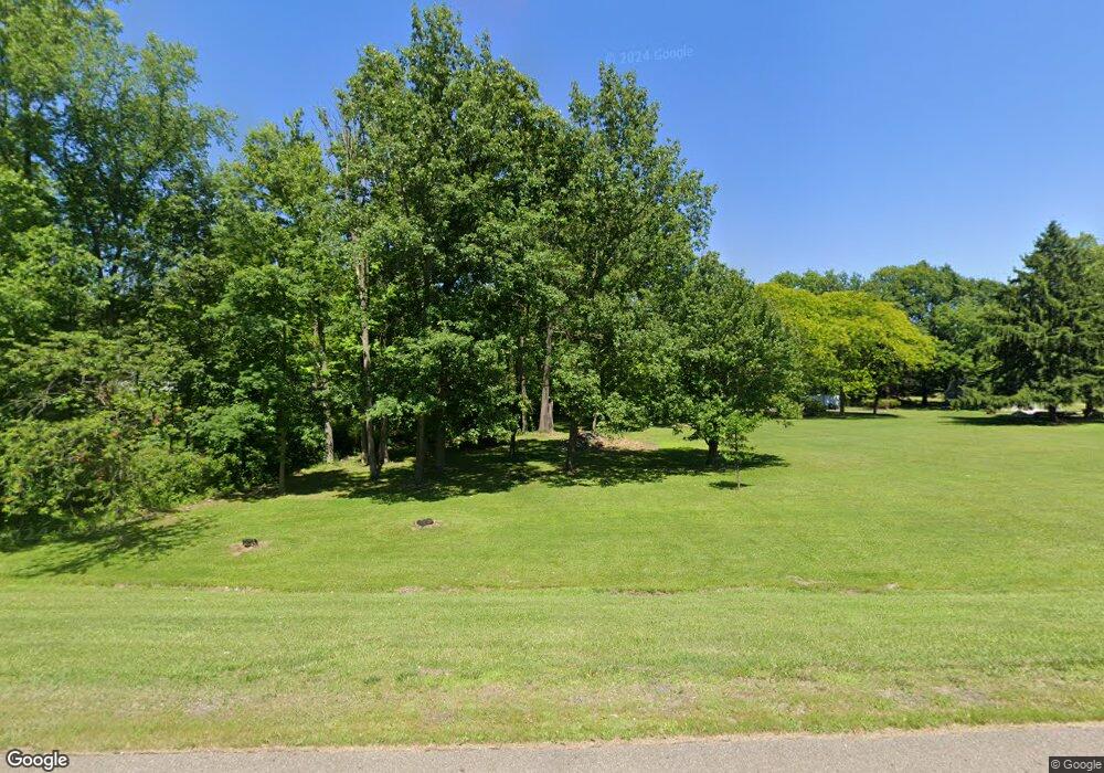
2850 State Route 39 Shelby, OH 44875
Estimated Value: $243,000 - $409,000
3
Beds
2
Baths
1,892
Sq Ft
$175/Sq Ft
Est. Value
About This Home
This home is located at 2850 State Route 39, Shelby, OH 44875 and is currently estimated at $331,572, approximately $175 per square foot. 2850 State Route 39 is a home located in Richland County with nearby schools including Foundation Academy.
Ownership History
Date
Name
Owned For
Owner Type
Purchase Details
Closed on
Aug 21, 2025
Sold by
Bauer Roger L and Bauer Jacqueline R
Bought by
Bauer Roger L and Bauer Jacqueline R
Current Estimated Value
Purchase Details
Closed on
Jul 11, 1995
Sold by
Artz Teresa L
Bought by
Bauer Roger L and Bauer Jacqueline R
Home Financials for this Owner
Home Financials are based on the most recent Mortgage that was taken out on this home.
Original Mortgage
$150,100
Interest Rate
7.9%
Mortgage Type
New Conventional
Purchase Details
Closed on
Nov 30, 1990
Sold by
Nye Herbert E
Bought by
Artz James E
Create a Home Valuation Report for This Property
The Home Valuation Report is an in-depth analysis detailing your home's value as well as a comparison with similar homes in the area
Home Values in the Area
Average Home Value in this Area
Purchase History
| Date | Buyer | Sale Price | Title Company |
|---|---|---|---|
| Bauer Roger L | -- | None Listed On Document | |
| Bauer Roger L | -- | None Listed On Document | |
| Bauer Roger L | $158,000 | -- | |
| Artz James E | $182,500 | -- |
Source: Public Records
Mortgage History
| Date | Status | Borrower | Loan Amount |
|---|---|---|---|
| Previous Owner | Bauer Roger L | $150,100 |
Source: Public Records
Tax History Compared to Growth
Tax History
| Year | Tax Paid | Tax Assessment Tax Assessment Total Assessment is a certain percentage of the fair market value that is determined by local assessors to be the total taxable value of land and additions on the property. | Land | Improvement |
|---|---|---|---|---|
| 2024 | $2,277 | $69,630 | $15,070 | $54,560 |
| 2023 | $2,277 | $69,630 | $15,070 | $54,560 |
| 2022 | $2,201 | $60,310 | $14,560 | $45,750 |
| 2021 | $2,202 | $60,310 | $14,560 | $45,750 |
| 2020 | $2,204 | $60,310 | $14,560 | $45,750 |
| 2019 | $1,983 | $51,450 | $12,340 | $39,110 |
| 2018 | $1,943 | $51,450 | $12,340 | $39,110 |
| 2017 | $1,952 | $51,450 | $12,340 | $39,110 |
| 2016 | $1,979 | $52,180 | $11,290 | $40,890 |
| 2015 | $1,979 | $52,180 | $11,290 | $40,890 |
| 2014 | $1,901 | $52,180 | $11,290 | $40,890 |
| 2012 | $941 | $52,180 | $11,290 | $40,890 |
Source: Public Records
Map
Nearby Homes
- 2674 Stiving Rd
- 3619 Springmill Rd N
- 1717 Myers Rd
- 3400 Rock Rd
- 3596 Ohio 39
- 1845 Taylortown Rd
- 0 Neff Rd
- 3763 State Route 39
- 2526 Bowman St
- 3389 Wareham Rd
- 3251 Cookton Grange Rd
- 2696 Walker Lake Rd
- 1067 Taylortown Rd
- 1125 Cobblefield Dr Unit 59
- 1396 Spring Village Dr Unit 1398
- 0 Technology Pkwy
- 1980 Walker Lake Rd
- 1631 Deer View Cir
- 0 Spring Village Ln
- 812 Taylortown Rd
- 2953 Plymouth Springmill Rd
- 2953 Plymouth Springmill Rd
- 2973 Plymouth Springmill Rd
- 2933 Plymouth Springmill Rd
- 2866 State Route 39
- 2916 State Route 39
- 2846 State Route 39
- 2901 Plymouth Springmill Rd
- 2978 Plymouth Springmill Rd
- 2858 State Route 39
- 2902 Ohio 39
- 2902 State Route 39
- 2893 Plymouth Springmill Rd
- 2944 Plymouth Springmill Rd
- 2908 State Route 39
- 2842 State Route 39
- 2834 State Route 39
- 3105 Plymouth Springmill Rd
- 2822 State Route 39
- 2920 State Route 39
