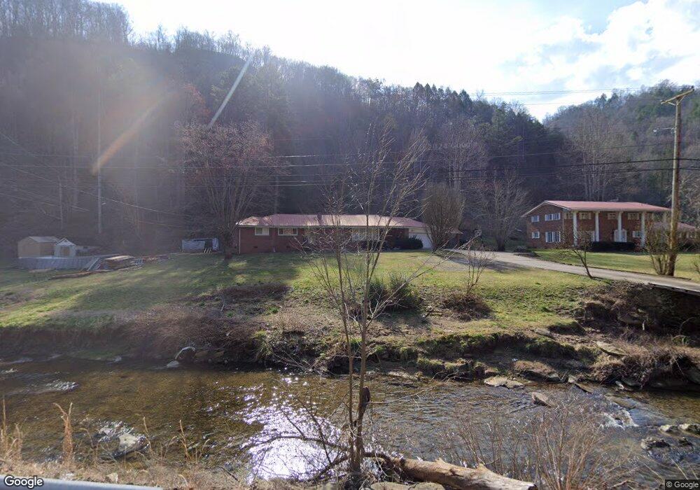
2851 Longfork Rd Virgie, KY 41572
Estimated Value: $108,000 - $249,000
4
Beds
2
Baths
1,681
Sq Ft
$114/Sq Ft
Est. Value
About This Home
This home is located at 2851 Longfork Rd, Virgie, KY 41572 and is currently estimated at $192,081, approximately $114 per square foot. 2851 Longfork Rd is a home located in Pike County with nearby schools including Valley Christian Academy.
Ownership History
Date
Name
Owned For
Owner Type
Purchase Details
Closed on
Aug 27, 2025
Sold by
Collins Bradley and Collins Courtney
Bought by
Tackett Mallie
Current Estimated Value
Purchase Details
Closed on
Oct 5, 2020
Sold by
Upton Jenny and Upton Charles S
Bought by
Collins Bradley and Collins Courtney
Home Financials for this Owner
Home Financials are based on the most recent Mortgage that was taken out on this home.
Original Mortgage
$142,373
Interest Rate
2.8%
Mortgage Type
FHA
Create a Home Valuation Report for This Property
The Home Valuation Report is an in-depth analysis detailing your home's value as well as a comparison with similar homes in the area
Home Values in the Area
Average Home Value in this Area
Purchase History
| Date | Buyer | Sale Price | Title Company |
|---|---|---|---|
| Tackett Mallie | $225,000 | None Listed On Document | |
| Collins Bradley | $145,000 | None Available |
Source: Public Records
Mortgage History
| Date | Status | Borrower | Loan Amount |
|---|---|---|---|
| Previous Owner | Collins Bradley | $142,373 |
Source: Public Records
Tax History Compared to Growth
Tax History
| Year | Tax Paid | Tax Assessment Tax Assessment Total Assessment is a certain percentage of the fair market value that is determined by local assessors to be the total taxable value of land and additions on the property. | Land | Improvement |
|---|---|---|---|---|
| 2024 | $1,975 | $145,000 | $0 | $0 |
| 2023 | $2,029 | $145,000 | $0 | $0 |
| 2022 | $2,064 | $145,000 | $0 | $0 |
| 2021 | $2,070 | $145,000 | $0 | $0 |
| 2020 | $1,012 | $70,700 | $0 | $0 |
| 2019 | $1,014 | $70,700 | $0 | $0 |
| 2018 | $1,014 | $70,700 | $0 | $0 |
| 2017 | $1,007 | $70,700 | $0 | $0 |
| 2016 | $389 | $70,700 | $0 | $0 |
| 2015 | $356 | $70,700 | $0 | $0 |
| 2014 | $344 | $70,700 | $0 | $0 |
| 2012 | $368 | $77,400 | $15,000 | $62,400 |
Source: Public Records
Map
Nearby Homes
- 0 Highway 610 West Map# 039-00-00-016 04 Unit Lot 9 111068
- 0 Highway 610 West Map# 039-00-00-016 04 Unit Lot 7 111066
- 0 Highway 610 West Map# 039-00-00-016 04 Unit Lot 6 111065
- 0 Highway 610 West Map# 039-00-00-016 04 Unit Lot 8 111067
- 0 Highway 610 West Map# 039-00-00-016 04 Unit Lot 5 111064
- 0 Highway 610 West Map# 039-00-00-016 04 Unit Lot 4 111063
- 3045 Indian Creek Rd
- 1886 Indian Creek Rd
- 3482 Kentucky 610
- 377 Elswick Branch Rd
- 00 Highway 610 West Map# 039-00-00-016 04 Unit Hill
- 638 Indian Creek Rd
- 815 Elswick Branch Rd
- 116 Johnson Rd
- 252 Indian Creek Rd
- 345 Left Fork of Long Fork
- 310 Lower Caleb Fork
- 308 Dorton St
- 454 Newsome Branch
- 248 &262 Newsome Branch
- 2851 Long Fk Rd
- 2879 Longfork Rd
- 2796 Longfork Rd
- 32 Burke Rd
- 2968 Longfork Rd
- 3067 Longfork Rd
- 3097 Longfork Rd
- 35 Slone Rd
- 3112 Longfork Rd
- 2664 Longfork Rd
- 2610 Longfork Rd
- 2587 Longfork Rd
- 1111 Longfork Rd
- 136 Hampton Rd
- 136 Hampton Rd
- 3214 Long Fork Rd
- 60 Hampton Rd
- 2538 Little Creek
- 40 Hampton Rd
- 3214 Longfork Rd