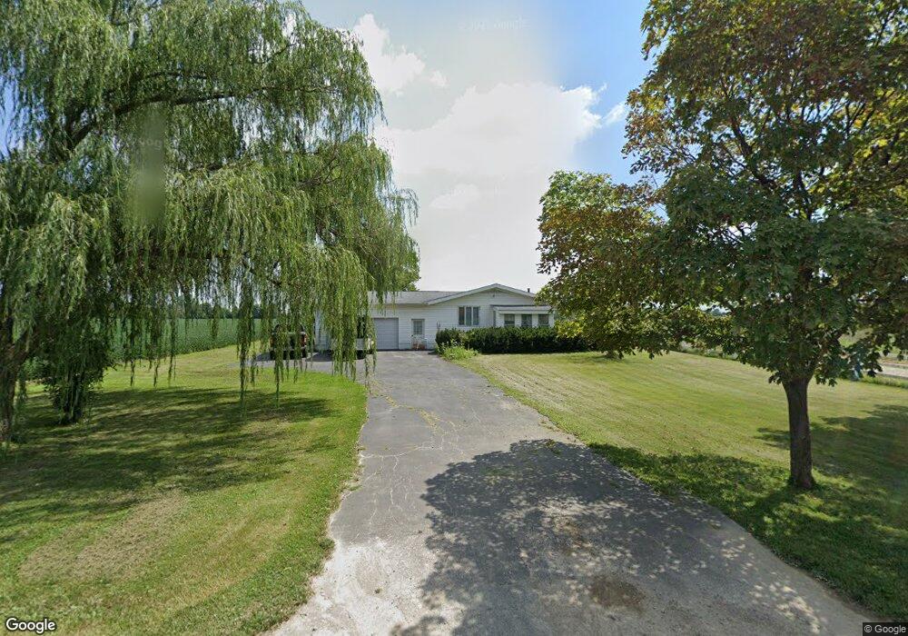
2851 S Section Line Rd Delaware, OH 43015
Concord NeighborhoodEstimated Value: $331,898 - $438,000
3
Beds
1
Bath
1,854
Sq Ft
$202/Sq Ft
Est. Value
About This Home
This home is located at 2851 S Section Line Rd, Delaware, OH 43015 and is currently estimated at $374,725, approximately $202 per square foot. 2851 S Section Line Rd is a home located in Delaware County with nearby schools including Buckeye Valley High School, Grace Community School, and Grace Community Elementary School.
Ownership History
Date
Name
Owned For
Owner Type
Purchase Details
Closed on
Sep 8, 2021
Bought by
Emad Holdings Ii Ltd
Current Estimated Value
Home Financials for this Owner
Home Financials are based on the most recent Mortgage that was taken out on this home.
Interest Rate
2.87%
Purchase Details
Closed on
May 29, 1997
Sold by
Martinez Henry
Bought by
Sparks Robert L and Sparks Betty J
Home Financials for this Owner
Home Financials are based on the most recent Mortgage that was taken out on this home.
Original Mortgage
$87,900
Interest Rate
8.27%
Mortgage Type
New Conventional
Create a Home Valuation Report for This Property
The Home Valuation Report is an in-depth analysis detailing your home's value as well as a comparison with similar homes in the area
Home Values in the Area
Average Home Value in this Area
Purchase History
| Date | Buyer | Sale Price | Title Company |
|---|---|---|---|
| Emad Holdings Ii Ltd | $155,000 | -- | |
| Sparks Robert L | $109,900 | -- |
Source: Public Records
Mortgage History
| Date | Status | Borrower | Loan Amount |
|---|---|---|---|
| Closed | Emad Holdings Ii Ltd | -- | |
| Previous Owner | Sparks Robert L | $87,900 |
Source: Public Records
Tax History
| Year | Tax Paid | Tax Assessment Tax Assessment Total Assessment is a certain percentage of the fair market value that is determined by local assessors to be the total taxable value of land and additions on the property. | Land | Improvement |
|---|---|---|---|---|
| 2024 | $2,891 | $81,590 | $25,310 | $56,280 |
| 2023 | $2,888 | $81,590 | $25,310 | $56,280 |
| 2022 | $2,848 | $72,630 | $16,100 | $56,530 |
| 2021 | $2,239 | $58,490 | $16,100 | $42,390 |
| 2020 | $2,254 | $58,490 | $16,100 | $42,390 |
| 2019 | $1,947 | $46,280 | $13,410 | $32,870 |
| 2018 | $1,978 | $46,280 | $13,410 | $32,870 |
| 2017 | $1,839 | $42,490 | $10,430 | $32,060 |
| 2016 | $1,703 | $42,490 | $10,430 | $32,060 |
| 2015 | $1,794 | $42,490 | $10,430 | $32,060 |
| 2014 | $1,690 | $42,490 | $10,430 | $32,060 |
| 2013 | $1,686 | $40,950 | $10,430 | $30,520 |
Source: Public Records
Map
Nearby Homes
- 3516 US Highway 42 S
- 6098 S Section Line Rd
- 1723 S Section Line Rd
- 0 Ohio 257 Unit Lot 2
- 0 Ohio 257 Unit Lot 1
- 2098 Us Highway 42 S
- 195 Lenell Loop
- 345 Lenell Loop
- 0 S Houk Rd
- 440 Steeplechase St
- 183 Schellinger St
- 69 Greenhedge Cir Unit 69
- 117 Shay St Unit 178
- 112 Silverline Dr
- 2036 Ford Rd
- 2028 Ford Rd
- 101 Franks Field Dr Unit Lot 13845
- 2004 Ford Rd
- 2000 Ford Rd
- 478 Penwell Dr Unit Lot 13903
- 2923 S Section Line Rd
- 2979 S Section Line Rd
- 3001 S Section Line Rd
- 3062 S Section Line Rd
- 3080 S Section Line Rd
- 3246 S Section Line Rd
- 3232 Us Highway 42 S
- 2369 S Section Line Rd
- 3218 U S 42
- 2905 Klondike Rd
- 7781 Airport Rd
- 3358 Us Highway 42 S
- 0 U S Highway 42 Unit 223000305
- 0 U S Highway 42 Unit 219025368
- 0 U S Highway 42 Unit 218033582
- 0 U S Highway 42 Unit 220001754
- 0 U S Highway 42 Unit 220001753
- 0 U S Highway 42 Unit 220001752
- 3480 S Section Line Rd
- 3522 S Section Line Rd
Your Personal Tour Guide
Ask me questions while you tour the home.