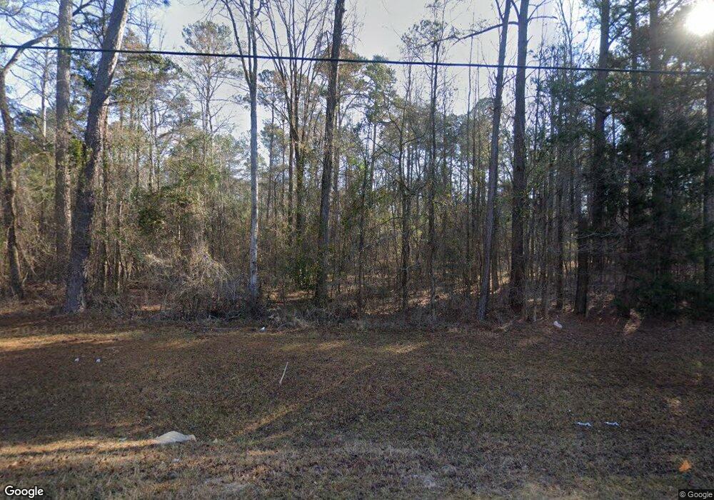
2851 Scotts Ferry Rd Appling, GA 30802
Estimated Value: $4,165,870
--
Bed
--
Bath
--
Sq Ft
488.58
Acres
About This Home
This home is located at 2851 Scotts Ferry Rd, Appling, GA 30802 and is currently estimated at $4,165,870. 2851 Scotts Ferry Rd is a home located in Columbia County with nearby schools including North Columbia Elementary School, Harlem Middle School, and Suncoast Community High School.
Ownership History
Date
Name
Owned For
Owner Type
Purchase Details
Closed on
Mar 7, 2016
Sold by
Pollard Patricia
Bought by
Ppb Real Estate Partners
Current Estimated Value
Purchase Details
Closed on
Dec 31, 2009
Sold by
R W Pollard Ent Lllp
Bought by
Blanton Patricia Pollard
Purchase Details
Closed on
Dec 31, 2004
Sold by
Pollard Robert W
Bought by
R W Pollard Enterprises Lllp
Purchase Details
Closed on
Dec 15, 2004
Sold by
Pollard Jennie F
Bought by
Pollard Robert W and The Jennie F Pollard Irrevocable Gifting
Create a Home Valuation Report for This Property
The Home Valuation Report is an in-depth analysis detailing your home's value as well as a comparison with similar homes in the area
Home Values in the Area
Average Home Value in this Area
Purchase History
| Date | Buyer | Sale Price | Title Company |
|---|---|---|---|
| Ppb Real Estate Partners | -- | -- | |
| Blanton Patricia Pollard | $1,610,600 | -- | |
| R W Pollard Enterprises Lllp | -- | -- | |
| Pollard Robert W | -- | -- |
Source: Public Records
Tax History Compared to Growth
Tax History
| Year | Tax Paid | Tax Assessment Tax Assessment Total Assessment is a certain percentage of the fair market value that is determined by local assessors to be the total taxable value of land and additions on the property. | Land | Improvement |
|---|---|---|---|---|
| 2025 | $2,721 | $2,204,672 | $2,204,672 | $0 |
| 2024 | $2,776 | $1,619,074 | $1,619,074 | $0 |
| 2023 | $2,776 | $1,056,587 | $1,056,587 | $0 |
| 2022 | $2,711 | $856,644 | $856,644 | $0 |
| 2021 | $2,763 | $776,666 | $776,666 | $0 |
| 2020 | $2,750 | $99,120 | $99,120 | $0 |
| 2019 | $2,680 | $96,594 | $96,594 | $0 |
| 2018 | $2,620 | $94,102 | $94,102 | $0 |
| 2017 | $2,564 | $91,768 | $91,768 | $0 |
| 2016 | $2,404 | $89,256 | $89,256 | $0 |
| 2015 | $2,348 | $87,004 | $87,004 | $0 |
| 2014 | $2,320 | $84,884 | $84,884 | $0 |
Source: Public Records
Map
Nearby Homes
- 250 Menros Way
- 6768 Cobbham Rd
- 2839 Sellars Rd
- 2829 Sellars Rd
- 5570 Tubman Rd
- 0 Gales Rd
- 905 Neptune Trail
- 935 Neptune Trail
- 945 Neptune Trail
- 3256 Kelli Dr
- 3199 Dozier Rd
- 3395 Tom Bartles Rd
- 3405 Tom Bartles Rd
- 3409 Tom Bartles Rd
- 3255 Jacqueline Dr
- 3316 Ray Owens Rd
- 2526 Scotts Ferry Rd
- 3320 Ray Owens Rd
- 2950 Ray Owens Rd
- 2954 Ray Owens Rd
- 2989 Ray Owens Rd
- 2970 Ray Owens Rd
- 2987 Ray Owens Rd
- 2984 Ray Owens Rd
- 2968 Ray Owens Rd
- 6617 Crawford Place Rd
- 3007 Ray Owens Rd
- 6418 Yelton Rd
- 6414 Yelton Rd
- 2990 Ray Owens Rd
- 3009 Ray Owens Rd
- 2988 Ray Owens Rd
- 6412 Yelton Rd
- 3014 Ray Owens Rd
- 3021 Ray Owens Rd
- 2865 Thomson Rd
- 3025 Ray Owens Rd
- 570 Firefly Trail
