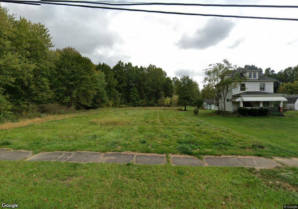
2853 McGuffey Rd Youngstown, OH 44505
McGuffey Heights NeighborhoodEstimated Value: $14,231 - $202,000
About This Home
This home is located at 2853 McGuffey Rd, Youngstown, OH 44505 and is currently estimated at $123,558, approximately $89 per square foot. 2853 McGuffey Rd is a home located in Mahoning County with nearby schools including M.L. King Elementary School, Williamson Elementary School, and East High School.
Ownership History
We collect this data history from publicly available records. To have your information removed, we recommend requesting removal directly through your county’s website.
Purchase Details
Purchase Details
Purchase Details
Purchase Details
Purchase Details
Home Values in the Area
Average Home Value in this Area
Purchase History
We collect this data history from publicly available records. To have your information removed, we recommend requesting removal directly through your county’s website.
| Date | Buyer | Sale Price | Title Company |
|---|---|---|---|
| -- | None Available | ||
| -- | -- | ||
| $7,000 | -- | ||
| $29,000 | -- | ||
| -- | -- |
Tax History
We collect this data history from publicly available records. To have your information removed, we recommend requesting removal directly through your county’s website.
| Year | Tax Paid | Tax Assessment Tax Assessment Total Assessment is a certain percentage of the fair market value that is determined by local assessors to be the total taxable value of land and additions on the property. | Land | Improvement |
|---|---|---|---|---|
| 2025 | -- | $280 | $280 | -- |
| 2024 | -- | $280 | $280 | -- |
| 2022 | $0 | $270 | $270 | $0 |
| 2021 | $0 | $270 | $270 | $0 |
| 2020 | $0 | $270 | $270 | $0 |
| 2019 | $0 | $250 | $250 | $0 |
| 2018 | $7 | $2,410 | $820 | $1,590 |
| 2017 | $3 | $2,410 | $820 | $1,590 |
| 2016 | $3 | $2,550 | $820 | $1,730 |
| 2015 | $3 | $2,550 | $820 | $1,730 |
| 2014 | $3 | $2,550 | $820 | $1,730 |
| 2013 | $3 | $2,550 | $820 | $1,730 |
Map
- 2849 McGuffey Rd
- 0 Ridley Ave Unit 5210638
- 1214 Brighton St
- 1251 Jacobs Rd
- 1612 Jacobs Rd
- 1720 Jacobs Rd
- 2526 Stocker Ave
- 2502 Stocker Ave
- 819 Lyden Ave
- 2156 McGuffey Rd
- 2051 Blair Ave
- 2831 Benford Ln
- 578 Dean Ave
- 2954 Megan Cir
- 2823 Benford Ln
- V/L Jacobs Rd
- 836 Stiles Ave
- 0 Stewart Ave
- 32 Maranatha Dr
- 557 Sunshine Ave
- 2845 McGuffey Rd
- 2923 McGuffey Rd
- 2841 McGuffey Rd
- 2835 McGuffey Rd
- 2900 McGuffey Rd
- 2848 McGuffey Rd
- 1113 Keogh Ave
- 1109 Keogh Ave
- 2933 McGuffey Rd
- 2819 McGuffey Rd
- 2850 Ridley Ave
- 2842 Ridley Ave
- 2830 McGuffey Rd
- 0 Ridley Ave Unit 1068624
- 0 Ridley Ave Unit 1068622
- 0 Ridley Ave Unit 4500663
- 2811 McGuffey Rd
- 521 Forest Glen Ave
- 2833 Baker St
- 1041 Bryn Mawr Ave
Ask me questions while you tour the home.