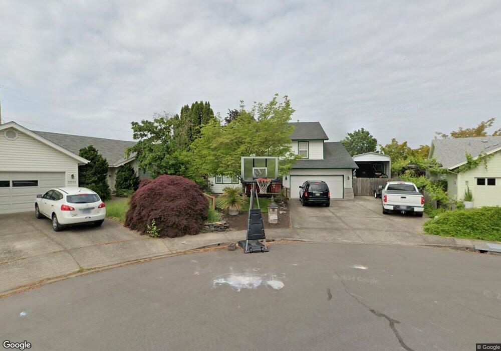
2854 Shirley St Eugene, OR 97404
Santa Clara NeighborhoodEstimated Value: $448,000 - $541,000
3
Beds
3
Baths
1,798
Sq Ft
$272/Sq Ft
Est. Value
About This Home
This home is located at 2854 Shirley St, Eugene, OR 97404 and is currently estimated at $488,935, approximately $271 per square foot. 2854 Shirley St is a home located in Lane County with nearby schools including Spring Creek Elementary School, Madison Middle School, and North Eugene High School.
Ownership History
Date
Name
Owned For
Owner Type
Purchase Details
Closed on
Jan 22, 2014
Sold by
Schmoll Harry R and Schmoll Bonnie S
Bought by
Dixon Daniel and Dixon Ashlee
Current Estimated Value
Home Financials for this Owner
Home Financials are based on the most recent Mortgage that was taken out on this home.
Original Mortgage
$218,500
Outstanding Balance
$164,530
Interest Rate
4.4%
Mortgage Type
New Conventional
Estimated Equity
$324,405
Purchase Details
Closed on
Oct 22, 1997
Sold by
Mckee Scott B and Mckee Sherry L
Bought by
Schmoll Harry R and Schmoll Bonnie S
Create a Home Valuation Report for This Property
The Home Valuation Report is an in-depth analysis detailing your home's value as well as a comparison with similar homes in the area
Home Values in the Area
Average Home Value in this Area
Purchase History
| Date | Buyer | Sale Price | Title Company |
|---|---|---|---|
| Dixon Daniel | $230,000 | Cascade Title Company | |
| Schmoll Harry R | $159,271 | Cascade Title Co |
Source: Public Records
Mortgage History
| Date | Status | Borrower | Loan Amount |
|---|---|---|---|
| Open | Dixon Daniel | $218,500 |
Source: Public Records
Tax History Compared to Growth
Tax History
| Year | Tax Paid | Tax Assessment Tax Assessment Total Assessment is a certain percentage of the fair market value that is determined by local assessors to be the total taxable value of land and additions on the property. | Land | Improvement |
|---|---|---|---|---|
| 2025 | $5,568 | $285,772 | -- | -- |
| 2024 | $5,499 | $277,449 | -- | -- |
| 2023 | $5,499 | $269,368 | $0 | $0 |
| 2022 | $5,151 | $261,523 | $0 | $0 |
| 2021 | $4,838 | $253,906 | $0 | $0 |
| 2020 | $4,855 | $246,511 | $0 | $0 |
| 2019 | $4,689 | $239,332 | $0 | $0 |
| 2018 | $4,414 | $225,594 | $0 | $0 |
| 2017 | $4,109 | $225,594 | $0 | $0 |
| 2016 | $3,863 | $219,023 | $0 | $0 |
| 2015 | $3,707 | $212,644 | $0 | $0 |
| 2014 | $3,612 | $206,450 | $0 | $0 |
Source: Public Records
Map
Nearby Homes
- 2721 La Darrah St
- 2563 York St
- 2795 Kalmia St
- 3138 Columbine St
- 2734 Kalmia St
- 185 Ferndale Dr
- 871 Corvette Ln
- 3235 Crocker Rd
- 3228 Tilden St
- 3241 Cindy St
- 992 Travis Ave
- 303 Lenore Loop
- 596 Blackfoot Ave
- 2451 Bowtie Ave
- 193 Santa Clara Ave
- 2488 Northampton
- 2698 Crowther Dr
- 2879 Teal Place
- 2429 Northampton Unit 25
- 190 River Loop 1
- 2842 Shirley St
- 2866 Shirley St
- 2838 Shirley St
- 2946 Brett Loop
- 2942 Brett Loop
- 535 Loy Ave
- 2878 Shirley St
- 525 Loy Ave
- 2822 Shirley St
- 2882 Shirley St
- 2932 Brett Loop
- 2928 Brett Loop
- 2820 Shirley St
- 2950 Brett Loop
- 2938 Brett Loop
- 2924 Brett Loop
- 2900 Shirley St
- 2920 Brett Loop
- 683 Loy Ave
- 2918 Shirley St