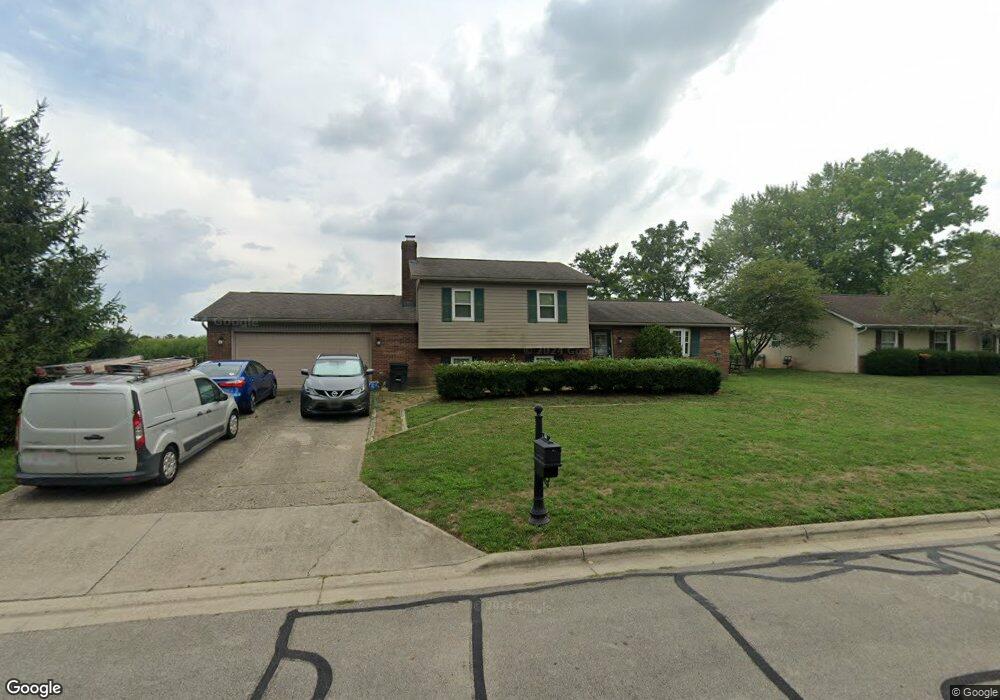
2855 Cornstalk Ave Ashville, OH 43103
Estimated Value: $306,000 - $342,000
3
Beds
2
Baths
1,742
Sq Ft
$187/Sq Ft
Est. Value
About This Home
This home is located at 2855 Cornstalk Ave, Ashville, OH 43103 and is currently estimated at $325,535, approximately $186 per square foot. 2855 Cornstalk Ave is a home located in Pickaway County.
Ownership History
Date
Name
Owned For
Owner Type
Purchase Details
Closed on
Mar 5, 1998
Sold by
Blair Donald A
Bought by
Daulton Timothy P and Daulton Laura J
Current Estimated Value
Home Financials for this Owner
Home Financials are based on the most recent Mortgage that was taken out on this home.
Original Mortgage
$130,000
Outstanding Balance
$23,908
Interest Rate
7.08%
Mortgage Type
VA
Estimated Equity
$301,627
Purchase Details
Closed on
Jun 1, 1985
Create a Home Valuation Report for This Property
The Home Valuation Report is an in-depth analysis detailing your home's value as well as a comparison with similar homes in the area
Home Values in the Area
Average Home Value in this Area
Purchase History
| Date | Buyer | Sale Price | Title Company |
|---|---|---|---|
| Daulton Timothy P | $130,000 | -- | |
| -- | $66,500 | -- |
Source: Public Records
Mortgage History
| Date | Status | Borrower | Loan Amount |
|---|---|---|---|
| Open | Daulton Timothy P | $130,000 |
Source: Public Records
Tax History Compared to Growth
Tax History
| Year | Tax Paid | Tax Assessment Tax Assessment Total Assessment is a certain percentage of the fair market value that is determined by local assessors to be the total taxable value of land and additions on the property. | Land | Improvement |
|---|---|---|---|---|
| 2024 | -- | $85,210 | $10,400 | $74,810 |
| 2023 | $3,035 | $85,210 | $10,400 | $74,810 |
| 2022 | $2,382 | $62,420 | $8,510 | $53,910 |
| 2021 | $2,386 | $62,420 | $8,510 | $53,910 |
| 2020 | $2,387 | $62,420 | $8,510 | $53,910 |
| 2019 | $2,245 | $53,950 | $8,510 | $45,440 |
| 2018 | $2,292 | $53,950 | $8,510 | $45,440 |
| 2017 | $2,382 | $53,950 | $8,510 | $45,440 |
| 2016 | $2,405 | $55,470 | $8,510 | $46,960 |
| 2015 | $2,397 | $55,470 | $8,510 | $46,960 |
| 2014 | $2,274 | $55,470 | $8,510 | $46,960 |
| 2013 | $2,272 | $55,520 | $8,510 | $47,010 |
Source: Public Records
Map
Nearby Homes
- 16715 Pontiac Place
- 3055 Clifford Ave
- 0 Little Walnut Rd
- 5009 Roese Ave
- 30 Bazler Ln
- 94 Richard Ave
- 77 Cromley St
- 5069 Ashville Rd
- 61 Bortz St
- 170 Jefferson Ave
- 307 Honeysuckle St
- 5050 S Walnut St
- 302 Honeysuckle St
- 5049 Lee Rd
- 234 Dowler Dr
- 18825 Island Rd
- 5441 Morning Glory St Unit Lot 338
- 5439 Morning Glory St Unit Lot 337
- 5445 Morning Glory St Unit Lot 340
- 5435 Morning Glory St Unit Lot 335
- 2875 Cornstalk Ave
- 2835 Cornstalk Ave
- 2860 Cornstalk Ave
- 2895 Cornstalk Ave
- 2815 Cornstalk Ave
- 2840 Cornstalk Ave
- 16705 Nokomis Cir
- 2820 Cornstalk Ave
- 2791 Cornstalk Ave
- 2915 Cornstalk Ave
- 2800 Cornstalk Ave
- 16700 Nokomis Cir
- 16710 Nokomis Cir
- 2771 Cornstalk Ave
- 16725 Pontiac Place
- 2780 Cornstalk Ave
- 2935 Cornstalk Ave
- 16705 Pontiac Place
- 2768 Cornstalk Ave
- 2751 Cornstalk Ave