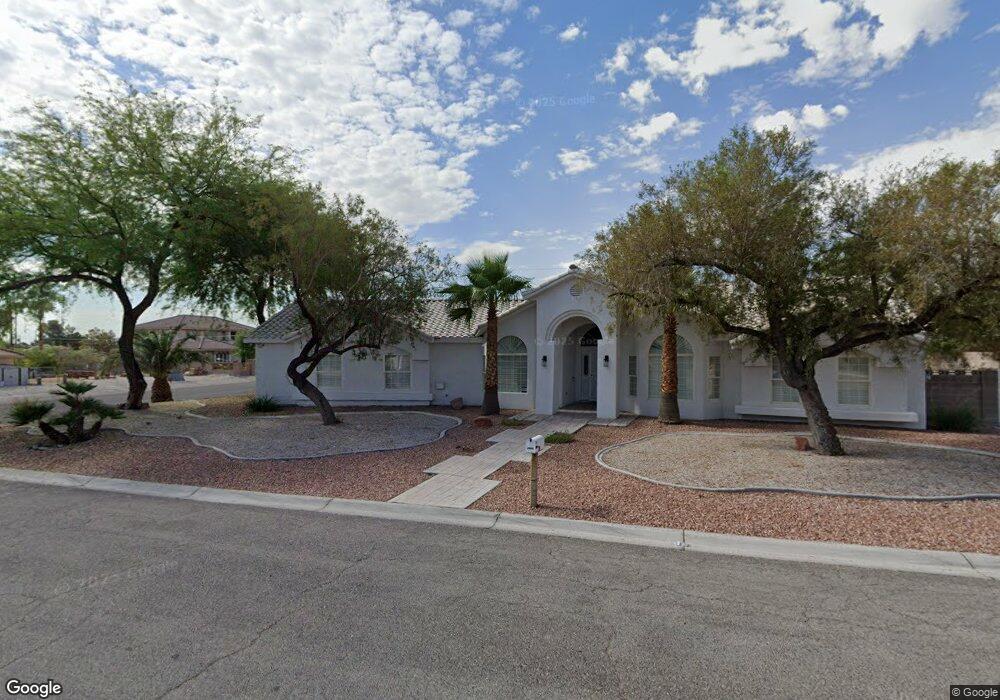
2855 N Bronco St Las Vegas, NV 89108
Michael Way NeighborhoodEstimated Value: $618,427 - $741,000
4
Beds
3
Baths
2,620
Sq Ft
$263/Sq Ft
Est. Value
About This Home
This home is located at 2855 N Bronco St, Las Vegas, NV 89108 and is currently estimated at $688,857, approximately $262 per square foot. 2855 N Bronco St is a home located in Clark County with nearby schools including Berkeley L. Bunker Elementary School, Irwin & Susan Molasky Junior High School, and Cimarron Memorial High School.
Ownership History
Date
Name
Owned For
Owner Type
Purchase Details
Closed on
Dec 10, 2009
Sold by
Chupa Michael P
Bought by
Chupa Michael P and Cloyes Laurie
Current Estimated Value
Purchase Details
Closed on
Jan 24, 2001
Sold by
Chittock John F
Bought by
Chupa Christine L
Purchase Details
Closed on
Jan 19, 2001
Sold by
Chupa Christine L
Bought by
Chupa Michael P
Purchase Details
Closed on
Feb 24, 1996
Sold by
Lum Paul K P and Lum Peter K W
Bought by
Chupa Michael P and Chupa Christine L
Create a Home Valuation Report for This Property
The Home Valuation Report is an in-depth analysis detailing your home's value as well as a comparison with similar homes in the area
Home Values in the Area
Average Home Value in this Area
Purchase History
| Date | Buyer | Sale Price | Title Company |
|---|---|---|---|
| Chupa Michael P | -- | None Available | |
| Chupa Christine L | -- | Nevada Title Company | |
| Chupa Michael P | -- | Nevada Title Company | |
| Chupa Michael P | -- | -- |
Source: Public Records
Tax History Compared to Growth
Tax History
| Year | Tax Paid | Tax Assessment Tax Assessment Total Assessment is a certain percentage of the fair market value that is determined by local assessors to be the total taxable value of land and additions on the property. | Land | Improvement |
|---|---|---|---|---|
| 2025 | $2,296 | $159,284 | $57,750 | $101,534 |
| 2024 | $2,229 | $159,284 | $57,750 | $101,534 |
| 2023 | $2,229 | $151,873 | $56,000 | $95,873 |
| 2022 | $2,165 | $129,742 | $42,000 | $87,742 |
| 2021 | $2,102 | $119,194 | $35,350 | $83,844 |
| 2020 | $2,037 | $118,352 | $35,350 | $83,002 |
| 2019 | $2,013 | $120,384 | $38,500 | $81,884 |
| 2018 | $1,920 | $109,783 | $30,450 | $79,333 |
| 2017 | $3,032 | $111,195 | $30,450 | $80,745 |
| 2016 | $1,798 | $86,772 | $22,050 | $64,722 |
| 2015 | $1,794 | $96,506 | $15,750 | $80,756 |
| 2014 | $1,742 | $61,979 | $10,500 | $51,479 |
Source: Public Records
Map
Nearby Homes
- 2879 N Jones Blvd
- 2870 Maverick St
- 5905 Paseo Montana
- 6100 W Brooks Ave
- 3009 Brair Knoll Ct
- 2915 Maverick St
- 5807 Madre Mesa Dr
- 6316 Portola Rd
- 2512 Rialto Rd
- 5710 Madre Mesa Dr
- 6204 Robin Hood Cir
- 2632 Ironside Dr
- 2499 N Jones Blvd
- 2912 Drury St
- 6428 Yarmouth Dr
- 6204 Barkstone Ave
- 2624 Shakespeare Rd
- 6400 Deadwood Rd
- 2513 Calico St
- 2536 Charteroak St
- 2865 N Bronco St
- 2845 N Bronco St
- 2885 N Bronco St
- 2860 N Bronco St
- 2875 N Bronco St
- 2890 N Bronco St
- 2815 N Bronco St
- 2825 N Bronco St
- 2840 N Bronco St
- 6151 Bunker Commons Ct
- 6162 Bunker Commons Ct
- 2870 N Bronco St
- 2880 Maverick St
- 2880 N Bronco St
- 2916 N Bronco St
- 6163 Bunker Commons Ct
- 6174 Bunker Commons Ct
- 2860 Maverick St
- 2810 N Bronco St
- 6175 Bunker Commons Ct