2856 Capn Sams Rd Johns Island, SC 29455
Seabrook Island NeighborhoodEstimated Value: $191,000 - $1,800,000
--
Bed
--
Bath
--
Sq Ft
0.46
Acres
About This Home
This home is located at 2856 Capn Sams Rd, Johns Island, SC 29455 and is currently estimated at $754,334. 2856 Capn Sams Rd is a home located in Charleston County with nearby schools including Mt. Zion Elementary School, Haut Gap Middle School, and St. Johns High School.
Ownership History
Date
Name
Owned For
Owner Type
Purchase Details
Closed on
Oct 24, 2023
Sold by
Seabrook Island Green Space Conservancy
Bought by
Seabrook Island Property Owners Association
Current Estimated Value
Purchase Details
Closed on
Aug 1, 2014
Sold by
Widner Paul J and Widner Eileen A
Bought by
The Widner 2014 Family Trust and Widner Eileen A
Purchase Details
Closed on
Oct 10, 2005
Sold by
Kiroff Lawrence J and Kiroff Donna L
Bought by
Widner Paul J and Widner Eileen A
Purchase Details
Closed on
Oct 5, 2004
Sold by
Fletcher David and David Fletcher W
Bought by
Kiroff Lawrence J and Kiroff Donna L
Create a Home Valuation Report for This Property
The Home Valuation Report is an in-depth analysis detailing your home's value as well as a comparison with similar homes in the area
Home Values in the Area
Average Home Value in this Area
Purchase History
Date | Buyer | Sale Price | Title Company |
---|---|---|---|
Seabrook Island Property Owners Association | -- | None Listed On Document | |
The Widner 2014 Family Trust | -- | -- | |
Widner Paul J | $170,000 | -- | |
Kiroff Lawrence J | $100,000 | -- |
Source: Public Records
Tax History Compared to Growth
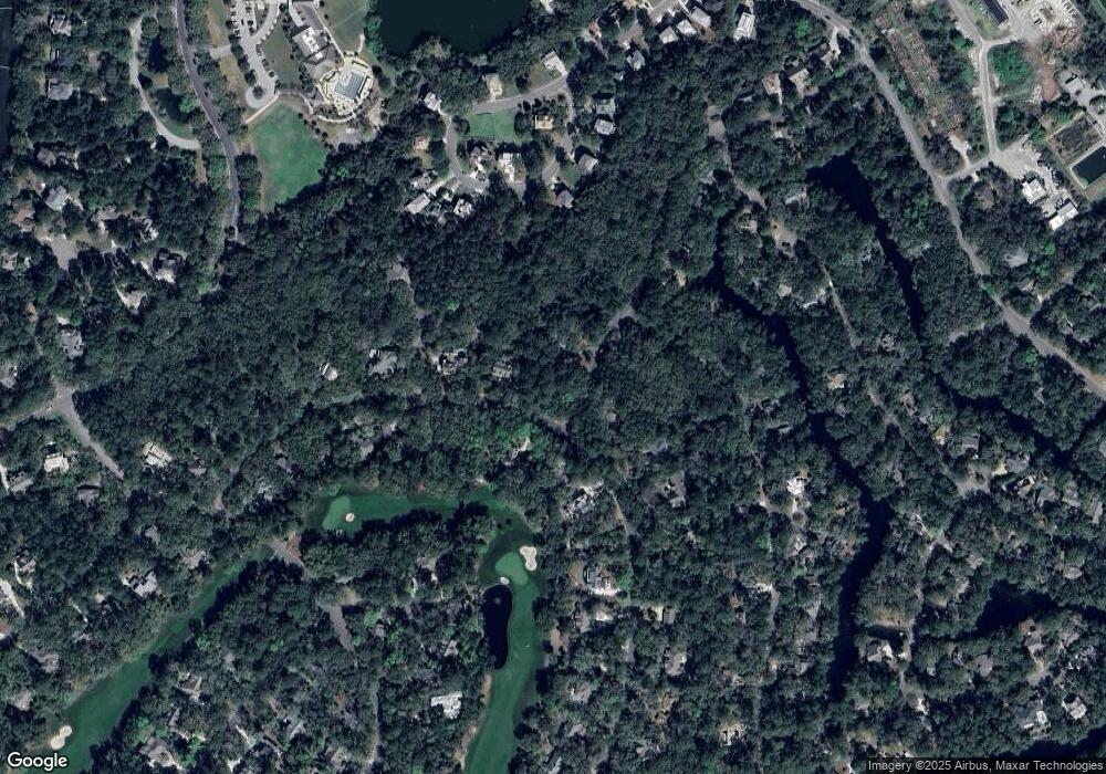
Tax History
Year | Tax Paid | Tax Assessment Tax Assessment Total Assessment is a certain percentage of the fair market value that is determined by local assessors to be the total taxable value of land and additions on the property. | Land | Improvement |
---|---|---|---|---|
2023 | $3,980 | $4,800 | $0 | $0 |
2022 | $1,079 | $4,800 | $0 | $0 |
2021 | $1,067 | $4,800 | $0 | $0 |
2020 | $1,052 | $4,800 | $0 | $0 |
2019 | $1,447 | $6,290 | $0 | $0 |
2017 | $1,368 | $6,290 | $0 | $0 |
2016 | $1,314 | $6,290 | $0 | $0 |
2015 | $1,244 | $6,290 | $0 | $0 |
2014 | $1,599 | $0 | $0 | $0 |
2011 | -- | $0 | $0 | $0 |
Source: Public Records
Map
Nearby Homes
- 2160 Royal Pine Dr
- 2737 Old Forest Dr
- 2755 Old Oak Walk
- 2104 Royal Pine Dr
- 2928 Baywood Dr
- 2837 Baywood Dr
- 2932 Old Drake Dr
- 2355 Andell Way
- 2195 Seabrook Island Rd
- 1614 Live Oak Park Unit 1614
- 1616 Live Oak Park Unit 1616
- 1619 Live Oak Park Unit 1619
- 1625 Live Oak Park
- 1712 Live Oak Park
- 1502 Marsh Haven
- 2942 Seabrook Island Rd
- 1720 Live Oak Park
- 3232 Seabrook Island Rd
- 1721 Live Oak Park
- 1723 Live Oak Park
- 2856 Capn Sams Rd
- 2856 Captain Sams Rd
- 2856 (L 19 B 2 )Capn Sams Rd
- 2164 Royal Pine Dr
- 2852 (L18 B2) Captain Sams Rd
- 2852 Capn Sams Rd
- 2161 Royal Pine Dr
- 2829 Capn Sams Rd
- 2829 Captain Sams Rd
- 2165 Royal Pine Dr
- 2833 Captain Sams Rd
- 2848 Partridge Walk Ct
- 2845 Capn Sams Rd
- 2844 Partridge Walk Ct
- 2156 Royal Pine Dr
- 2711 Old Oak Walk
- 2821 Captain Sams Rd
- 2837 Captain Sams Rd
- 2821 Cap''N Sams Rd
- 2864 Captain Sams Rd