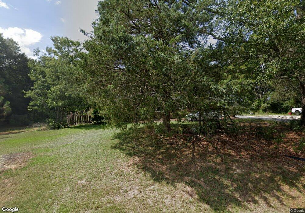
2856 Rock Branch Rd Elberton, GA 30635
Estimated Value: $171,000 - $264,000
--
Bed
2
Baths
1,485
Sq Ft
$146/Sq Ft
Est. Value
About This Home
This home is located at 2856 Rock Branch Rd, Elberton, GA 30635 and is currently estimated at $216,300, approximately $145 per square foot. 2856 Rock Branch Rd is a home located in Elbert County with nearby schools including Elbert County Primary School, Elbert County Elementary School, and Elbert County Middle School.
Ownership History
Date
Name
Owned For
Owner Type
Purchase Details
Closed on
Aug 22, 2008
Sold by
Old South Land & Timber En
Bought by
Wilson Wendell W and Wilson Pam G
Current Estimated Value
Purchase Details
Closed on
Apr 1, 1990
Purchase Details
Closed on
Jan 1, 1989
Purchase Details
Closed on
Aug 1, 1977
Purchase Details
Closed on
Feb 1, 1977
Purchase Details
Closed on
Jan 1, 1970
Create a Home Valuation Report for This Property
The Home Valuation Report is an in-depth analysis detailing your home's value as well as a comparison with similar homes in the area
Home Values in the Area
Average Home Value in this Area
Purchase History
| Date | Buyer | Sale Price | Title Company |
|---|---|---|---|
| Wilson Wendell W | $54,000 | -- | |
| -- | $52,000 | -- | |
| -- | $50,000 | -- | |
| -- | $25,000 | -- | |
| -- | $24,000 | -- | |
| -- | $500 | -- |
Source: Public Records
Tax History Compared to Growth
Tax History
| Year | Tax Paid | Tax Assessment Tax Assessment Total Assessment is a certain percentage of the fair market value that is determined by local assessors to be the total taxable value of land and additions on the property. | Land | Improvement |
|---|---|---|---|---|
| 2024 | $1,339 | $65,844 | $3,277 | $62,567 |
| 2023 | $1,339 | $65,844 | $3,277 | $62,567 |
| 2022 | $995 | $43,512 | $1,952 | $41,560 |
| 2021 | $997 | $43,512 | $1,952 | $41,560 |
| 2020 | $793 | $31,186 | $1,560 | $29,626 |
| 2019 | $824 | $31,186 | $1,560 | $29,626 |
| 2018 | $849 | $31,186 | $1,560 | $29,626 |
| 2017 | $825 | $28,264 | $1,560 | $26,704 |
| 2016 | $771 | $28,264 | $1,560 | $26,704 |
| 2015 | -- | $28,265 | $1,560 | $26,704 |
| 2014 | -- | $28,265 | $1,560 | $26,704 |
| 2013 | -- | $28,265 | $1,560 | $26,704 |
Source: Public Records
Map
Nearby Homes
- 2946 Rock Branch Rd
- 0 Anderson Hwy Unit 24629664
- 0 Anderson Hwy Unit 10536298
- 2187 Turner Hill Rd
- 0 Gregg Shoals Dr Unit 10497348
- 0 Gregg Shoals Dr Unit CL342115
- 0 Gregg Shoals Dr Unit LotWP001 24031325
- 0 Moore Rd Unit 10552577
- 0 Pickens Point Dr Unit CL337116
- 0 Pickens Point Dr Unit 10588711
- 1071 Sword Dr Unit 64
- 1071 Sword Dr
- 0 Omaha Dr Unit 7591330
- 0 Omaha Dr Unit 10536866
- 0 Jacks Hat Rd Unit 10614621
- 0 Jacks Hat Rd Unit 24288811
- 0 Jacks Hat Rd Unit 10597905
- 0 Jacks Hat Rd Unit 7657227
- 39B Omaha Dr
- Lot 26 Omaha Dr
- 2857 Rock Branch Rd
- 2841 Rock Branch Rd
- 0 Guy Wilson Rd Unit 3180637
- 2827 Rock Branch Rd
- 2824 Guy Wilson Rd
- 2896 Rock Branch Rd
- 2904 Rock Branch Rd
- 2159 Coldwater Rd
- 2836 Rock Branch Rd
- 2150 Coldwater Rd
- 2883 Rock Branch Rd
- 2810 Guy Wilson Rd
- 2805 Guy Wilson Rd
- 2798 Rock Branch Rd
- 2922 Rock Branch Rd
- 2797 Rock Branch Rd
- 2921 Rock Branch Rd
- 2794 Rock Branch Rd
- 2788 Rock Branch Rd
- 2931 Rock Branch Rd