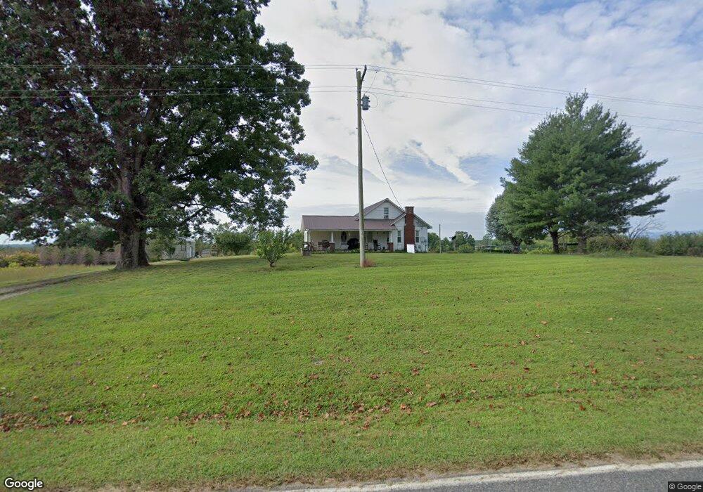
2857 Haystack Rd Mount Airy, NC 27030
Estimated Value: $88,000 - $205,000
3
Beds
2
Baths
1,264
Sq Ft
$120/Sq Ft
Est. Value
About This Home
This home is located at 2857 Haystack Rd, Mount Airy, NC 27030 and is currently estimated at $151,335, approximately $119 per square foot. 2857 Haystack Rd is a home with nearby schools including Cedar Ridge Elementary School, J. Sam Gentry Middle School, and North Surry High School.
Ownership History
Date
Name
Owned For
Owner Type
Purchase Details
Closed on
Apr 5, 2021
Sold by
Lowe Gary A and Lowe Deborah
Bought by
Montoya Gregorio R
Current Estimated Value
Purchase Details
Closed on
Mar 18, 2016
Sold by
Lowe Patricia R and Lowe Gary Alton
Bought by
Lowe Kenneth W and Lowe Patricia S
Purchase Details
Closed on
Jul 6, 2006
Sold by
Lowe Patricia R
Bought by
Lowe Patricia R
Create a Home Valuation Report for This Property
The Home Valuation Report is an in-depth analysis detailing your home's value as well as a comparison with similar homes in the area
Purchase History
| Date | Buyer | Sale Price | Title Company |
|---|---|---|---|
| Montoya Gregorio R | $43,000 | None Available | |
| Montoya Gregorio Rodriguez | $43,000 | None Listed On Document | |
| Lowe Kenneth W | -- | None Available | |
| Lowe Patricia R | -- | None Available |
Source: Public Records
Tax History
| Year | Tax Paid | Tax Assessment Tax Assessment Total Assessment is a certain percentage of the fair market value that is determined by local assessors to be the total taxable value of land and additions on the property. | Land | Improvement |
|---|---|---|---|---|
| 2025 | $629 | $95,500 | $9,600 | $85,900 |
| 2024 | $548 | $76,450 | $9,600 | $66,850 |
| 2023 | $539 | $76,450 | $9,600 | $66,850 |
| 2022 | $539 | $76,450 | $9,600 | $66,850 |
| 2021 | $409 | $76,450 | $9,600 | $66,850 |
| 2020 | $401 | $52,260 | $9,600 | $42,660 |
| 2019 | $398 | $52,260 | $9,600 | $42,660 |
| 2018 | $392 | $52,260 | $0 | $0 |
| 2017 | $389 | $52,260 | $0 | $0 |
| 2016 | $0 | $52,260 | $0 | $0 |
Source: Public Records
Map
Nearby Homes
- 3354 Haystack Rd
- 397 Prison Camp Rd
- 6222 W Pine St
- 0 Fisher Valley Rd
- 543 Fisher Valley Rd
- 4 Haystack Rd
- Lot 15 Fisher Valley Rd
- Lot 14 Fisher Valley Rd
- Lot 13 Fisher Valley Rd
- Lot 12 Fisher Valley Rd
- Lot 10 Fisher Valley Rd
- Lot 9 Fisher Valley Rd
- Lot 11 Fisher Valley Rd
- 180 Cedar Lake Trail
- 17.96 Acres Aubrey Thomas Ln
- 146 Ringwood Dr
- 000 Crossroads Church Rd
- 213 Judsville School Rd
- 105 Pepperbush Trail
- 000 Big Rock Ln
- 2888 Haystack Rd
- 1331 Haystack Rd
- 2798 Haystack Rd
- 197 Shelton Rd
- 2767 Haystack Rd
- 2768 Haystack Rd
- 2768 Haystack Rd
- 226 Shelton Rd
- 2735 Haystack Rd
- 301 Sexton Rd
- 290 Shelton Rd
- 3024 Haystack Rd
- 277 Sexton Rd
- 263 Sexton Rd
- 204 Trinity Farm Trail
- 239 Sexton Rd
- 233 Trinity Farm Trail
- 471 Neal Rd
- 447 Neal Rd
- 3052 Haystack Rd
Your Personal Tour Guide
Ask me questions while you tour the home.