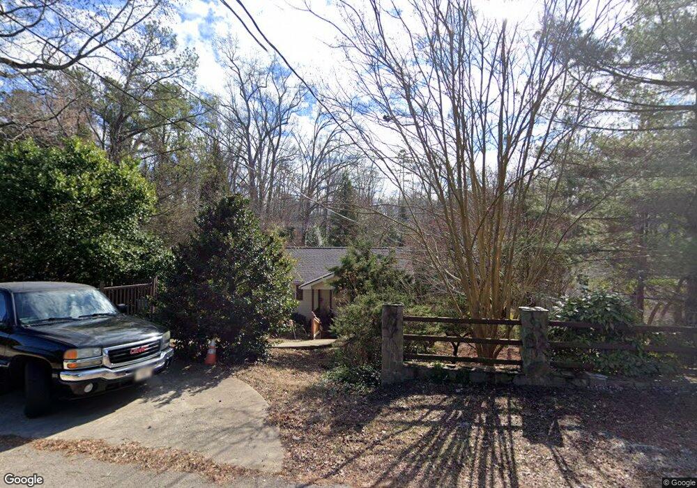
2857 Merritt Dr Buford, GA 30518
Estimated Value: $262,195 - $417,000
2
Beds
2
Baths
832
Sq Ft
$414/Sq Ft
Est. Value
About This Home
This home is located at 2857 Merritt Dr, Buford, GA 30518 and is currently estimated at $344,299, approximately $413 per square foot. 2857 Merritt Dr is a home located in Hall County with nearby schools including Friendship Elementary School, C.W. Davis Middle School, and Flowery Branch High School.
Ownership History
Date
Name
Owned For
Owner Type
Purchase Details
Closed on
Sep 14, 2005
Sold by
Hardiman Michael
Bought by
Hardiman Charles
Current Estimated Value
Purchase Details
Closed on
Oct 24, 2003
Sold by
Patterson Alfred and Patterson Karen M
Bought by
Hardiman Michael and Hardiman Charles
Home Financials for this Owner
Home Financials are based on the most recent Mortgage that was taken out on this home.
Original Mortgage
$101,200
Interest Rate
6.07%
Mortgage Type
New Conventional
Purchase Details
Closed on
Jun 26, 2003
Sold by
Haislip Garnette M
Bought by
Patterson Alfred and Patterson Karen
Home Financials for this Owner
Home Financials are based on the most recent Mortgage that was taken out on this home.
Original Mortgage
$90,000
Interest Rate
5.43%
Mortgage Type
New Conventional
Create a Home Valuation Report for This Property
The Home Valuation Report is an in-depth analysis detailing your home's value as well as a comparison with similar homes in the area
Home Values in the Area
Average Home Value in this Area
Purchase History
| Date | Buyer | Sale Price | Title Company |
|---|---|---|---|
| Hardiman Charles | -- | -- | |
| Hardiman Michael | $126,700 | -- | |
| Patterson Alfred | $40,000 | -- |
Source: Public Records
Mortgage History
| Date | Status | Borrower | Loan Amount |
|---|---|---|---|
| Previous Owner | Hardiman Michael | $101,200 | |
| Previous Owner | Patterson Alfred | $90,000 |
Source: Public Records
Tax History Compared to Growth
Tax History
| Year | Tax Paid | Tax Assessment Tax Assessment Total Assessment is a certain percentage of the fair market value that is determined by local assessors to be the total taxable value of land and additions on the property. | Land | Improvement |
|---|---|---|---|---|
| 2024 | $2,039 | $79,600 | $3,960 | $75,640 |
| 2023 | $2,138 | $83,640 | $3,960 | $79,680 |
| 2022 | $1,660 | $61,640 | $3,960 | $57,680 |
| 2021 | $1,578 | $57,360 | $4,000 | $53,360 |
| 2020 | $1,562 | $55,080 | $4,000 | $51,080 |
| 2019 | $1,358 | $47,120 | $4,000 | $43,120 |
| 2018 | $1,108 | $36,682 | $4,000 | $32,682 |
| 2017 | $1,097 | $36,682 | $4,000 | $32,682 |
| 2016 | $1,072 | $36,682 | $4,000 | $32,682 |
| 2015 | $1,080 | $36,682 | $4,000 | $32,682 |
| 2014 | $1,080 | $36,682 | $4,000 | $32,682 |
Source: Public Records
Map
Nearby Homes
- 5574 Lanier Islands Pkwy
- 5885 Bay View Dr
- 6558 Lanier Islands Pkwy
- 5832 Bay View Dr
- 5775 Lakeshore Dr
- 5839 Lakeshore Dr
- 6030 Chimney Springs Rd
- 6127 Bethany View Trail
- 6119 Bethany View Trail
- 6205 Bridgewood Dr
- 6226 Bridgewood Dr
- 6225 Bridgewood Dr
- 3617 Shoreland Dr
- 5989 Lanier Islands Pkwy
- 5697 Frontier Walk Ln
- 3441 Shoreland Dr
- 6120 Hutchins Dr
- 2853 Merritt Dr
- 2863 Merritt Dr
- 0 Merritt Dr Unit 8798246
- 0 Merritt Dr Unit 8789506
- 0 Merritt Dr Unit 8724929
- 0 Merritt Dr Unit 8501619
- 0 Merritt Dr Unit 8645050
- 0 Merritt Dr Unit 7243218
- 2852 Coles Mill Dr
- 2833 Merritt Dr
- 6480 Tuggle Dr
- 6490 Tuggle Dr
- 2809 Merritt Dr
- 2868 Rowe Dr
- 2876 Rowe Dr
- 6410 Tuggle Dr
- 2803 Merritt Dr
- 2872 Rowe Dr
- 2804 Merritt Dr
- 6398 Tuggle Dr