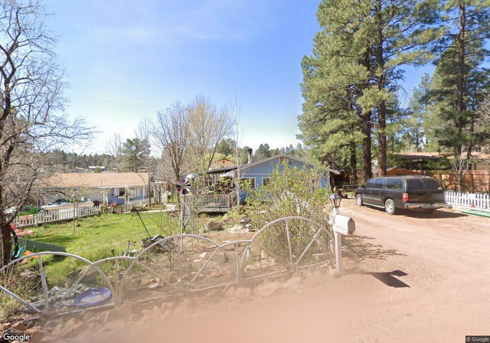
2857 Squirrel Dr Show Low, AZ 85901
Estimated Value: $282,937 - $389,000
Studio
--
Bath
2,154
Sq Ft
$151/Sq Ft
Est. Value
About This Home
This home is located at 2857 Squirrel Dr, Show Low, AZ 85901 and is currently estimated at $324,234, approximately $150 per square foot. 2857 Squirrel Dr is a home located in Navajo County with nearby schools including Nikolaus Homestead Elementary School, Show Low High School, and Show Low Junior High School.
Ownership History
Date
Name
Owned For
Owner Type
Purchase Details
Closed on
Sep 21, 2010
Sold by
Clark Penny J
Bought by
Mills Michael Joseph and Mills Elizabeth Ann
Current Estimated Value
Home Financials for this Owner
Home Financials are based on the most recent Mortgage that was taken out on this home.
Original Mortgage
$129,900
Outstanding Balance
$85,515
Interest Rate
4.38%
Mortgage Type
Seller Take Back
Estimated Equity
$238,719
Create a Home Valuation Report for This Property
The Home Valuation Report is an in-depth analysis detailing your home's value as well as a comparison with similar homes in the area
Purchase History
| Date | Buyer | Sale Price | Title Company |
|---|---|---|---|
| Mills Michael Joseph | -- | Lawyers Title Of Arizona Inc |
Source: Public Records
Mortgage History
| Date | Status | Borrower | Loan Amount |
|---|---|---|---|
| Open | Mills Michael Joseph | $129,900 |
Source: Public Records
Tax History
| Year | Tax Paid | Tax Assessment Tax Assessment Total Assessment is a certain percentage of the fair market value that is determined by local assessors to be the total taxable value of land and additions on the property. | Land | Improvement |
|---|---|---|---|---|
| 2026 | $976 | -- | -- | -- |
| 2025 | $960 | $20,937 | $2,115 | $18,822 |
| 2024 | $902 | $20,993 | $2,115 | $18,878 |
| 2023 | $960 | $16,282 | $2,052 | $14,230 |
| 2022 | $902 | $0 | $0 | $0 |
| 2021 | $916 | $0 | $0 | $0 |
| 2020 | $852 | $0 | $0 | $0 |
| 2019 | $853 | $0 | $0 | $0 |
| 2018 | $816 | $0 | $0 | $0 |
| 2017 | $780 | $0 | $0 | $0 |
| 2016 | $770 | $0 | $0 | $0 |
| 2015 | $726 | $8,471 | $1,300 | $7,171 |
Source: Public Records
Map
Nearby Homes
- 4041 Gold Dust Trail
- 2842 Gold Dust Trail
- 1481 S Snowberry Ct
- 1790 W Snow Creek Trail
- 2360 S Pinegrass Rd Unit Lot 27
- 2340 W Pinegrass Rd Unit Lot 26
- 2341 W Pinegrass Rd Unit Lot 25
- 1760 S Monkshood Rd
- 2480 Narrow Leaf Ln
- 2360 Narrow Leaf Ln Unit Lot 15
- 2540 W Pinegrass Rd
- 1761 S Alder Leaf Ln
- 2080 S High Sierra Ct
- 2080 S High Sierra Ct Unit 86A
- 1300 W Sugar Creek Ct
- 1820 S Rockwood Cir
- 1661 S Gambel Oak Rd
- 1640 S Spruce Ln
- 1610 W Snow Creek Trail
- 1281 W Snow Creek Trail
- 2856 Summer Pines Dr
- 4290 Pheasant Trail Unit 236
- 4232 Pheasant Trail
- 2838 Squirrel Dr
- 2944 Summer Pines Dr
- 4087 Quail Ave
- 2751 Bob o Link Dr
- 4185 Pheasant Trail
- 2839 King Fisher Dr
- 4221 Quail Ave
- 4132 Quail Ave
- 4257 Pheasant Trail
- 4096 Quail Ave
- 2815 King Fisher Dr
- 4208 Meadow Grove Dr
- 2725 Bob o Link Dr
- 4184 Meadow Grove Dr
- 2884 Feather Ln
- 4290 Larkspur Dr
- 4060 Quail Ave