286 Crook Rd Carrollton, GA 30117
Estimated Value: $238,000 - $537,000
2
Beds
1
Bath
1,120
Sq Ft
$312/Sq Ft
Est. Value
About This Home
This home is located at 286 Crook Rd, Carrollton, GA 30117 and is currently estimated at $349,341, approximately $311 per square foot. 286 Crook Rd is a home located in Carroll County with nearby schools including Bowdon Elementary School, Bowdon Middle School, and Bowdon High School.
Ownership History
Date
Name
Owned For
Owner Type
Purchase Details
Closed on
Jun 5, 2005
Sold by
Cable Frank C and Cable Teresa L
Bought by
Cable Frank C and Cable Teresa L
Current Estimated Value
Purchase Details
Closed on
Jun 7, 2001
Sold by
Cable Frank C Jr & Patricia W
Bought by
Cable Frank C Iii & Teresa L
Purchase Details
Closed on
Apr 6, 1999
Sold by
Drake Larry Etal
Bought by
Cable Frank C Jr
Create a Home Valuation Report for This Property
The Home Valuation Report is an in-depth analysis detailing your home's value as well as a comparison with similar homes in the area
Home Values in the Area
Average Home Value in this Area
Purchase History
| Date | Buyer | Sale Price | Title Company |
|---|---|---|---|
| Cable Frank C | -- | -- | |
| Cable Frank C Iii & Teresa L | -- | -- | |
| Cable Patricia W | -- | -- | |
| Cable Frank C Jr | $106,500 | -- |
Source: Public Records
Tax History Compared to Growth
Tax History
| Year | Tax Paid | Tax Assessment Tax Assessment Total Assessment is a certain percentage of the fair market value that is determined by local assessors to be the total taxable value of land and additions on the property. | Land | Improvement |
|---|---|---|---|---|
| 2024 | $2,027 | $110,392 | $46,350 | $64,042 |
| 2023 | $2,027 | $96,505 | $37,080 | $59,425 |
| 2022 | $1,552 | $72,453 | $24,720 | $47,733 |
| 2021 | $1,405 | $62,205 | $19,776 | $42,429 |
| 2020 | $1,265 | $54,393 | $17,977 | $36,416 |
| 2019 | $1,226 | $51,634 | $17,977 | $33,657 |
| 2018 | $1,145 | $47,592 | $16,802 | $30,790 |
| 2017 | $1,148 | $47,592 | $16,802 | $30,790 |
| 2016 | $1,149 | $47,592 | $16,802 | $30,790 |
| 2015 | $1,199 | $46,863 | $17,870 | $28,993 |
| 2014 | $1,204 | $46,863 | $17,870 | $28,993 |
Source: Public Records
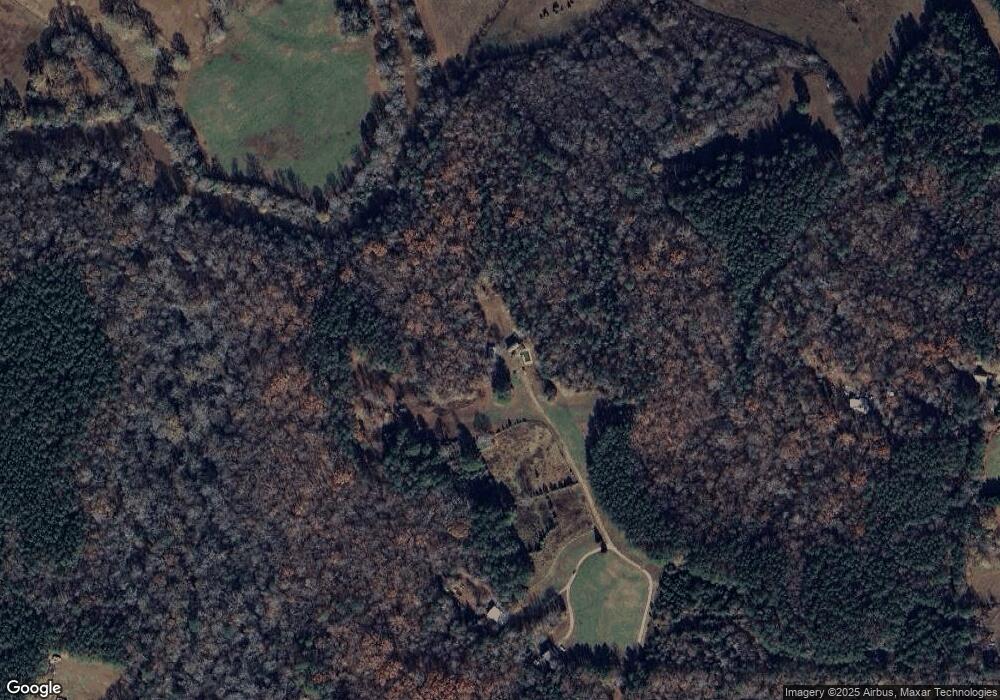
Map
Nearby Homes
- 1810 Victory Church Rd
- 2701 Victory Church Rd
- 4144 Tyus Carrollton Rd
- 4228 Tyus Carrollton Rd
- 450 Baxter Rd
- 1629 Bethesda Church Rd
- 1611 Bethesda Church Rd
- 1593 Bethesda Church Rd
- 1575 Bethesda Church Rd
- 0 Needmore Rd Unit (345 37 Acres)
- 1698 Georgia 5
- 75 Dashboard Rd
- 3071 Georgia 5
- 3083 Georgia 5
- 3101 Georgia 5
- 3129 Georgia 5
- 1358 W 5 Hwy
- TRACT 2 Attaway Rd Unit TRACT 4.59 ACRES
- 280 Crook Rd
- 330 Crook Rd
- 286 Old Word Rd
- 430 Old Word Rd
- 310 Crook Rd
- 200 Old Word Rd
- 116 Old Word Rd
- 116 Old Word Rd
- 427 Old Word Rd
- 315 Crook Rd
- 96 Old Word Rd
- 274 Crook Rd
- 347 Crook Rd
- 506 Barnes Mill Rd
- 295 Old Word Rd
- 0 Crook Rd Unit 7153037
- 0 Crook Rd Unit 8469877
- 0 Crook Rd Unit 3121736
- 0 Crook Rd Unit 7380439
- 0 Crook Rd Unit 7274828