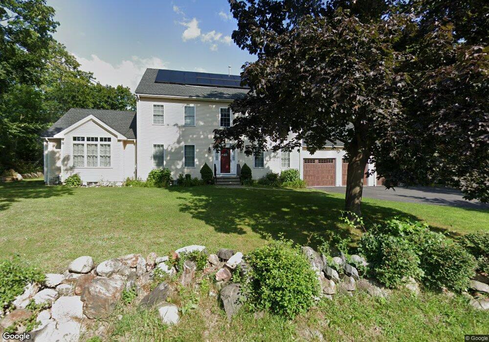
286 Davis Rd Bedford, MA 01730
Estimated Value: $1,490,000 - $1,777,000
5
Beds
3
Baths
2,240
Sq Ft
$722/Sq Ft
Est. Value
About This Home
This home is located at 286 Davis Rd, Bedford, MA 01730 and is currently estimated at $1,618,150, approximately $722 per square foot. 286 Davis Rd is a home located in Middlesex County with nearby schools including Lt. Elezer Davis Elementary School, Lt .Job Lane Elementary School, and John Glenn Middle School.
Ownership History
Date
Name
Owned For
Owner Type
Purchase Details
Closed on
Dec 7, 2010
Sold by
Davis Christina and Davis Eric Olof
Bought by
Guarin Edwin and Lalooses Francine
Current Estimated Value
Home Financials for this Owner
Home Financials are based on the most recent Mortgage that was taken out on this home.
Original Mortgage
$508,000
Outstanding Balance
$333,001
Interest Rate
4.22%
Mortgage Type
Purchase Money Mortgage
Estimated Equity
$1,285,149
Purchase Details
Closed on
Dec 15, 2004
Sold by
Gray Cynthia R and Gray Edward C
Bought by
Davis Christina and Davis Eric Olof
Home Financials for this Owner
Home Financials are based on the most recent Mortgage that was taken out on this home.
Original Mortgage
$285,000
Interest Rate
5.68%
Mortgage Type
Purchase Money Mortgage
Create a Home Valuation Report for This Property
The Home Valuation Report is an in-depth analysis detailing your home's value as well as a comparison with similar homes in the area
Home Values in the Area
Average Home Value in this Area
Purchase History
| Date | Buyer | Sale Price | Title Company |
|---|---|---|---|
| Guarin Edwin | $635,000 | -- | |
| Davis Christina | $300,000 | -- |
Source: Public Records
Mortgage History
| Date | Status | Borrower | Loan Amount |
|---|---|---|---|
| Open | Guarin Edwin | $508,000 | |
| Previous Owner | Davis Christina | $285,000 |
Source: Public Records
Tax History
| Year | Tax Paid | Tax Assessment Tax Assessment Total Assessment is a certain percentage of the fair market value that is determined by local assessors to be the total taxable value of land and additions on the property. | Land | Improvement |
|---|---|---|---|---|
| 2025 | $153 | $1,267,800 | $491,400 | $776,400 |
| 2024 | $14,344 | $1,207,400 | $468,000 | $739,400 |
| 2023 | $13,875 | $1,111,800 | $442,000 | $669,800 |
| 2022 | $14,912 | $1,098,100 | $433,400 | $664,700 |
| 2021 | $76 | $1,089,400 | $424,700 | $664,700 |
| 2020 | $13,689 | $1,038,600 | $424,700 | $613,900 |
| 2019 | $11,140 | $859,600 | $424,700 | $434,900 |
| 2018 | $6,496 | $772,500 | $371,300 | $401,200 |
| 2017 | $10,545 | $712,000 | $362,300 | $349,700 |
| 2016 | $10,099 | $660,900 | $329,400 | $331,500 |
| 2015 | $9,662 | $660,900 | $329,400 | $331,500 |
| 2014 | $9,871 | $628,300 | $312,000 | $316,300 |
Source: Public Records
Map
Nearby Homes
- 1 Glenridge Dr
- 1 Hillcrest Rd
- 25 Glenridge Dr
- 389 Concord Rd
- 45 Winterberry Way
- 6 Parker Rd
- 186 Concord Rd
- 7 Blue Heron Way
- 389 River Rd
- 1409 Monument St
- 1437-3 Monument St
- 210 Monument Farm Rd
- 1 Harvard Dr
- 34 Pickman Dr Unit 14
- 82 Ash St
- 10 Nickerson Rd
- 93 Springs Rd
- 36 Loomis St Unit 104
- 36 Loomis St Unit 301
- 36 Loomis St Unit 404
Your Personal Tour Guide
Ask me questions while you tour the home.